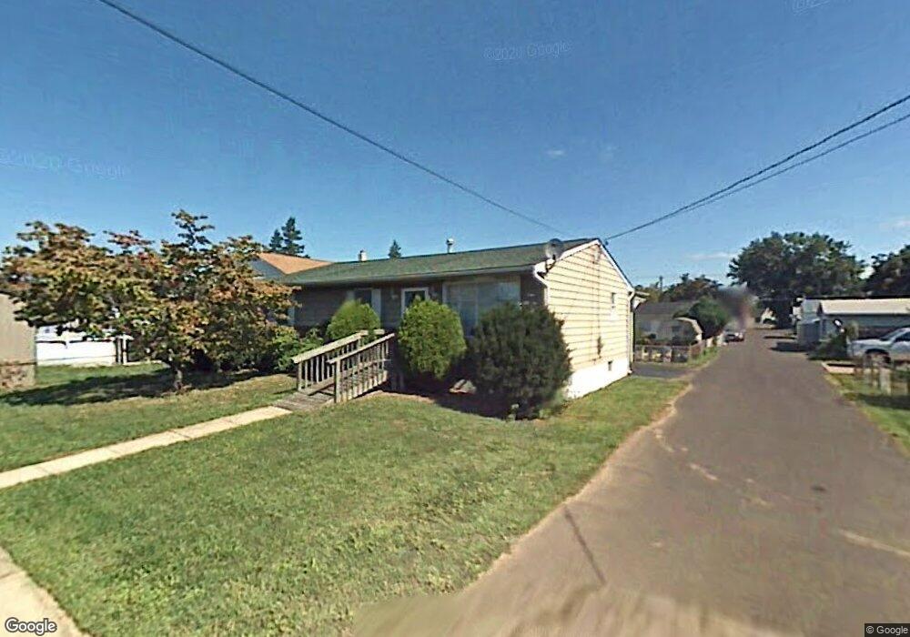
735 Point St Bristol, PA 19007
Estimated Value: $289,000 - $365,915
3
Beds
2
Baths
1,080
Sq Ft
$304/Sq Ft
Est. Value
About This Home
This home is located at 735 Point St, Bristol, PA 19007 and is currently estimated at $328,229, approximately $303 per square foot. 735 Point St is a home located in Bucks County with nearby schools including Snyder-Girotti Elementary School, Bristol High School, and St. Mark Elementary School.
Ownership History
Date
Name
Owned For
Owner Type
Purchase Details
Closed on
Mar 13, 2015
Sold by
Dillissio Raymond and Dillissio Jennie R
Bought by
Dillissio Raymond and Dillissio Jennie R
Current Estimated Value
Home Financials for this Owner
Home Financials are based on the most recent Mortgage that was taken out on this home.
Original Mortgage
$121,060
Outstanding Balance
$68,746
Interest Rate
3.75%
Mortgage Type
New Conventional
Estimated Equity
$259,483
Purchase Details
Closed on
Jun 16, 2005
Sold by
Dechico Marie
Bought by
Dilissio Raymond and Stevens Jennie
Home Financials for this Owner
Home Financials are based on the most recent Mortgage that was taken out on this home.
Original Mortgage
$142,025
Interest Rate
5.59%
Mortgage Type
Fannie Mae Freddie Mac
Purchase Details
Closed on
Jul 30, 1973
Bought by
Dechico James and Dechico Marie
Create a Home Valuation Report for This Property
The Home Valuation Report is an in-depth analysis detailing your home's value as well as a comparison with similar homes in the area
Home Values in the Area
Average Home Value in this Area
Purchase History
| Date | Buyer | Sale Price | Title Company |
|---|---|---|---|
| Dillissio Raymond | -- | Servicelink | |
| Dilissio Raymond | $149,500 | Fidelity Natl Title Ins Co | |
| Dechico James | -- | -- |
Source: Public Records
Mortgage History
| Date | Status | Borrower | Loan Amount |
|---|---|---|---|
| Open | Dillissio Raymond | $121,060 | |
| Closed | Dilissio Raymond | $142,025 |
Source: Public Records
Tax History Compared to Growth
Tax History
| Year | Tax Paid | Tax Assessment Tax Assessment Total Assessment is a certain percentage of the fair market value that is determined by local assessors to be the total taxable value of land and additions on the property. | Land | Improvement |
|---|---|---|---|---|
| 2025 | $4,471 | $19,200 | $4,120 | $15,080 |
| 2024 | $4,471 | $19,200 | $4,120 | $15,080 |
| 2023 | $4,432 | $19,200 | $4,120 | $15,080 |
| 2022 | $4,432 | $19,200 | $4,120 | $15,080 |
| 2021 | $4,432 | $19,200 | $4,120 | $15,080 |
| 2020 | $4,557 | $19,200 | $4,120 | $15,080 |
| 2019 | $4,538 | $19,200 | $4,120 | $15,080 |
| 2018 | $4,538 | $19,200 | $4,120 | $15,080 |
| 2017 | $4,514 | $19,200 | $4,120 | $15,080 |
| 2016 | $4,514 | $19,200 | $4,120 | $15,080 |
| 2015 | -- | $19,200 | $4,120 | $15,080 |
| 2014 | -- | $19,200 | $4,120 | $15,080 |
Source: Public Records
Map
Nearby Homes
- 637 Spruce St
- 623 Spruce St
- 646 Spruce St
- 224 Buckley St
- 612 Pond St
- 702 Fairview Ave
- 418 Jefferson Ave Unit 10
- 418 Jefferson Ave Unit 4
- 446 Pond St
- 114 Mifflin St
- 348 Jefferson Ave
- 580 Bath St
- 327 Wood St
- 566 Swain St
- 216 Dorrance St
- 566 Linden St
- 523 Swain St
- 209 Dorrance St
- 900 Tower Rd
- 2 Canals End Rd Unit 305