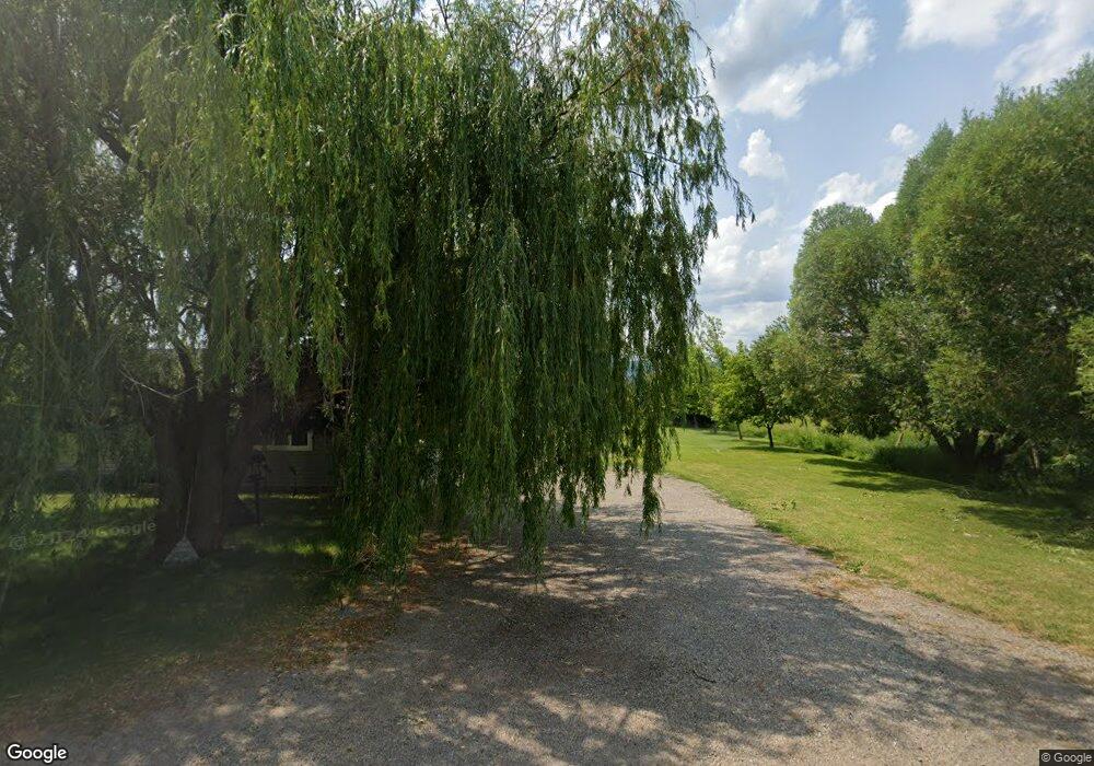
735 S Muddy String Rd Thayne, WY 83127
Estimated Value: $313,394 - $539,000
3
Beds
1
Bath
1,150
Sq Ft
$357/Sq Ft
Est. Value
About This Home
This home is located at 735 S Muddy String Rd, Thayne, WY 83127 and is currently estimated at $410,349, approximately $356 per square foot. 735 S Muddy String Rd is a home located in Lincoln County with nearby schools including Thayne Elementary School, Etna Elementary School, and Star Valley Middle School.
Ownership History
Date
Name
Owned For
Owner Type
Purchase Details
Closed on
Jul 30, 2025
Sold by
Payseno Alicia and Estate Of Sharon Kay Thompson
Bought by
Payseno Alicia Marie and Payseno Jodell Bruce
Current Estimated Value
Home Financials for this Owner
Home Financials are based on the most recent Mortgage that was taken out on this home.
Original Mortgage
$267,000
Outstanding Balance
$266,766
Interest Rate
6.67%
Estimated Equity
$143,583
Create a Home Valuation Report for This Property
The Home Valuation Report is an in-depth analysis detailing your home's value as well as a comparison with similar homes in the area
Home Values in the Area
Average Home Value in this Area
Purchase History
| Date | Buyer | Sale Price | Title Company |
|---|---|---|---|
| Payseno Alicia Marie | -- | Northern Title Co |
Source: Public Records
Mortgage History
| Date | Status | Borrower | Loan Amount |
|---|---|---|---|
| Open | Payseno Alicia Marie | $267,000 |
Source: Public Records
Tax History Compared to Growth
Tax History
| Year | Tax Paid | Tax Assessment Tax Assessment Total Assessment is a certain percentage of the fair market value that is determined by local assessors to be the total taxable value of land and additions on the property. | Land | Improvement |
|---|---|---|---|---|
| 2025 | $1,014 | $11,748 | $2,137 | $9,611 |
| 2024 | $1,014 | $16,249 | $2,849 | $13,400 |
| 2023 | $1,064 | $17,052 | $2,849 | $14,203 |
| 2022 | $855 | $13,680 | $2,192 | $11,488 |
| 2021 | $625 | $9,964 | $1,623 | $8,341 |
| 2020 | $572 | $9,696 | $1,623 | $8,073 |
| 2019 | $565 | $9,441 | $1,623 | $7,818 |
| 2018 | $515 | $8,606 | $1,623 | $6,983 |
| 2017 | $485 | $8,103 | $1,476 | $6,627 |
| 2016 | -- | $6,695 | $0 | $6,695 |
| 2015 | -- | $7,328 | $0 | $7,328 |
| 2014 | -- | $7,157 | $0 | $7,157 |
Source: Public Records
Map
Nearby Homes
- LOT 8 Hesson Commercial Park
- LOT 81 Hillside Cir
- LOT 45 Hardman Rd
- LOT 61 Pine Dr
- 1534 Aspen Hollow Rd
- LOT 25 Cedar Dr
- LOT 119 Hardman Rd
- LOT 90 Piute Dr
- 7 Lost Creek Rd
- 271 Lincoln Ln
- LOT 17 Star Valley Springs Loop
- LOT 3 Haystack Ln
- LOT 4 Haystack Ln
- LOT 22 Star Valley Springs Loop
- 100 Bear Hollow Cir
- 417 Grizzly Rd
- 326 Wright St
- 185 Franklin Ave
- 0 Franklin Ave Unit 25-2074
- LOT 3 County Road 120
- 703 S Muddy String Rd
- 734 S Muddy String Rd
- 778 S Muddy String Rd
- 836 S Muddy String Rd
- 980 S Muddy String Rd
- 1084 S Muddy String Rd
- 1111 S Muddy String Rd
- 1111 County Road 117
- 1136 S Muddy String Rd
- 312 S Muddy String Rd
- 165 E Circle Dr
- 145 E Circle Dr
- 233 E Circle Dr
- 0 Lot 10 East Circle Dr Unit 22-2520
- 275 E Circle Dr
- 146 E Circle Dr
- 115 E Circle Dr
- LOT 2 Muddy String Rd 117
- 0 Muddy String Road 117
- 5214 Muddy String Road 117
