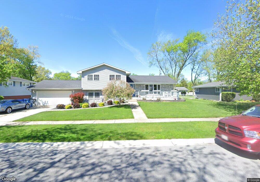
735 S Sherman St Crown Point, IN 46307
Estimated Value: $357,222 - $382,000
3
Beds
3
Baths
2,352
Sq Ft
$157/Sq Ft
Est. Value
About This Home
This home is located at 735 S Sherman St, Crown Point, IN 46307 and is currently estimated at $369,306, approximately $157 per square foot. 735 S Sherman St is a home located in Lake County with nearby schools including Solon Robinson Elementary School, Robert Taft Middle School, and Crown Point High School.
Ownership History
Date
Name
Owned For
Owner Type
Purchase Details
Closed on
Mar 16, 2012
Sold by
Crane Janet M
Bought by
Crane David and Crane Janet M
Current Estimated Value
Home Financials for this Owner
Home Financials are based on the most recent Mortgage that was taken out on this home.
Original Mortgage
$183,820
Interest Rate
3.75%
Mortgage Type
FHA
Create a Home Valuation Report for This Property
The Home Valuation Report is an in-depth analysis detailing your home's value as well as a comparison with similar homes in the area
Home Values in the Area
Average Home Value in this Area
Purchase History
| Date | Buyer | Sale Price | Title Company |
|---|---|---|---|
| Crane David | -- | Premium Title |
Source: Public Records
Mortgage History
| Date | Status | Borrower | Loan Amount |
|---|---|---|---|
| Previous Owner | Crane David | $183,820 |
Source: Public Records
Tax History Compared to Growth
Tax History
| Year | Tax Paid | Tax Assessment Tax Assessment Total Assessment is a certain percentage of the fair market value that is determined by local assessors to be the total taxable value of land and additions on the property. | Land | Improvement |
|---|---|---|---|---|
| 2024 | $7,896 | $315,500 | $44,600 | $270,900 |
| 2023 | $3,065 | $287,300 | $44,600 | $242,700 |
| 2022 | $3,065 | $275,100 | $44,600 | $230,500 |
| 2021 | $2,847 | $256,300 | $34,700 | $221,600 |
| 2020 | $2,792 | $251,200 | $34,700 | $216,500 |
| 2019 | $2,745 | $243,000 | $34,700 | $208,300 |
| 2018 | $3,139 | $233,400 | $34,700 | $198,700 |
| 2017 | $3,058 | $226,200 | $34,700 | $191,500 |
| 2016 | $3,018 | $220,600 | $34,700 | $185,900 |
| 2014 | $2,554 | $204,700 | $34,700 | $170,000 |
| 2013 | $2,444 | $196,400 | $34,700 | $161,700 |
Source: Public Records
Map
Nearby Homes
- 780 Williams Ct
- 744 S Court St
- 924 W Crestview Ct
- 801 Courtney Dr
- 772 Courtney Dr
- 622 E Brookside Dr
- 300 Omega Dr
- 905 S Indiana Ave
- 334 Ellendale Pkwy
- 312 Fairfield Dr
- 416 Las Olas Dr
- 901 Iroquois Dr
- 936 Seneca Dr
- 1152 S Ridge St
- 617 Helen Ct
- 991 Greenview Dr
- 321 Bluebird Ave
- 425 Sherwood Dr
- 269 Maxwell St
- 266 Maxwell St
- 731 S Sherman St
- 741 S Sherman St
- 736 S East St
- 740 S East St
- 730 S East St
- 725 S Sherman St
- 745 S Sherman St
- 736 S Sherman St
- 740 S Sherman St
- 730 S Sherman St
- 748 S East St
- 724 S East St
- 748 S Sherman St
- 715 S Sherman St
- 724 S Sherman St
- 759 S Sherman St
- 754 S East St
- 716 S East St
- 754 S Sherman St
- 735 S East St