735 Surry Landing Dr Spring Grove, VA 23881
Estimated Value: $418,000 - $1,056,725
--
Bed
--
Bath
2,016
Sq Ft
$329/Sq Ft
Est. Value
About This Home
This home is located at 735 Surry Landing Dr, Spring Grove, VA 23881 and is currently estimated at $662,908, approximately $328 per square foot. 735 Surry Landing Dr is a home located in Surry County with nearby schools including Surry Elementary School, Luther P. Jackson Middle School, and Surry County High School.
Ownership History
Date
Name
Owned For
Owner Type
Purchase Details
Closed on
Jul 9, 2021
Sold by
Smith Roger C
Bought by
Williams Adam M and Brockwell Joely Lauren
Current Estimated Value
Home Financials for this Owner
Home Financials are based on the most recent Mortgage that was taken out on this home.
Original Mortgage
$400,000
Outstanding Balance
$301,658
Interest Rate
2.18%
Mortgage Type
Construction
Estimated Equity
$361,250
Create a Home Valuation Report for This Property
The Home Valuation Report is an in-depth analysis detailing your home's value as well as a comparison with similar homes in the area
Home Values in the Area
Average Home Value in this Area
Purchase History
| Date | Buyer | Sale Price | Title Company |
|---|---|---|---|
| Williams Adam M | $600,000 | -- |
Source: Public Records
Mortgage History
| Date | Status | Borrower | Loan Amount |
|---|---|---|---|
| Open | Williams Adam M | $400,000 |
Source: Public Records
Tax History Compared to Growth
Tax History
| Year | Tax Paid | Tax Assessment Tax Assessment Total Assessment is a certain percentage of the fair market value that is determined by local assessors to be the total taxable value of land and additions on the property. | Land | Improvement |
|---|---|---|---|---|
| 2025 | $5,118 | $720,800 | $312,100 | $408,700 |
| 2024 | $4,790 | $674,700 | $266,000 | $408,700 |
| 2023 | $4,790 | $674,700 | $266,000 | $408,700 |
| 2022 | $4,641 | $644,600 | $266,000 | $378,600 |
| 2021 | $4,469 | $580,400 | $266,000 | $314,400 |
| 2020 | $4,121 | $580,400 | $266,000 | $314,400 |
| 2019 | $4,121 | $580,400 | $266,000 | $314,400 |
| 2018 | $4,121 | $580,400 | $266,000 | $314,400 |
| 2017 | $4,121 | $580,400 | $266,000 | $314,400 |
| 2016 | $4,121 | $580,400 | $266,000 | $314,400 |
| 2015 | -- | $642,700 | $291,000 | $351,700 |
| 2014 | -- | $642,700 | $291,000 | $351,700 |
| 2013 | -- | $642,700 | $291,000 | $351,700 |
Source: Public Records
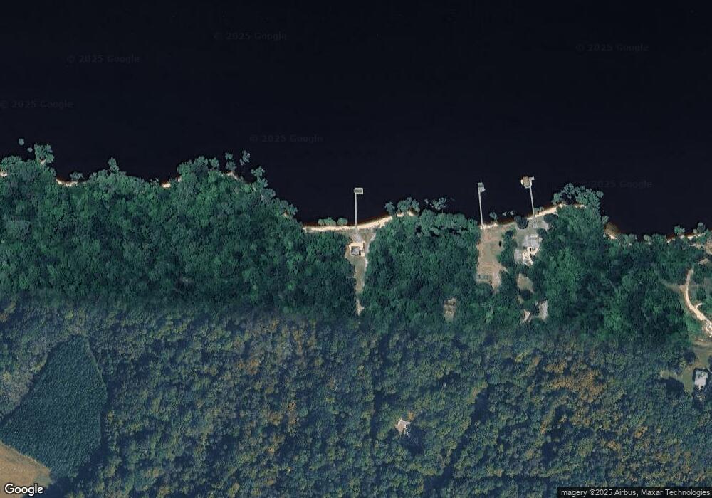
Map
Nearby Homes
- 3104 Nathaniels Green
- 2520 Sanctuary Dr
- 3036 Nathaniel's Green
- 3036 Nathaniels Green
- 1921 Miln House Rd
- 3000 Kitchums Close
- 645 Tappahanna Hundred
- 3008 Kitchums Close
- 1753 Founders Hill S
- 1749 Founders Hill S
- 2031 Hornes Lake Rd
- 1832 John Hancock
- 2905 Kitchums Pond Rd
- 2809 Middle Woodland Close
- 213 the Maine
- 3005 River Reach
- 1621 River Ridge
- 819 Surry Landing Dr
- 831 Surry Landing Dr
- 783 Surry Landing Dr
- 836 Surry Landing Dr
- 2 James River Landing
- 704 Surry Landing Dr
- 8729 Swanns Point Rd
- 7735 Swanns Point Rd
- 1534 Spring Grove Rd
- 7741 Swanns Point Rd
- 337 James River Landing
- 8486 Swanns Point Rd
- 8570 Swanns Point Rd
- 8612 Swanns Point Rd
- 8612 Swanns Point Rd
- 8648 Swanns Point Rd
- 8749 Swanns Point Rd
- 427 James River Landing
- 8616 Swanns Point Rd
- 8628 Swanns Point Rd