735 Sutton Place Ellijay, GA 30540
Estimated Value: $318,000 - $373,000
1
Bed
1
Bath
948
Sq Ft
$357/Sq Ft
Est. Value
About This Home
This home is located at 735 Sutton Place, Ellijay, GA 30540 and is currently estimated at $338,292, approximately $356 per square foot. 735 Sutton Place is a home with nearby schools including Ellijay Elementary School, Clear Creek Elementary School, and Clear Creek Middle School.
Ownership History
Date
Name
Owned For
Owner Type
Purchase Details
Closed on
May 20, 2025
Sold by
Puckett Rebecca
Bought by
Puckett Joshua S and Puckett Kenneth S
Current Estimated Value
Purchase Details
Closed on
Mar 15, 2017
Sold by
Hanley Susan Marie
Bought by
Brewer Gordon L and Brewer Martha L
Purchase Details
Closed on
Apr 3, 2002
Sold by
Mcbrayer Richard
Bought by
Restino Carol and Restino
Purchase Details
Closed on
Jan 1, 1967
Bought by
Mcbrayer Richard
Create a Home Valuation Report for This Property
The Home Valuation Report is an in-depth analysis detailing your home's value as well as a comparison with similar homes in the area
Home Values in the Area
Average Home Value in this Area
Purchase History
| Date | Buyer | Sale Price | Title Company |
|---|---|---|---|
| Puckett Joshua S | -- | -- | |
| Brewer Gordon L | $162,000 | -- | |
| Puckett Rebecca | $38,476 | -- | |
| Restino Carol | -- | -- | |
| Mcbrayer Richard | -- | -- |
Source: Public Records
Tax History Compared to Growth
Tax History
| Year | Tax Paid | Tax Assessment Tax Assessment Total Assessment is a certain percentage of the fair market value that is determined by local assessors to be the total taxable value of land and additions on the property. | Land | Improvement |
|---|---|---|---|---|
| 2025 | $1,601 | $102,552 | $37,200 | $65,352 |
| 2024 | $1,601 | $103,352 | $37,200 | $66,152 |
| 2023 | $1,647 | $102,960 | $37,200 | $65,760 |
| 2022 | $1,373 | $78,000 | $36,400 | $41,600 |
| 2021 | $1,369 | $69,000 | $36,400 | $32,600 |
| 2020 | $1,239 | $56,320 | $36,400 | $19,920 |
| 2019 | $1,275 | $56,320 | $36,400 | $19,920 |
| 2018 | $1,292 | $56,320 | $36,400 | $19,920 |
| 2017 | $1,215 | $58,080 | $39,080 | $19,000 |
| 2016 | $519 | $72,920 | $57,720 | $15,200 |
| 2015 | $725 | $87,320 | $69,400 | $17,920 |
| 2014 | $543 | $87,440 | $69,400 | $18,040 |
| 2013 | -- | $86,280 | $69,400 | $16,880 |
Source: Public Records
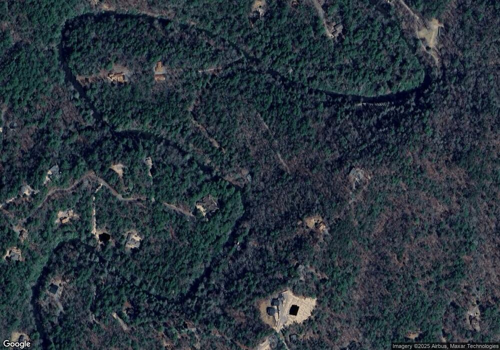
Map
Nearby Homes
- 89 N Whitepath Cir
- Lot 53 Whitepath Cir N
- 804 Pocaset Dr
- 63 Hawk Trail
- Lot 332 Pocaset
- 577 Tonto Dr
- 382 Pocaset
- 160 Nahunta Ct
- 25 Briar Creek Dr
- 425 Riverbend Ct
- 573 Cataula Ct
- 1075 Cherokee Dr
- 695 Satsuma Ct
- LOT 546 Satsuma Ct
- 29 River Ranch Rd
- 12 Cherokee Dr
- 122 River Bend Trail
- 200 Lookiba Ln
- 112 Seneca Dr
- 345 Neshoba Ct E
- 259 Sutton Ridge Way
- 262 Sutton Ridge Way
- 145 N Whitepath Cir
- 300 Sutton Ridge Way
- 335 Sutton Ridge Way
- 0 N Whitepath Cir Unit 273581
- 0 N Whitepath Cir
- 187 N Whitepath Cir
- 195 Neshoba Ct E
- 335 Sutton Ridge Way
- 335 Sutton Ridge Way Unit 26
- 67 N Whitepath Cir
- 88 N Whitepath Cir
- 27 N Whitepath Cir
- 310 Neshoba Ct E
- N N Whitepath Cir
- 200 Neshoba Ct E
- 29 S Whitepath Cir
- 156 S Whitepath Cir Unit 24 S