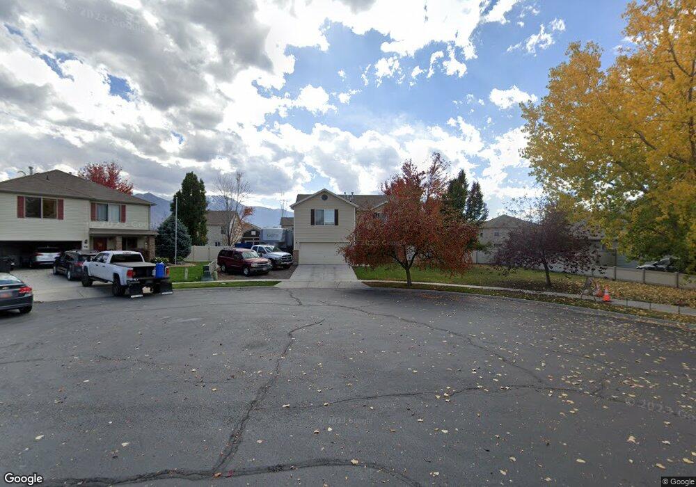
735 W 180 S Spanish Fork, UT 84660
Estimated Value: $468,721 - $504,000
3
Beds
3
Baths
1,729
Sq Ft
$281/Sq Ft
Est. Value
About This Home
This home is located at 735 W 180 S, Spanish Fork, UT 84660 and is currently estimated at $486,180, approximately $281 per square foot. 735 W 180 S is a home located in Utah County with nearby schools including Riverview Elementary School, Spanish Fork Jr High School, and Spanish Fork High School.
Ownership History
Date
Name
Owned For
Owner Type
Purchase Details
Closed on
Dec 26, 2013
Sold by
Martin Troy D
Bought by
Martin Troy D
Current Estimated Value
Home Financials for this Owner
Home Financials are based on the most recent Mortgage that was taken out on this home.
Original Mortgage
$185,173
Outstanding Balance
$145,512
Interest Rate
5.5%
Mortgage Type
FHA
Estimated Equity
$340,668
Purchase Details
Closed on
Dec 20, 2013
Sold by
Wakolee Britni A
Bought by
Martin Troy D
Home Financials for this Owner
Home Financials are based on the most recent Mortgage that was taken out on this home.
Original Mortgage
$185,173
Outstanding Balance
$145,512
Interest Rate
5.5%
Mortgage Type
FHA
Estimated Equity
$340,668
Purchase Details
Closed on
Dec 7, 2007
Sold by
Fieldstone Homes Utah Llc
Bought by
Martin Troy D and Wakolee Britni A
Home Financials for this Owner
Home Financials are based on the most recent Mortgage that was taken out on this home.
Original Mortgage
$7,000
Interest Rate
6.2%
Mortgage Type
Stand Alone Second
Create a Home Valuation Report for This Property
The Home Valuation Report is an in-depth analysis detailing your home's value as well as a comparison with similar homes in the area
Home Values in the Area
Average Home Value in this Area
Purchase History
| Date | Buyer | Sale Price | Title Company |
|---|---|---|---|
| Martin Troy D | -- | Guardian Title Co Of Utal | |
| Martin Troy D | -- | Guardian Title Co Of Utal | |
| Martin Troy D | -- | Bartlett Title Insurance Ag |
Source: Public Records
Mortgage History
| Date | Status | Borrower | Loan Amount |
|---|---|---|---|
| Open | Martin Troy D | $185,173 | |
| Previous Owner | Martin Troy D | $7,000 | |
| Previous Owner | Martin Troy D | $201,832 |
Source: Public Records
Tax History Compared to Growth
Tax History
| Year | Tax Paid | Tax Assessment Tax Assessment Total Assessment is a certain percentage of the fair market value that is determined by local assessors to be the total taxable value of land and additions on the property. | Land | Improvement |
|---|---|---|---|---|
| 2025 | $2,142 | $231,220 | $184,200 | $236,200 |
| 2024 | $2,142 | $220,770 | $0 | $0 |
| 2023 | $2,217 | $228,800 | $0 | $0 |
| 2022 | $2,236 | $226,325 | $0 | $0 |
| 2021 | $1,855 | $300,400 | $110,000 | $190,400 |
| 2020 | $1,766 | $277,900 | $100,000 | $177,900 |
| 2019 | $1,572 | $260,400 | $91,200 | $169,200 |
| 2018 | $1,454 | $232,800 | $83,900 | $148,900 |
| 2017 | $1,352 | $116,325 | $0 | $0 |
| 2016 | $1,255 | $106,535 | $0 | $0 |
| 2015 | $1,153 | $96,745 | $0 | $0 |
| 2014 | $1,122 | $94,490 | $0 | $0 |
Source: Public Records
Map
Nearby Homes
- 231 S 880 W
- 903 W 100 S
- 2645 W 360 S Unit 1
- 2576 W 360 S Unit 5
- 13 N 710 W
- 1040 W Center St
- 1026 W 350 S
- 501 S 880 W
- 88 S 400 W
- 956 W 40 N
- 226 N 860 W Unit 156
- 333 S 1170 W
- 833 W 250 N
- 1788 N 630 St W Unit 47
- 1826 N 630 St W Unit 101
- 1841 N 630 St W Unit 71
- 351 W 530 S
- 225 W 300 S
- 429 S 1280 W
- 1299 W 250 S