735 W Jordan Ranch Rd Kingman, AR 86409
Estimated Value: $692,000 - $901,000
--
Bed
3
Baths
2,470
Sq Ft
$305/Sq Ft
Est. Value
About This Home
This home is located at 735 W Jordan Ranch Rd, Kingman, AR 86409 and is currently estimated at $752,336, approximately $304 per square foot. 735 W Jordan Ranch Rd is a home located in Mohave County with nearby schools including Cerbat Elementary School, Kingman Middle School, and Kingman High School.
Ownership History
Date
Name
Owned For
Owner Type
Purchase Details
Closed on
Mar 30, 2022
Sold by
Allen Austin Jr Glen and Allen Deborah K
Bought by
Austin Family Living Trust
Current Estimated Value
Purchase Details
Closed on
Nov 18, 2019
Sold by
Main Construction And Landscape Llc
Bought by
Austin Glen A and Austin Deborah K
Home Financials for this Owner
Home Financials are based on the most recent Mortgage that was taken out on this home.
Original Mortgage
$434,000
Interest Rate
3.6%
Mortgage Type
New Conventional
Purchase Details
Closed on
May 14, 2018
Sold by
Sampson John E and Sampson Mikki L
Bought by
Main Construction And Landscape Llc
Home Financials for this Owner
Home Financials are based on the most recent Mortgage that was taken out on this home.
Original Mortgage
$153,000
Interest Rate
4.5%
Mortgage Type
Seller Take Back
Create a Home Valuation Report for This Property
The Home Valuation Report is an in-depth analysis detailing your home's value as well as a comparison with similar homes in the area
Home Values in the Area
Average Home Value in this Area
Purchase History
| Date | Buyer | Sale Price | Title Company |
|---|---|---|---|
| Austin Family Living Trust | -- | None Listed On Document | |
| Austin Glen A | $483,500 | Pioneer Title Agency Inc | |
| Main Construction And Landscape Llc | $75,000 | Pioneer Title Agency Inc |
Source: Public Records
Mortgage History
| Date | Status | Borrower | Loan Amount |
|---|---|---|---|
| Previous Owner | Austin Glen A | $434,000 | |
| Previous Owner | Main Construction And Landscape Llc | $153,000 |
Source: Public Records
Tax History Compared to Growth
Tax History
| Year | Tax Paid | Tax Assessment Tax Assessment Total Assessment is a certain percentage of the fair market value that is determined by local assessors to be the total taxable value of land and additions on the property. | Land | Improvement |
|---|---|---|---|---|
| 2026 | $2,158 | -- | -- | -- |
| 2025 | $4,196 | $53,299 | $0 | $0 |
| 2024 | $4,196 | $53,084 | $0 | $0 |
| 2023 | $4,196 | $51,067 | $0 | $0 |
| 2022 | $3,922 | $38,330 | $0 | $0 |
| 2021 | $3,893 | $27,246 | $0 | $0 |
| 2019 | $444 | $8,013 | $0 | $0 |
| 2018 | $450 | $8,772 | $0 | $0 |
| 2017 | $417 | $4,124 | $0 | $0 |
| 2016 | $398 | $4,124 | $0 | $0 |
| 2015 | $426 | $3,727 | $0 | $0 |
Source: Public Records
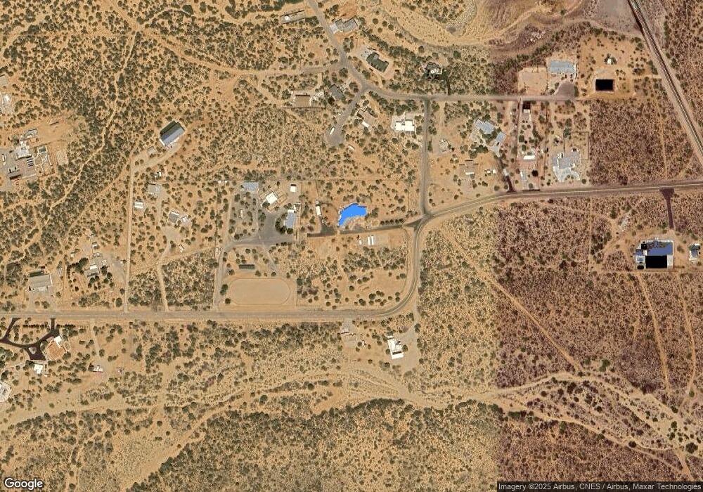
Map
Nearby Homes
- 0000 W Island Dr
- 5930 N Bull Mountain Dr
- TBD Bull Mountain Rd
- 6280 Palo Christo Dr
- 5537 N Storm Cloud Dr
- 1142 E Cactus Valley Dr
- 5537 N Emerald Springs Way
- 6323 N Cottontail Trail
- 000 N Cottontail Trail
- 6336 N Buckhorn Dr
- Lot 001A N Cottontail Trail
- 6295 N Jack Rabbit Dr
- 310-03-092 Cherum Rd
- 0000 Walapai Mining District
- 5432 Roadrunner Ave
- 0000 Calle Noria
- 000 Calle Noria
- Legacy 2374 Plan at Eagle View
- Joshua 1909 Plan at Eagle View
- 400 Camelback Blvd
- 735 W Jordan Ranch Rd
- LOT144 S Shore Dr
- 053 N South Shore Dr
- 769 W Jordan Ranch Rd
- na S Shore Dr
- 0 S Shore Dr
- 801 W Jordan Ranch Rd
- 761 W South Shore Dr
- 000 S Shore Dr
- Southshore Dr S Shore Dr
- 001 S Shore Dr
- 004 S Shore Dr
- 002 S Shore Dr
- 003 S Shore Dr
- 0000 W South Shore Dr
- TBD S Shore Dr
- TBD South Shore
- 747 W South Shore Dr
- 000 W South Shore Dr
- 805 W Jordan Ranch Rd