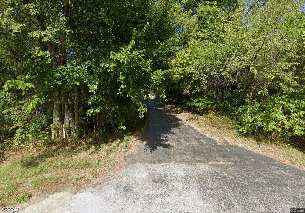
7350 Swanson Rd Roscoe, IL 61073
Estimated Value: $304,478 - $521,000
3
Beds
1
Bath
1,485
Sq Ft
$250/Sq Ft
Est. Value
About This Home
This home is located at 7350 Swanson Rd, Roscoe, IL 61073 and is currently estimated at $371,870, approximately $250 per square foot. 7350 Swanson Rd is a home with nearby schools including Spring Creek Elementary School, Eisenhower Middle School, and Guilford High School.
Ownership History
Date
Name
Owned For
Owner Type
Purchase Details
Closed on
Sep 27, 2019
Sold by
Vance and Viola
Bought by
Cash Anthony and Cash Marteayanna
Current Estimated Value
Home Financials for this Owner
Home Financials are based on the most recent Mortgage that was taken out on this home.
Original Mortgage
$180,000
Outstanding Balance
$157,689
Interest Rate
3.5%
Mortgage Type
New Conventional
Estimated Equity
$214,181
Create a Home Valuation Report for This Property
The Home Valuation Report is an in-depth analysis detailing your home's value as well as a comparison with similar homes in the area
Home Values in the Area
Average Home Value in this Area
Purchase History
| Date | Buyer | Sale Price | Title Company |
|---|---|---|---|
| Cash Anthony | $210,000 | American Law Firm Pc |
Source: Public Records
Mortgage History
| Date | Status | Borrower | Loan Amount |
|---|---|---|---|
| Open | Cash Anthony | $180,000 |
Source: Public Records
Tax History Compared to Growth
Tax History
| Year | Tax Paid | Tax Assessment Tax Assessment Total Assessment is a certain percentage of the fair market value that is determined by local assessors to be the total taxable value of land and additions on the property. | Land | Improvement |
|---|---|---|---|---|
| 2024 | $4,926 | $70,631 | $15,114 | $55,517 |
| 2023 | $4,676 | $62,728 | $13,423 | $49,305 |
| 2022 | $4,602 | $57,213 | $12,243 | $44,970 |
| 2021 | $4,519 | $53,212 | $11,387 | $41,825 |
| 2020 | $4,463 | $50,688 | $10,847 | $39,841 |
| 2019 | $4,412 | $48,552 | $10,390 | $38,162 |
| 2018 | $4,492 | $46,960 | $10,049 | $36,911 |
| 2017 | $4,497 | $45,672 | $9,773 | $35,899 |
| 2016 | $4,452 | $44,764 | $9,579 | $35,185 |
| 2015 | $2,212 | $43,981 | $9,411 | $34,570 |
| 2014 | $2,181 | $43,981 | $9,411 | $34,570 |
Source: Public Records
Map
Nearby Homes
- 8453 Crooked Bend Rd
- 9350 Cherrywood
- 9430 Reserve Dr
- 9248 Longfellow Ln
- 6385 Prairie Flower
- 9137 Kipling Way
- 9885 Highstone Dr
- 3045 Derbyshire Dr
- 6427 Greystone
- 0 Atwood Rd Unit 22063958
- 0 Atwood Rd Unit MRD12204329
- 0 Atwood Rd Unit 202406609
- 3063 Merseyshire Ln
- 10282 Ray Dr
- 3046 Warwickshire Dr
- 10401 Ray Dr
- 3056 Hamlin Dr
- 2005 Westwick Cir
- 10472 Atwood Rd
- 5643 Irving Blvd
- 0 SE Swanson & I-90
- 8886 Folkestone Ct
- 8922 Folkestone Ct
- 9014 Sheringham Dr
- 8922 Folkstone Ct
- 9018 Sheringham Dr
- 9022 Sheringham Dr
- 8889 Folkestone Ct
- 9017 Sheringham Dr
- 9006 Sheringham Dr
- 9028 Sheringham Dr
- 9011 Sheringham Dr
- 9002 Sheringham Dr
- 9029 Sheringham Dr
- 9038 Sheringham Dr
- 7560 Swanson Rd
- 9007 Sheringham Dr
- 9074 Sheringham Dr
- 8998 Sheringham Dr
- 9071 Sheringham Dr
