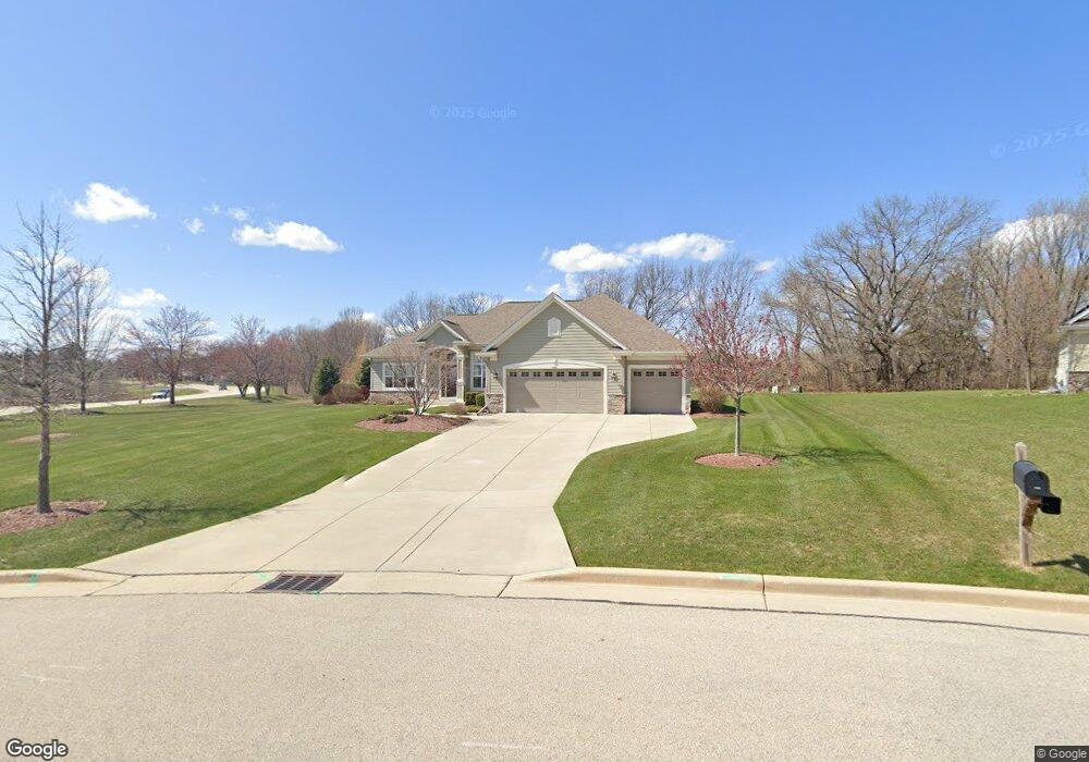
7350 W Avian Ct Franklin, WI 53132
Estimated Value: $726,312 - $774,000
3
Beds
2
Baths
2,111
Sq Ft
$356/Sq Ft
Est. Value
About This Home
This home is located at 7350 W Avian Ct, Franklin, WI 53132 and is currently estimated at $752,328, approximately $356 per square foot. 7350 W Avian Ct is a home with nearby schools including Robinwood Elementary School, Forest Park Middle School, and Franklin High School.
Ownership History
Date
Name
Owned For
Owner Type
Purchase Details
Closed on
Dec 15, 2015
Sold by
Korndoerfer Investments Llc
Bought by
Braunstein George and Braunstein Mary An
Current Estimated Value
Home Financials for this Owner
Home Financials are based on the most recent Mortgage that was taken out on this home.
Original Mortgage
$328,000
Outstanding Balance
$259,478
Interest Rate
3.88%
Mortgage Type
New Conventional
Estimated Equity
$492,850
Purchase Details
Closed on
Jul 1, 2014
Sold by
Avian Estates Llc
Bought by
Korndoerfer Investments Llc
Create a Home Valuation Report for This Property
The Home Valuation Report is an in-depth analysis detailing your home's value as well as a comparison with similar homes in the area
Home Values in the Area
Average Home Value in this Area
Purchase History
| Date | Buyer | Sale Price | Title Company |
|---|---|---|---|
| Braunstein George | $410,000 | Members Title Group Llc | |
| Korndoerfer Investments Llc | $119,900 | Members Title Group Llc |
Source: Public Records
Mortgage History
| Date | Status | Borrower | Loan Amount |
|---|---|---|---|
| Open | Braunstein George | $328,000 |
Source: Public Records
Tax History Compared to Growth
Tax History
| Year | Tax Paid | Tax Assessment Tax Assessment Total Assessment is a certain percentage of the fair market value that is determined by local assessors to be the total taxable value of land and additions on the property. | Land | Improvement |
|---|---|---|---|---|
| 2024 | $5,714 | -- | -- | -- |
| 2023 | $10,081 | $634,200 | $137,000 | $497,200 |
| 2022 | $9,826 | $522,400 | $137,000 | $385,400 |
| 2021 | $10,107 | $495,000 | $128,400 | $366,600 |
| 2020 | $10,451 | $0 | $0 | $0 |
| 2019 | $11,652 | $483,600 | $128,400 | $355,200 |
| 2018 | $10,488 | $0 | $0 | $0 |
| 2017 | $11,016 | $434,400 | $128,400 | $306,000 |
| 2015 | -- | $283,500 | $107,500 | $176,000 |
Source: Public Records
Map
Nearby Homes
- 8629 S Country Club Dr Unit 53
- 8517 S Country Club Dr Unit 41
- 7742 W Lake Pointe Dr
- 8423 S 76th St Unit 8423
- 8102 W Margaret Ln
- 8266 S Country Club Cir
- 8424 S River Terrace Dr
- 8120 W Forest Hill Ave
- 9015 S 84th St
- 7513 W Tuckaway Pines Cir Unit 24
- 7510 W Tuckaway Pines Cir Unit 12
- 8044 W Beacon Hill Dr
- 7967 S 67th St
- 8000 S 68th St
- 8800 W Marshfield Ct
- 7921 S 68th St Unit 208
- 7921 S 68th St Unit 207
- 9152 W Elm Ct Unit B
- 9155 W Elm Ct Unit F
- 9164 W Elm Ct Unit B
- 7316 W Avian Ct
- 7303 W Avian Ct
- 7278 W Avian Ct
- 7280 W Fox Haven Ct
- 7275 W Avian Ct
- 7242 W Avian Ct
- 7244 W Fox Haven Ct
- 7249 W Avian Ct
- 8630 S Country Club Dr
- 8628 S Country Club Dr Unit 51
- 7221 W Avian Ct
- 7214 W Avian Ct
- 8620 S Country Club Dr Unit 50
- 8618 S Country Club Dr
- 7188 W Fox Haven Ct
- 8614 S Country Club Dr Unit 48
- 8608 S Country Club Dr
- 7187 W Avian Ct
- 8604 S Country Club Dr Unit 46
- 8627 S Country Club Dr Unit 54