7351 W Brookhart Way Unit 9 Peoria, AZ 85383
Estimated Value: $430,436 - $562,000
--
Bed
--
Bath
--
Sq Ft
1.6
Acres
About This Home
This home is located at 7351 W Brookhart Way Unit 9, Peoria, AZ 85383 and is currently estimated at $491,359. 7351 W Brookhart Way Unit 9 is a home located in Maricopa County with nearby schools including Copper Creek Elementary School, Hillcrest Middle School, and Mountain Ridge High School.
Ownership History
Date
Name
Owned For
Owner Type
Purchase Details
Closed on
Dec 20, 2005
Sold by
Jacofsky Maryann
Bought by
Jacofsky David J
Current Estimated Value
Home Financials for this Owner
Home Financials are based on the most recent Mortgage that was taken out on this home.
Original Mortgage
$500,000
Interest Rate
6.25%
Mortgage Type
Balloon
Purchase Details
Closed on
Jul 14, 2005
Sold by
Desert Cove Homes Inc
Bought by
Drp Investments Llc
Create a Home Valuation Report for This Property
The Home Valuation Report is an in-depth analysis detailing your home's value as well as a comparison with similar homes in the area
Home Values in the Area
Average Home Value in this Area
Purchase History
| Date | Buyer | Sale Price | Title Company |
|---|---|---|---|
| Jacofsky David J | -- | Grand Canyon Title Agency In | |
| Jacofsky David J | -- | Grand Canyon Title Agency In | |
| Drp Investments Llc | $420,000 | First American Title Ins Co |
Source: Public Records
Mortgage History
| Date | Status | Borrower | Loan Amount |
|---|---|---|---|
| Closed | Jacofsky David J | $500,000 |
Source: Public Records
Tax History Compared to Growth
Tax History
| Year | Tax Paid | Tax Assessment Tax Assessment Total Assessment is a certain percentage of the fair market value that is determined by local assessors to be the total taxable value of land and additions on the property. | Land | Improvement |
|---|---|---|---|---|
| 2025 | $2,344 | $24,373 | $24,373 | -- |
| 2024 | $2,283 | $23,212 | $23,212 | -- |
| 2023 | $2,283 | $41,505 | $41,505 | $0 |
| 2022 | $2,205 | $28,785 | $28,785 | $0 |
| 2021 | $2,273 | $42,120 | $42,120 | $0 |
| 2020 | $2,236 | $40,290 | $40,290 | $0 |
| 2019 | $2,173 | $42,300 | $42,300 | $0 |
| 2018 | $2,105 | $41,835 | $41,835 | $0 |
| 2017 | $2,036 | $37,785 | $37,785 | $0 |
| 2016 | $1,929 | $31,125 | $31,125 | $0 |
| 2015 | $1,893 | $28,992 | $28,992 | $0 |
Source: Public Records
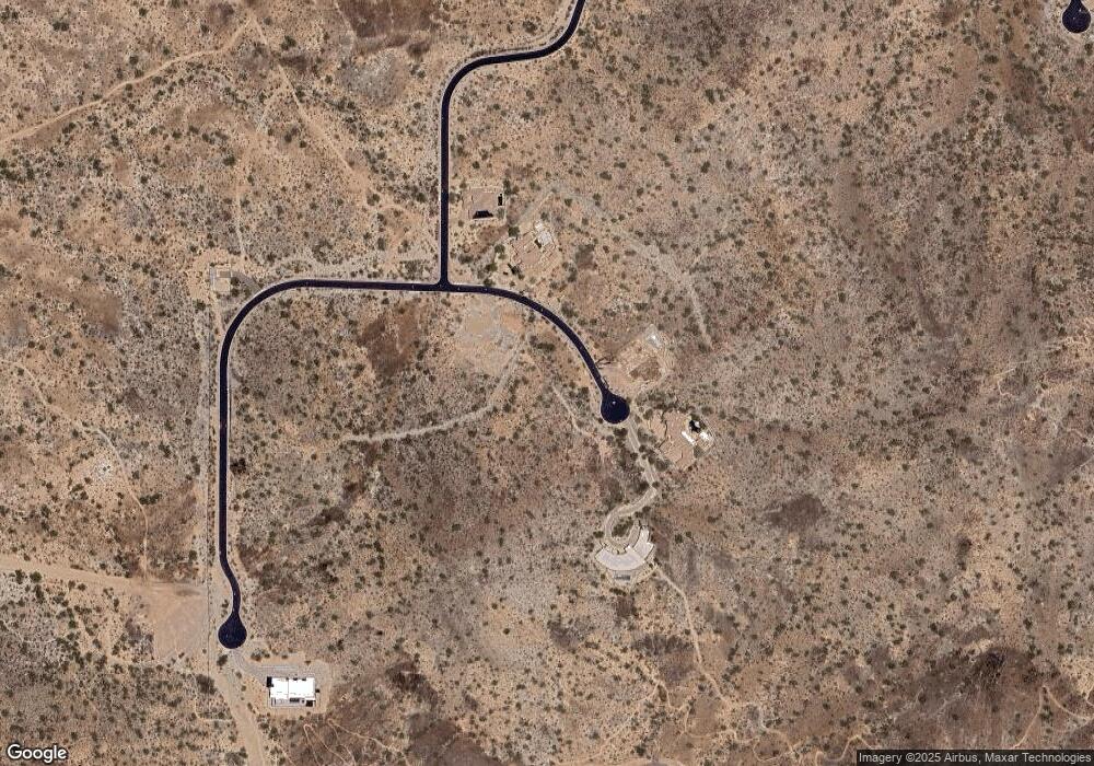
Map
Nearby Homes
- 28894 N Chalfen Blvd Unit 21
- 7400 W Blue Sky Dr
- 28057 N 72nd Ave
- 28025 N 72nd Ave
- 27965 N 72nd Ave
- 29058 N 71st Ave Unit 45
- 7410 W Oberlin Way
- 29067 N 71st Ave
- 28995 N 71st Ave
- 7443 W Oberlin Way
- 7156 W Oberlin Way
- 7419 W Oberlin Way
- 7140 W Oberlin Way
- 7124 W Oberlin Way
- 7392 W Gambit Trail
- 27712 N 74th Ln
- 27693 N 73rd Dr
- 29024 N 70th Ave
- 7384 W Hedge Hog Place
- 7366 W Hedge Hog Place
- 7369 W Brookhart Way Unit 8
- 7333 W Brookhart Way Unit 10
- 7352 W Brookhart Way Unit 15
- 7340 W Brookhart Way Unit 14
- 7364 W Brookhart Way
- 7364 W Brookhart Way
- 7364 W Brookhart Way Unit 16
- 7387 W Brookhart Way Unit 7
- 7328 W Brookhart Way
- 7328 W Brookhart Way Unit 13
- 7376 W Brookhart Way
- 7376 W Brookhart Way Unit 17
- 7315 W Brookhart Way Unit 11
- 7405 W Brookhart Way Unit 6
- 28633 N Chalfen Blvd
- 7316 W Brookhart Way Unit 12
- 7316 W Brookhart Way
- 7423 W Brookhart Way Unit 5
- 28761 N Chalfen Blvd
- 28761 N Chalfen Blvd Unit 20