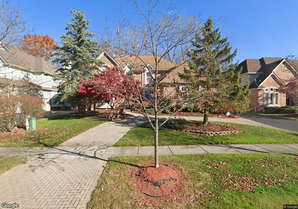
7353 Rafford Ln West Bloomfield, MI 48322
Estimated Value: $669,549 - $812,000
4
Beds
4
Baths
3,624
Sq Ft
$205/Sq Ft
Est. Value
About This Home
This home is located at 7353 Rafford Ln, West Bloomfield, MI 48322 and is currently estimated at $743,137, approximately $205 per square foot. 7353 Rafford Ln is a home located in Oakland County with nearby schools including Walled Lake Central High School, Maria Montessori Center, and Novi Christian Academy.
Ownership History
Date
Name
Owned For
Owner Type
Purchase Details
Closed on
Jun 29, 2016
Sold by
Mathew Thomas and Mathew Daisy
Bought by
Mathew Thomas and Mathew Daisy
Current Estimated Value
Purchase Details
Closed on
Jun 20, 1997
Sold by
Ivanhoe Huntley Chelsear
Bought by
Mathew Thomas
Home Financials for this Owner
Home Financials are based on the most recent Mortgage that was taken out on this home.
Original Mortgage
$250,000
Outstanding Balance
$35,867
Interest Rate
8.01%
Estimated Equity
$707,270
Create a Home Valuation Report for This Property
The Home Valuation Report is an in-depth analysis detailing your home's value as well as a comparison with similar homes in the area
Home Values in the Area
Average Home Value in this Area
Purchase History
| Date | Buyer | Sale Price | Title Company |
|---|---|---|---|
| Mathew Thomas | -- | None Available | |
| Mathew Thomas | -- | -- |
Source: Public Records
Mortgage History
| Date | Status | Borrower | Loan Amount |
|---|---|---|---|
| Open | Mathew Thomas | $250,000 |
Source: Public Records
Tax History Compared to Growth
Tax History
| Year | Tax Paid | Tax Assessment Tax Assessment Total Assessment is a certain percentage of the fair market value that is determined by local assessors to be the total taxable value of land and additions on the property. | Land | Improvement |
|---|---|---|---|---|
| 2024 | $4,600 | $320,360 | $0 | $0 |
| 2022 | $4,337 | $262,410 | $28,000 | $234,410 |
| 2021 | $7,163 | $239,890 | $0 | $0 |
| 2020 | $4,286 | $250,220 | $28,000 | $222,220 |
| 2018 | $7,005 | $234,350 | $28,000 | $206,350 |
| 2015 | -- | $211,880 | $0 | $0 |
| 2014 | -- | $196,440 | $0 | $0 |
| 2011 | -- | $175,030 | $0 | $0 |
Source: Public Records
Map
Nearby Homes
- 7418 Rafford Ln
- 6601 Pembridge Hill
- 6621 Glenshaw Ct
- 7329 Camelot Dr
- 31142 Applewood Ln
- 6775 Carlyle Crossing
- 7276 Somerby
- 7288 Danbrooke Unit 125
- 7156 Sturnbridge Unit 90
- 7156 Sturnbridge
- 6540 Ridgefield Cir Unit 204
- 6642 Carlyle Ct
- 6715 Maple Lakes Dr Unit 70
- 6693 Maple Lakes Dr Unit 62
- 6677 Maple Lakes Dr
- 7296 Green Farm Rd Unit 133
- 6517 Chelsea Bridge
- 31037 N Park Dr
- 6986 Crosswell Dr
- 35565 Cross Creek N
- 7339 Rafford Ln
- 7367 Rafford Ln
- 7381 Rafford Ln
- 7325 Rafford Ln
- 7348 Rafford Ln
- 7362 Rafford Ln
- 7334 Rafford Ln
- 7376 Rafford Ln
- 7395 Rafford Ln
- 7313 Rafford Ln
- 7320 Rafford Ln
- 7390 Rafford Ln
- 6525 Roseberry Cir
- 7409 Rafford Ln
- 6544 Claremore Ct
- 7404 Rafford Ln
- 7306 Colchester Ln
- 6558 Claremore Ct
- 6553 Claremore Ct
- 7415 Rafford Ln