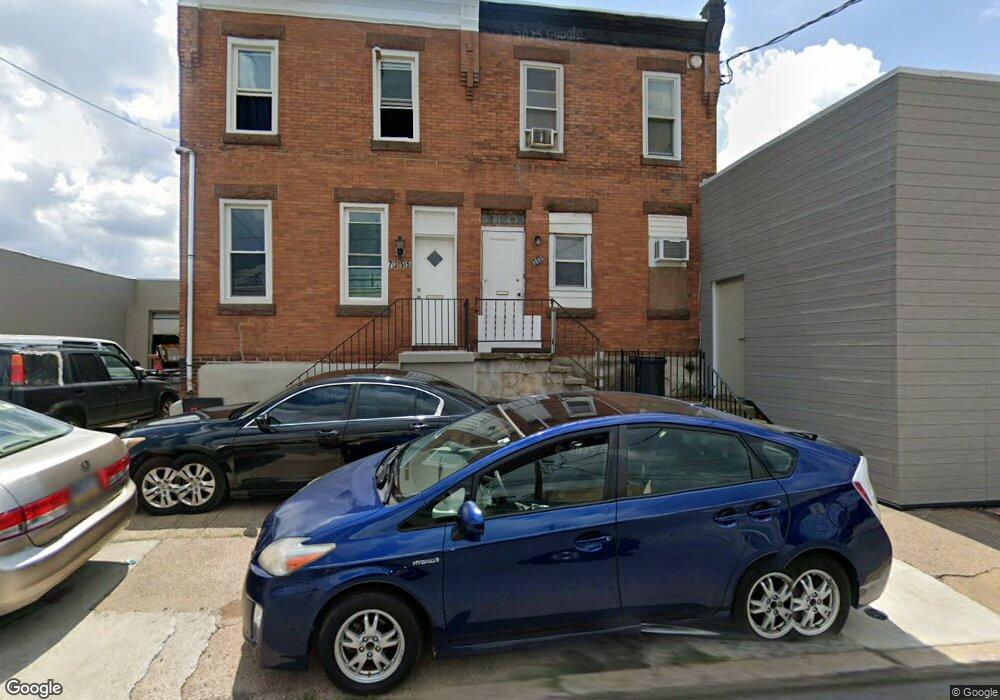
7353 State Rd Philadelphia, PA 19136
Holmesburg NeighborhoodEstimated Value: $265,480
--
Bed
--
Bath
3,225
Sq Ft
$82/Sq Ft
Est. Value
About This Home
This home is located at 7353 State Rd, Philadelphia, PA 19136 and is currently estimated at $265,480, approximately $82 per square foot. 7353 State Rd is a home located in Philadelphia County with nearby schools including Edwin Forrest Elementary School, Lincoln High School, and Meehan Austin Middle School.
Ownership History
Date
Name
Owned For
Owner Type
Purchase Details
Closed on
Feb 27, 2022
Sold by
Unknown
Bought by
Martin Coyle Properties Llc
Current Estimated Value
Home Financials for this Owner
Home Financials are based on the most recent Mortgage that was taken out on this home.
Original Mortgage
$200,000
Outstanding Balance
$186,801
Interest Rate
3.89%
Mortgage Type
New Conventional
Estimated Equity
$78,679
Purchase Details
Closed on
May 15, 1978
Bought by
M O R Saw Service
Create a Home Valuation Report for This Property
The Home Valuation Report is an in-depth analysis detailing your home's value as well as a comparison with similar homes in the area
Home Values in the Area
Average Home Value in this Area
Purchase History
| Date | Buyer | Sale Price | Title Company |
|---|---|---|---|
| Martin Coyle Properties Llc | $250,000 | None Listed On Document | |
| M O R Saw Service | $52,000 | -- |
Source: Public Records
Mortgage History
| Date | Status | Borrower | Loan Amount |
|---|---|---|---|
| Open | Martin Coyle Properties Llc | $200,000 |
Source: Public Records
Tax History Compared to Growth
Tax History
| Year | Tax Paid | Tax Assessment Tax Assessment Total Assessment is a certain percentage of the fair market value that is determined by local assessors to be the total taxable value of land and additions on the property. | Land | Improvement |
|---|---|---|---|---|
| 2025 | $2,347 | $241,100 | $72,330 | $168,770 |
| 2024 | $2,347 | $241,100 | $72,330 | $168,770 |
| 2023 | $2,347 | $167,700 | $33,540 | $134,160 |
| 2022 | $2,235 | $167,700 | $33,540 | $134,160 |
| 2021 | $2,235 | $0 | $0 | $0 |
| 2020 | $2,235 | $0 | $0 | $0 |
| 2019 | $2,221 | $0 | $0 | $0 |
| 2018 | $2,157 | $0 | $0 | $0 |
| 2017 | $1,503 | $0 | $0 | $0 |
| 2016 | $1,503 | $0 | $0 | $0 |
| 2015 | $1,439 | $0 | $0 | $0 |
| 2014 | -- | $107,400 | $8,900 | $98,500 |
| 2012 | -- | $30,912 | $4,538 | $26,374 |
Source: Public Records
Map
Nearby Homes
- 7108 James St
- 4767 Loring St
- 7146 Tulip St
- 4764 Shelmire Ave
- 4745 Loring St
- 4766 Oakmont St
- 4764 Oakmont St
- 4762 Oakmont St
- 4742 Shelmire Ave
- 4928 Princeton Ave
- 7415 Torresdale Ave
- 4743 Oakmont St
- 4737 Oakmont St
- 4715 Shelmire Ave
- 7418 Torresdale Ave
- 7420 Torresdale Ave
- 7505 Torresdale Ave
- 7507 Torresdale Ave
- 7233 Marsden St Unit 1
- 4735 Princeton Ave
- 7347 Melrose St
- 7368 State Rd
- 7340 State Rd
- 7367-75 State Rd
- 7327 State Rd
- 7379 Melrose St
- 7319 State Rd
- 5025 Cottman Ave
- 7336 James St
- 7315 State Rd
- 7340 James St
- 7309 State Rd
- 7300 State Rd
- 4929 Cottman Ave
- 5022 Cottman Ave
- 5020 Cottman Ave
- 7357 Keystone St
- 7301 Keystone St
- 7208 State Rd
- 7207 State Rd