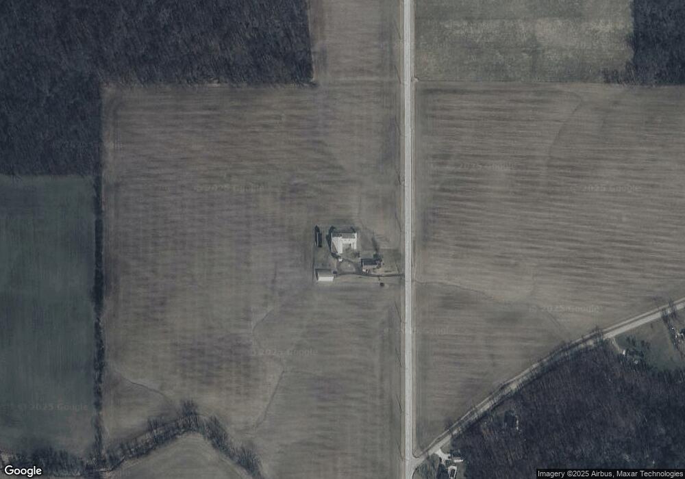
7355 State Route 191 Stryker, OH 43557
Estimated Value: $174,000 - $237,605
3
Beds
2
Baths
1,641
Sq Ft
$127/Sq Ft
Est. Value
About This Home
This home is located at 7355 State Route 191, Stryker, OH 43557 and is currently estimated at $208,901, approximately $127 per square foot. 7355 State Route 191 is a home located in Williams County with nearby schools including Stryker Elementary School and Stryker High School.
Ownership History
Date
Name
Owned For
Owner Type
Purchase Details
Closed on
Jun 29, 2019
Sold by
Vauthy Peter Alain
Bought by
Gr8fulchef Llc
Current Estimated Value
Purchase Details
Closed on
Nov 25, 2009
Sold by
Nofziger Marvin D and Nofziger Mary Ellen
Bought by
Babcock Albert A and Babcock Sandra K
Purchase Details
Closed on
May 4, 2009
Sold by
Nofziger Marvin D and Nofziger Mary Ellen
Bought by
Short Keith A and Short Tammy M
Purchase Details
Closed on
Jan 1, 1990
Bought by
Nofziger Marvin D
Create a Home Valuation Report for This Property
The Home Valuation Report is an in-depth analysis detailing your home's value as well as a comparison with similar homes in the area
Purchase History
| Date | Buyer | Sale Price | Title Company |
|---|---|---|---|
| Gr8fulchef Llc | -- | Preservation Title Ltd | |
| Babcock Albert A | $91,000 | None Available | |
| Short Keith A | $30,000 | None Available | |
| Nofziger Marvin D | -- | -- |
Source: Public Records
Tax History
| Year | Tax Paid | Tax Assessment Tax Assessment Total Assessment is a certain percentage of the fair market value that is determined by local assessors to be the total taxable value of land and additions on the property. | Land | Improvement |
|---|---|---|---|---|
| 2025 | $2,477 | $62,160 | $16,730 | $45,430 |
| 2024 | $2,477 | $62,160 | $16,730 | $45,430 |
| 2023 | $2,504 | $50,090 | $14,770 | $35,320 |
| 2022 | $2,241 | $50,090 | $14,770 | $35,320 |
| 2021 | $2,240 | $50,090 | $14,770 | $35,320 |
| 2020 | $1,993 | $41,900 | $12,460 | $29,440 |
| 2019 | $1,966 | $41,900 | $12,460 | $29,440 |
| 2018 | $1,874 | $41,900 | $12,460 | $29,440 |
| 2017 | $1,843 | $39,550 | $10,640 | $28,910 |
| 2016 | $1,781 | $39,550 | $10,640 | $28,910 |
| 2015 | $1,717 | $39,550 | $10,640 | $28,910 |
| 2014 | $1,717 | $35,950 | $9,660 | $26,290 |
| 2013 | $1,729 | $35,950 | $9,660 | $26,290 |
Source: Public Records
Map
Nearby Homes
- 20095 County Road H50
- 301 Horton St
- 303 E Curtis St
- 200 Tyler Ln
- 302 Tyler Ln
- 9019 19-50 Rd
- 8437 18 Rd
- 17738 County Rd E
- 210 Lakeview Dr
- 107 Shaffer Blvd
- 110 Shaffer Blvd
- 16299 County Road F75
- 8520 County Road 16
- 8520 Williams County Road 16
- 000 W Jackson
- 611 W Jackson St
- 613 W Jackson St
- 902 E Church St
- 502 N Lincoln St
- 22227 Us Highway 20a
- 7355 State Route 191
- 20526 County Road G40
- 20756 County Road G40
- 7094 State Route 191
- 7753 State Route 191
- 20277 Williams County G
- 20388 County Road G
- 20166 County Road G
- 20882 County Road H
- 19988 County Road G
- 21045 County Road G40
- 20379 County Road H
- 19891 County Road G
- 19872 County Road G
- 8151 State Route 191
- 20972 County Road H
- 20071 County Road H
- 0 County Road H Unit 5018343
- 1 D Co Rd 21
- 1 F Co Rd 21
Your Personal Tour Guide
Ask me questions while you tour the home.