7355 Woodview St Unit 1 Westland, MI 48185
Estimated Value: $99,000 - $109,303
2
Beds
1
Bath
972
Sq Ft
$106/Sq Ft
Est. Value
About This Home
This home is located at 7355 Woodview St Unit 1, Westland, MI 48185 and is currently estimated at $102,576, approximately $105 per square foot. 7355 Woodview St Unit 1 is a home located in Wayne County with nearby schools including Johnson Upper Elementary School, Garfield Elementary School, and Frost Middle School.
Ownership History
Date
Name
Owned For
Owner Type
Purchase Details
Closed on
Jun 27, 2025
Sold by
Mullins Cheryl
Bought by
Muco Armand
Current Estimated Value
Purchase Details
Closed on
Sep 14, 2019
Sold by
Mullins Cheryl M
Bought by
Mullins Jessica
Purchase Details
Closed on
May 31, 2007
Sold by
Rodgers Claris J and Rodgers James F
Bought by
James F Rodgers and James Claris J Rodgers Rlt
Create a Home Valuation Report for This Property
The Home Valuation Report is an in-depth analysis detailing your home's value as well as a comparison with similar homes in the area
Home Values in the Area
Average Home Value in this Area
Purchase History
| Date | Buyer | Sale Price | Title Company |
|---|---|---|---|
| Muco Armand | $100,000 | None Listed On Document | |
| Muco Armand | $100,000 | None Listed On Document | |
| Mullins Jessica | -- | None Available | |
| Mullins Cheryl M | -- | None Available | |
| James F Rodgers | -- | None Available |
Source: Public Records
Tax History Compared to Growth
Tax History
| Year | Tax Paid | Tax Assessment Tax Assessment Total Assessment is a certain percentage of the fair market value that is determined by local assessors to be the total taxable value of land and additions on the property. | Land | Improvement |
|---|---|---|---|---|
| 2025 | $1,716 | $55,100 | $0 | $0 |
| 2024 | $1,716 | $51,200 | $0 | $0 |
| 2023 | $1,637 | $39,200 | $0 | $0 |
| 2022 | $2,077 | $34,600 | $0 | $0 |
| 2021 | $2,021 | $30,600 | $0 | $0 |
| 2020 | $1,998 | $29,700 | $0 | $0 |
| 2019 | $825 | $26,100 | $0 | $0 |
| 2018 | $597 | $21,300 | $0 | $0 |
| 2017 | $406 | $21,500 | $0 | $0 |
| 2016 | $571 | $21,700 | $0 | $0 |
| 2015 | $1,183 | $17,680 | $0 | $0 |
| 2013 | $1,146 | $11,960 | $0 | $0 |
| 2012 | $673 | $13,030 | $0 | $0 |
Source: Public Records
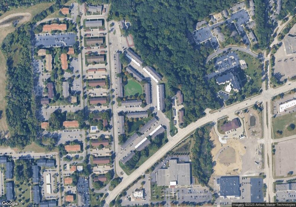
Map
Nearby Homes
- 7330 Woodview St Unit 2
- 7370 Woodview St Unit 3
- 7615 Woodview St Unit 3
- 7630 Woodview St Unit 2
- 7970 Russell Dr
- 7908 Everett Dr
- Lot 35 Ravine Dr
- 35863 Hunter Ave Unit 34
- 8228 Quincy Dr
- 6546 Quail Run Cir
- 35737 Hunter Ave
- 6541 Pembrook Dr
- 35754 Castlewood Ct
- 35601 Pheasant Ln
- 37186 Amhurst Dr Unit 5
- 37674 Colonial Dr S
- 6145 N Dowling St
- 0 N Wayne Rd
- 7051 Wayne Rd
- 37742 Colonial Dr
- 7355 Woodview St Unit 5, 4
- 7355 Woodview St Unit 60, 2
- 7355 Woodview St Unit 3
- 7355 Woodview St Unit 2
- 7355 Woodview St Unit 4
- 7355 Woodview St Unit 7355 woodview dr app
- 7355 Woodview St
- 7355 Woodview St
- 7355 Woodview St
- 7355 Woodview St Unit 61
- 7345 Woodview St Unit 57
- 7345 Woodview St Unit 5 3
- 7345 Woodview St Unit 1
- 7345 Woodview St Unit 3
- 7345 Woodview St Unit 4
- 7345 Woodview St Unit 2
- 7345 Woodview St Unit 5, 57
- 7345 Woodview St
- 7335 Woodview St Unit 4
- 7335 Woodview St Unit 3