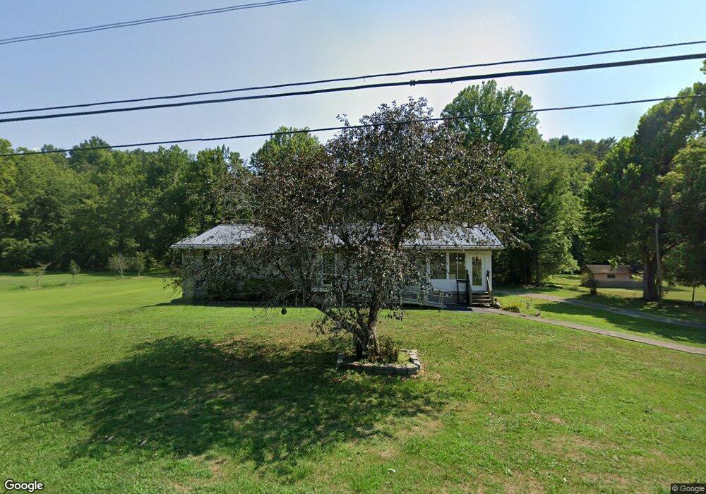
7356 State Route 217 Scottown, OH 45678
Estimated Value: $178,000 - $421,000
3
Beds
2
Baths
1,296
Sq Ft
$193/Sq Ft
Est. Value
About This Home
This home is located at 7356 State Route 217, Scottown, OH 45678 and is currently estimated at $250,584, approximately $193 per square foot. 7356 State Route 217 is a home located in Lawrence County with nearby schools including Symmes Valley Elementary School and Symmes Valley High School.
Ownership History
Date
Name
Owned For
Owner Type
Purchase Details
Closed on
Apr 11, 2005
Sold by
Dornon Wayne and Dornon Mary Phyllis
Bought by
Stevenson Henry and Stevenson Darlene
Current Estimated Value
Home Financials for this Owner
Home Financials are based on the most recent Mortgage that was taken out on this home.
Original Mortgage
$111,264
Interest Rate
5.89%
Mortgage Type
Purchase Money Mortgage
Create a Home Valuation Report for This Property
The Home Valuation Report is an in-depth analysis detailing your home's value as well as a comparison with similar homes in the area
Home Values in the Area
Average Home Value in this Area
Purchase History
| Date | Buyer | Sale Price | Title Company |
|---|---|---|---|
| Stevenson Henry | $165,000 | None Available |
Source: Public Records
Mortgage History
| Date | Status | Borrower | Loan Amount |
|---|---|---|---|
| Previous Owner | Stevenson Henry | $111,264 |
Source: Public Records
Tax History Compared to Growth
Tax History
| Year | Tax Paid | Tax Assessment Tax Assessment Total Assessment is a certain percentage of the fair market value that is determined by local assessors to be the total taxable value of land and additions on the property. | Land | Improvement |
|---|---|---|---|---|
| 2024 | -- | $39,750 | $9,160 | $30,590 |
| 2023 | $782 | $39,750 | $9,160 | $30,590 |
| 2022 | $792 | $39,750 | $9,160 | $30,590 |
| 2021 | $740 | $36,040 | $7,360 | $28,680 |
| 2020 | $755 | $36,040 | $7,360 | $28,680 |
| 2019 | $848 | $36,040 | $7,360 | $28,680 |
| 2018 | $763 | $33,310 | $7,500 | $25,810 |
| 2017 | $764 | $33,310 | $7,500 | $25,810 |
| 2016 | $708 | $33,310 | $7,500 | $25,810 |
| 2015 | $656 | $31,220 | $7,480 | $23,740 |
| 2014 | $655 | $31,220 | $7,480 | $23,740 |
| 2013 | $655 | $31,220 | $7,480 | $23,740 |
Source: Public Records
Map
Nearby Homes
- 181 Private Road 3954
- 4754 County Road 36
- 0 Ohio 378
- 810 Township Road 141
- 1334 Township Road 214th N
- 1334 McKinney Creek-Hesson Hollow Rd N
- 0 Venisonham-Camp Branch Rd Unit Tract 2
- 0 Venisonham-Camp Branch Rd Unit Tract 1
- 0 Venisonham-Camp Branch Rd
- 0 Venisonham-Camp Branch Rd Unit 25766693
- 0 Venisonham-Camp Branch Rd Unit 3
- 266 Twp Rd 209
- 00 Ohio 217
- 0 Ohio 217
- 168 Township Road 122 W
- 479 Township Road 122
- 11904 State Route 217
- 66 County Road 30
- State Route 790
- 0 Dillon Ridge Unit 23651508
- 7312 Ohio 217
- 7312 State Route 217
- 7345 State Route 217
- 7444 State Route 217
- 7453 State Route 217
- 7479 State Route 217
- 7513 State Route 217
- 7504 State Route 217
- 7159 State Route 217
- 7598 State Route 217
- 1243 Private Road 3952
- 7114 State Route 217
- 7105 State Route 217
- 1295 Private Road 3952 Unit 378
- 3950 Pvt Rd
- 7698 State Route 217
- 7730 State Route 217
- 1392 Private Road 3952
- 0 County Road 64 Unit LAO-2
- 0 County Road 64 Unit 11284375