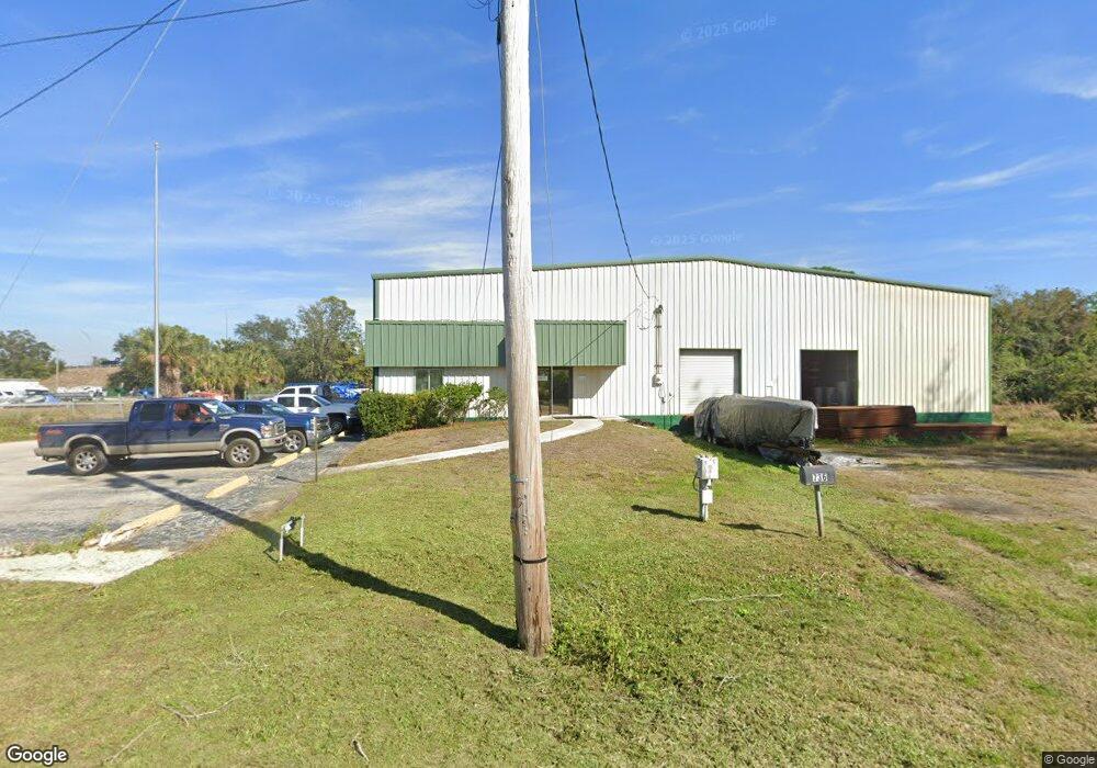
736 1st St SW Ruskin, FL 33570
Estimated Value: $1,437,790
--
Bed
--
Bath
13,856
Sq Ft
$104/Sq Ft
Est. Value
About This Home
This home is located at 736 1st St SW, Ruskin, FL 33570 and is currently estimated at $1,437,790, approximately $103 per square foot. 736 1st St SW is a home located in Hillsborough County with nearby schools including Ruskin Elementary School, Shields Middle School, and Lennard High School.
Ownership History
Date
Name
Owned For
Owner Type
Purchase Details
Closed on
Aug 2, 2024
Sold by
Prs Florida Llc
Bought by
Prsg Florida Llc
Current Estimated Value
Purchase Details
Closed on
May 27, 2016
Sold by
Wiles David B
Bought by
Prs Florida Llc
Home Financials for this Owner
Home Financials are based on the most recent Mortgage that was taken out on this home.
Original Mortgage
$650,000
Interest Rate
3.66%
Mortgage Type
Purchase Money Mortgage
Create a Home Valuation Report for This Property
The Home Valuation Report is an in-depth analysis detailing your home's value as well as a comparison with similar homes in the area
Home Values in the Area
Average Home Value in this Area
Purchase History
| Date | Buyer | Sale Price | Title Company |
|---|---|---|---|
| Prsg Florida Llc | $650,000 | None Listed On Document | |
| Prs Florida Llc | $700,000 | South Bay Title Insurance Ag |
Source: Public Records
Mortgage History
| Date | Status | Borrower | Loan Amount |
|---|---|---|---|
| Previous Owner | Prs Florida Llc | $650,000 |
Source: Public Records
Tax History Compared to Growth
Tax History
| Year | Tax Paid | Tax Assessment Tax Assessment Total Assessment is a certain percentage of the fair market value that is determined by local assessors to be the total taxable value of land and additions on the property. | Land | Improvement |
|---|---|---|---|---|
| 2024 | $13,613 | $868,300 | $258,262 | $610,038 |
| 2023 | $12,161 | $736,500 | $234,784 | $501,716 |
| 2022 | $10,835 | $629,600 | $202,768 | $426,832 |
| 2021 | $9,965 | $537,643 | $160,080 | $377,563 |
| 2020 | $10,073 | $539,545 | $140,870 | $398,675 |
| 2019 | $9,971 | $528,537 | $140,870 | $387,667 |
| 2018 | $9,670 | $497,897 | $0 | $0 |
| 2017 | $11,266 | $580,723 | $0 | $0 |
| 2016 | $9,553 | $426,910 | $0 | $0 |
| 2015 | $7,932 | $388,100 | $0 | $0 |
| 2014 | $7,132 | $357,500 | $0 | $0 |
| 2013 | -- | $357,500 | $0 | $0 |
Source: Public Records
Map
Nearby Homes
- 0 12th St SE
- 1142 12th St SE
- 0 Us Highway 41 S Unit U8081156
- 406 2nd St SW
- 209 6th Ave SW
- 233 W College Ave
- 310 4th Ave SW
- 314 Dickman Dr SW
- 404 Dickman Dr SW
- 622 Sundrop Cir
- 611 Sundrop Cir
- 609 4th Ave SW
- 2017 U S 41 Unit 3
- 1601 1st St SE
- 604 8th St SW
- 606 Dickman Dr SW
- 901 8th St SW
- 506 3rd Ave SE
- 402 8th St SW
- 601 8th Ct SE
- 1002 1st St SW
- 1000 1st St SW
- 924 SW 1st St SW
- 1009 1st St SW
- 1006 1st St SW
- 1008 1st St SW
- 103 11th Ave SW
- 1102 1st St SW
- 102 11th Ave SW
- 1102 1st St SW
- 1104 1st St SW
- 250 14th Ave SE
- 1101 1st St SW
- 1101 1st St SW
- College Ave W
- 1108 1st St SW
- 515 Howard Gray Dr
- 515 Howard Gray Dr Unit A
- 515 Howard Gray Dr
- 11th Ave SE