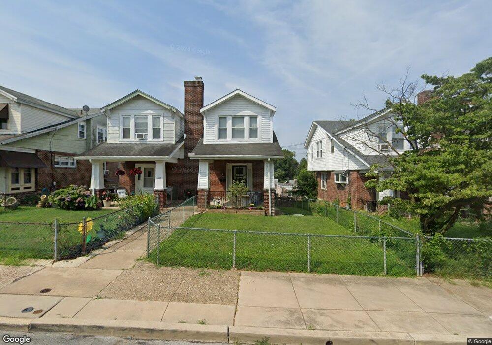
736 Bullock Ave Lansdowne, PA 19050
Estimated Value: $199,000 - $251,000
3
Beds
1
Bath
1,346
Sq Ft
$167/Sq Ft
Est. Value
About This Home
This home is located at 736 Bullock Ave, Lansdowne, PA 19050 and is currently estimated at $225,250, approximately $167 per square foot. 736 Bullock Ave is a home located in Delaware County with nearby schools including Evans Elementary School, Penn Wood Middle School, and Penn Wood High School - Cypress Street Campus.
Ownership History
Date
Name
Owned For
Owner Type
Purchase Details
Closed on
Nov 20, 2023
Sold by
Green Eileen V
Bought by
Green Eileen V and Randolph Robin P
Current Estimated Value
Purchase Details
Closed on
Sep 12, 1986
Sold by
Massa Michael and Massa Josephine
Bought by
Green Eileen and Allen Marguerite
Create a Home Valuation Report for This Property
The Home Valuation Report is an in-depth analysis detailing your home's value as well as a comparison with similar homes in the area
Home Values in the Area
Average Home Value in this Area
Purchase History
| Date | Buyer | Sale Price | Title Company |
|---|---|---|---|
| Green Eileen V | -- | None Listed On Document | |
| Green Eileen | $51,900 | -- |
Source: Public Records
Tax History Compared to Growth
Tax History
| Year | Tax Paid | Tax Assessment Tax Assessment Total Assessment is a certain percentage of the fair market value that is determined by local assessors to be the total taxable value of land and additions on the property. | Land | Improvement |
|---|---|---|---|---|
| 2025 | $4,503 | $105,450 | $32,570 | $72,880 |
| 2024 | $4,503 | $105,450 | $32,570 | $72,880 |
| 2023 | $4,089 | $105,450 | $32,570 | $72,880 |
| 2022 | $3,899 | $105,450 | $32,570 | $72,880 |
| 2021 | $5,897 | $105,450 | $32,570 | $72,880 |
| 2020 | $3,966 | $63,510 | $18,790 | $44,720 |
| 2019 | $3,896 | $63,510 | $18,790 | $44,720 |
| 2018 | $3,842 | $63,510 | $0 | $0 |
| 2017 | $3,762 | $63,510 | $0 | $0 |
| 2016 | $356 | $63,510 | $0 | $0 |
| 2015 | $349 | $63,510 | $0 | $0 |
| 2014 | $349 | $63,510 | $0 | $0 |
Source: Public Records
Map
Nearby Homes
- 740 Church Ln
- 722 Yeadon Ave
- 711 Yeadon Ave Unit 1
- 800 Bullock Ave
- 702 Cedar Ave
- 808 Serrill Ave
- 825 Laurel Rd
- 813 Arbor Rd
- 908 Yeadon Ave
- 921 Serrill Ave
- 939 Serrill Ave
- 923 Bell Ave
- 1016 Whitby Ave
- 530 Orchard Ave
- 536 Cypress St
- 503 Bonsall Ave
- 1049 Yeadon Ave
- 435 Bonsall Ave
- 407 Church Ln
- 6535 Windsor St
- 734 Bullock Ave
- 738 Bullock Ave
- 740 Bullock Ave
- 732 Bullock Ave
- 742 Bullock Ave
- 730 Bullock Ave
- 735 Yeadon Ave
- 744 Bullock Ave
- 728 Bullock Ave
- 733 Yeadon Ave
- 737 Yeadon Ave
- 731 Yeadon Ave
- 739 Yeadon Ave
- 746 Bullock Ave
- 741 Yeadon Ave
- 726 Bullock Ave
- 727 Yeadon Ave
- 743 Yeadon Ave
- 724 Bullock Ave
- 748 Bullock Ave