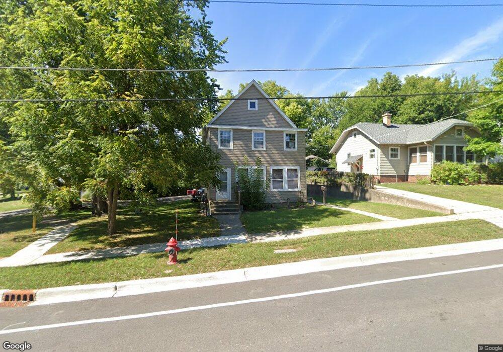
736 Dean St Woodstock, IL 60098
Estimated Value: $202,000 - $250,000
4
Beds
2
Baths
1,408
Sq Ft
$166/Sq Ft
Est. Value
About This Home
This home is located at 736 Dean St, Woodstock, IL 60098 and is currently estimated at $233,812, approximately $166 per square foot. 736 Dean St is a home located in McHenry County with nearby schools including Dean Street Elementary School, Creekside Middle School, and Woodstock High School.
Ownership History
Date
Name
Owned For
Owner Type
Purchase Details
Closed on
Aug 6, 1999
Sold by
Flores Humberto and Flores Estela F
Bought by
Zepeda Antonio
Current Estimated Value
Home Financials for this Owner
Home Financials are based on the most recent Mortgage that was taken out on this home.
Original Mortgage
$85,600
Outstanding Balance
$24,829
Interest Rate
7.77%
Estimated Equity
$208,983
Create a Home Valuation Report for This Property
The Home Valuation Report is an in-depth analysis detailing your home's value as well as a comparison with similar homes in the area
Home Values in the Area
Average Home Value in this Area
Purchase History
| Date | Buyer | Sale Price | Title Company |
|---|---|---|---|
| Zepeda Antonio | $107,000 | Lawyers Title Pick Up |
Source: Public Records
Mortgage History
| Date | Status | Borrower | Loan Amount |
|---|---|---|---|
| Open | Zepeda Antonio | $85,600 |
Source: Public Records
Tax History Compared to Growth
Tax History
| Year | Tax Paid | Tax Assessment Tax Assessment Total Assessment is a certain percentage of the fair market value that is determined by local assessors to be the total taxable value of land and additions on the property. | Land | Improvement |
|---|---|---|---|---|
| 2024 | $4,417 | $47,942 | $8,630 | $39,312 |
| 2023 | $4,241 | $43,355 | $7,804 | $35,551 |
| 2022 | $3,205 | $31,088 | $6,926 | $24,162 |
| 2021 | $3,065 | $29,046 | $6,471 | $22,575 |
| 2020 | $2,965 | $27,600 | $6,149 | $21,451 |
| 2019 | $2,890 | $26,346 | $5,870 | $20,476 |
| 2018 | $3,646 | $32,714 | $6,695 | $26,019 |
| 2017 | $3,601 | $30,789 | $6,301 | $24,488 |
| 2016 | $3,598 | $28,508 | $5,834 | $22,674 |
| 2013 | -- | $29,611 | $5,956 | $23,655 |
Source: Public Records
Map
Nearby Homes
- 104 Stewart Ave
- 125 Forest Ave
- 421 W Kimball Ave
- 908 Bunker St
- 331 Chestnut St
- 415 Dean St
- 155 Lee Ann Ln
- 330 Lake Ave
- 301 Clover Chase Cir Unit 5
- 3824 Riverwoods Dr
- 3902 Riverwoods Dr
- 1249 Prairie Ridge Trail
- 4022 Meadowridge Rd
- 3857 Riverwoods Dr
- 3917 Riverwoods Dr
- 3905 Riverwoods Dr
- 3839 Riverwoods Dr
- 3845 Riverwoods Dr
- 1288 Prairie Ridge Trail
- 1253 Prairie Ridge Trail