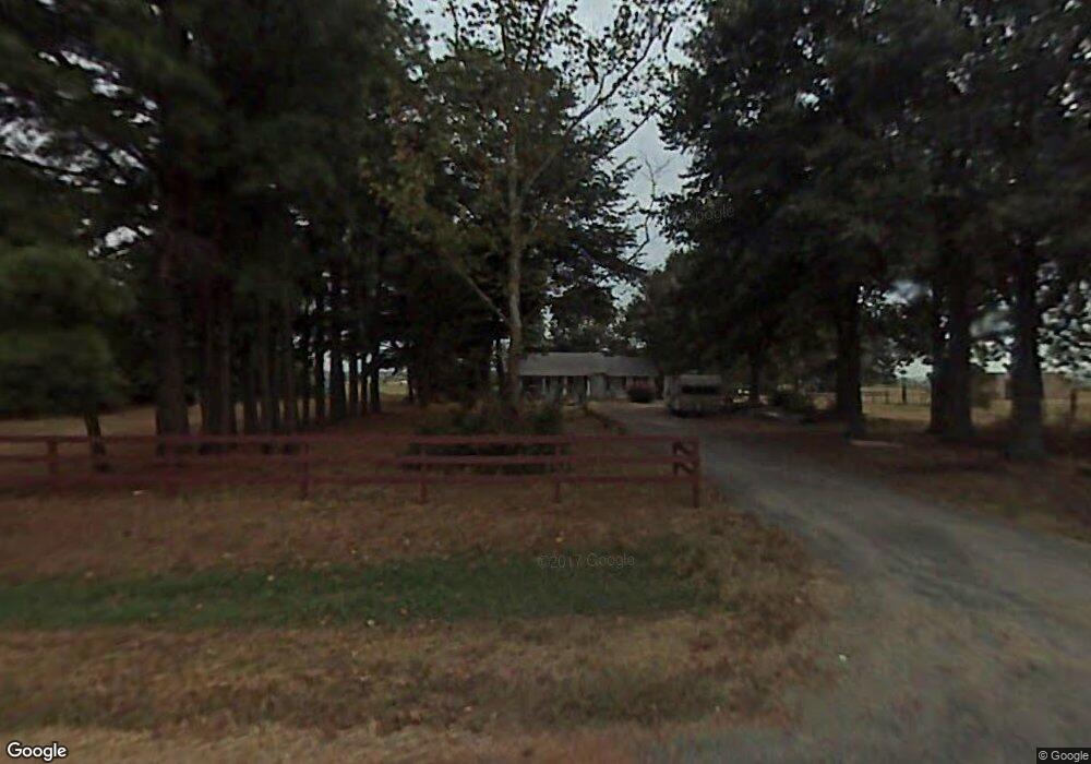
736 Furlow Loop Lonoke, AR 72086
Estimated Value: $178,000 - $237,000
--
Bed
1
Bath
1,722
Sq Ft
$121/Sq Ft
Est. Value
About This Home
This home is located at 736 Furlow Loop, Lonoke, AR 72086 and is currently estimated at $207,935, approximately $120 per square foot. 736 Furlow Loop is a home located in Lonoke County with nearby schools including Lonoke Primary School, Lonoke Elementary School, and Lonoke Middle School.
Ownership History
Date
Name
Owned For
Owner Type
Purchase Details
Closed on
Jan 10, 2017
Sold by
Weatherford Neawassa J and Wood Neawassa J
Bought by
Evans Family Limited Partnership
Current Estimated Value
Home Financials for this Owner
Home Financials are based on the most recent Mortgage that was taken out on this home.
Original Mortgage
$185,000
Interest Rate
4.16%
Mortgage Type
Purchase Money Mortgage
Purchase Details
Closed on
Aug 26, 2002
Bought by
Weatherford and Weatherford Wood
Purchase Details
Closed on
Jan 25, 1999
Bought by
Jr Clement and Jr Curry
Create a Home Valuation Report for This Property
The Home Valuation Report is an in-depth analysis detailing your home's value as well as a comparison with similar homes in the area
Home Values in the Area
Average Home Value in this Area
Purchase History
| Date | Buyer | Sale Price | Title Company |
|---|---|---|---|
| Evans Family Limited Partnership | $142,500 | None Available | |
| Weatherford | $125,000 | -- | |
| Weatherford | $125,000 | -- | |
| Jr Clement | -- | -- |
Source: Public Records
Mortgage History
| Date | Status | Borrower | Loan Amount |
|---|---|---|---|
| Closed | Evans Family Limited Partnership | $185,000 |
Source: Public Records
Tax History Compared to Growth
Tax History
| Year | Tax Paid | Tax Assessment Tax Assessment Total Assessment is a certain percentage of the fair market value that is determined by local assessors to be the total taxable value of land and additions on the property. | Land | Improvement |
|---|---|---|---|---|
| 2025 | $841 | $19,800 | $6,980 | $12,820 |
| 2024 | $841 | $19,800 | $6,980 | $12,820 |
| 2023 | $841 | $19,800 | $6,980 | $12,820 |
| 2022 | $780 | $19,800 | $6,980 | $12,820 |
| 2021 | $720 | $19,800 | $6,980 | $12,820 |
| 2020 | $660 | $11,660 | $3,070 | $8,590 |
| 2019 | $638 | $11,660 | $3,070 | $8,590 |
| 2018 | $638 | $11,660 | $3,070 | $8,590 |
| 2017 | $546 | $11,660 | $3,070 | $8,590 |
| 2016 | $638 | $11,660 | $3,070 | $8,590 |
| 2015 | $620 | $13,250 | $2,700 | $10,550 |
| 2014 | $716 | $13,250 | $2,700 | $10,550 |
Source: Public Records
Map
Nearby Homes
- 180 Welch Rd
- 1222 Furlow Loop
- 141 Highway 294
- 132 Bullet Rd
- 305 Rifle Ln
- Lot 40 S Kittyhawk Ln
- 281 Gautney Ln
- 20 Tower Hill Ln
- 150 Fuscata Loop
- 2239 N Ar Hwy 15n
- 386 Louis Bowen Rd
- 414 Rosewood Valley
- 44 Pleasant Meadows Cove
- 174 Peartree Ln
- 224 Peartree Ln
- 1D Forbus Rd
- 00 Calvary Cir
- 0 Daniel Glover Rd
- 206 Sunset Country Ln
- 165 Sunset Country Ln
- 838 Furlow Loop
- 682 N Furlow Loop
- 0 Welch Rd
- 0 Welch Rd Unit 17023893
- 0 Welch Rd Unit 10375036
- 476 Bobwhite Hollow
- 481 Bobwhite Hollow
- 920 Furlow Loop
- 125 Welch Rd
- 285 Welch Rd
- 425 Bobwhite Cir
- 407 Bobwhite Cir
- 443 Bobwhite Cir
- 443 Bobwhite Cir
- 407 Bobwhite Cir
- 337 Welch Rd
- 352 Welch Rd
- 436 Furlow Loop
- 174 Furlow Loop
- 0 Mathis Rd