736 Mallard Pointe Rd Byrdstown, TN 38549
Estimated Value: $561,000 - $1,213,000
Studio
3
Baths
4,383
Sq Ft
$199/Sq Ft
Est. Value
About This Home
This home is located at 736 Mallard Pointe Rd, Byrdstown, TN 38549 and is currently estimated at $874,058, approximately $199 per square foot. 736 Mallard Pointe Rd is a home located in Pickett County with nearby schools including Pickett County Elementary School and Pickett County High School.
Ownership History
Date
Name
Owned For
Owner Type
Purchase Details
Closed on
Aug 6, 2025
Sold by
Phillips James B and Phillips Jana B
Bought by
James And Jana Phillips Joint Revocable Livin and Phillips
Current Estimated Value
Purchase Details
Closed on
Aug 11, 2011
Sold by
Phillips James B
Bought by
Oneal Robert and Oneal Brenda K
Purchase Details
Closed on
Jul 23, 2007
Bought by
Phillips James B
Create a Home Valuation Report for This Property
The Home Valuation Report is an in-depth analysis detailing your home's value as well as a comparison with similar homes in the area
Purchase History
We collect this data history from publicly available records. To have your information removed, we recommend requesting removal directly through your county’s website.
| Date | Buyer | Sale Price | Title Company |
|---|---|---|---|
| James And Jana Phillips Joint Revocable Livin | -- | Capstone Title | |
| Oneal Robert | $7,500 | -- | |
| Phillips James B | $600,000 | -- |
Source: Public Records
Tax History
| Year | Tax Paid | Tax Assessment Tax Assessment Total Assessment is a certain percentage of the fair market value that is determined by local assessors to be the total taxable value of land and additions on the property. | Land | Improvement |
|---|---|---|---|---|
| 2025 | $2,982 | $174,375 | $20,325 | $154,050 |
| 2024 | $2,982 | $174,375 | $20,325 | $154,050 |
| 2023 | $2,976 | $174,375 | $20,325 | $154,050 |
| 2022 | $3,726 | $154,600 | $43,425 | $111,175 |
| 2021 | $3,726 | $154,600 | $43,425 | $111,175 |
| 2020 | $3,803 | $154,600 | $43,425 | $111,175 |
| 2019 | $3,803 | $154,600 | $43,425 | $111,175 |
| 2018 | $2,946 | $171,300 | $60,125 | $111,175 |
| 2017 | $2,196 | $117,425 | $66,800 | $50,625 |
| 2016 | $2,196 | $117,425 | $66,800 | $50,625 |
| 2015 | $2,196 | $117,421 | $0 | $0 |
| 2014 | $2,196 | $130,092 | $0 | $0 |
Source: Public Records
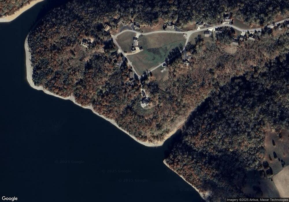
Map
Nearby Homes
- 9 Mallard Pointe Rd
- lot 9 Mallard Pointe Rd
- Lot 23 Mallard Pointe Rd
- Lot 24 Mallard Pointe Rd
- 511 Mallard Pointe Rd
- 1020 Center Ln
- 1007 Eastridge Dr
- 107 Lakeview Spur
- 1020 Eastridge Dr
- 122 Abby Ln
- 572 Lakeside Rd
- 314 Smyrna Rd
- 1250 Hill Cemetery Rd
- 0 W Main Old Hwy 42
- 156 Lakeview Heights
- 230 Storyland Dr
- 108 Lanham Ln
- LOT # 16 Obey River Shres
- 1063 Dale Hollow Estates Rd
- 00 Hassler Ln
- 726 Mallard Rd
- 726 Mallard Pointe Rd
- 756 Mallard Pointe Rd
- 711 Mallard Pointe Rd
- 706 Mallard Pointe Rd
- 716 Mallard Pointe Rd
- 766 Mallard Pointe Rd
- 631 Mallard Pointe Rd
- 696 Mallard Pointe Rd
- 636 Mallard Pointe Rd
- 606 Mallard Pointe Rd
- 676 Mallard Pointe Rd
- 656 Mallard Pointe Rd
- 646 Mallard Pointe Rd
- 581 Mallard Pointe Rd
- 586 Mallard Pointe Rd
- 571 Mallard Pointe Rd
- 533 Mallard Pointe Rd
- 566 Mallard Pointe Rd
- 746 Mallard Pointe Rd
Your Personal Tour Guide
Ask me questions while you tour the home.