736 Mallory Hill Dr The Villages, FL 32162
Village of Mallory Square NeighborhoodEstimated Value: $474,000 - $768,000
--
Bed
--
Bath
2,043
Sq Ft
$339/Sq Ft
Est. Value
About This Home
This home is located at 736 Mallory Hill Dr, The Villages, FL 32162 and is currently estimated at $693,141, approximately $339 per square foot. 736 Mallory Hill Dr is a home located in Sumter County with nearby schools including Wildwood Elementary School and Wildwood Middle/High School.
Ownership History
Date
Name
Owned For
Owner Type
Purchase Details
Closed on
Feb 3, 2006
Sold by
The Villages Of Lake Sumter Inc
Bought by
Berezo Frank L and Berezo Mary Lou
Current Estimated Value
Home Financials for this Owner
Home Financials are based on the most recent Mortgage that was taken out on this home.
Original Mortgage
$250,000
Outstanding Balance
$141,157
Interest Rate
6.25%
Mortgage Type
Fannie Mae Freddie Mac
Estimated Equity
$551,984
Create a Home Valuation Report for This Property
The Home Valuation Report is an in-depth analysis detailing your home's value as well as a comparison with similar homes in the area
Home Values in the Area
Average Home Value in this Area
Purchase History
| Date | Buyer | Sale Price | Title Company |
|---|---|---|---|
| Berezo Frank L | $488,000 | None Available |
Source: Public Records
Mortgage History
| Date | Status | Borrower | Loan Amount |
|---|---|---|---|
| Open | Berezo Frank L | $250,000 |
Source: Public Records
Tax History Compared to Growth
Tax History
| Year | Tax Paid | Tax Assessment Tax Assessment Total Assessment is a certain percentage of the fair market value that is determined by local assessors to be the total taxable value of land and additions on the property. | Land | Improvement |
|---|---|---|---|---|
| 2024 | $3,836 | $357,750 | -- | -- |
| 2023 | $3,836 | $347,330 | $0 | $0 |
| 2022 | $3,725 | $337,220 | $0 | $0 |
| 2021 | $3,956 | $327,400 | $0 | $0 |
| 2020 | $4,045 | $322,880 | $0 | $0 |
| 2019 | $4,053 | $315,630 | $0 | $0 |
| 2018 | $3,654 | $309,750 | $0 | $0 |
| 2017 | $3,686 | $303,380 | $0 | $0 |
| 2016 | $3,617 | $297,140 | $0 | $0 |
| 2015 | $4,763 | $295,080 | $0 | $0 |
| 2014 | $4,863 | $292,740 | $0 | $0 |
Source: Public Records
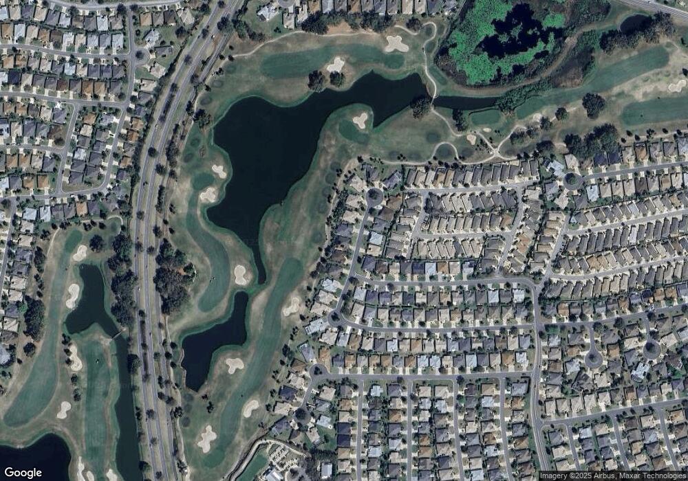
Map
Nearby Homes
- 1508 Gifford Ct
- 1410 Natalie Ln
- 552 Society Hill Cir
- 1542 Wyatt Ave
- 523 Richburg St
- 752 Maybank Loop
- 1550 Ward Ct
- 1606 Snelling Ave
- 1240 Gloverville Terrace
- 859 Kline St
- 1634 Moncks Corner
- 1637 Mount Croghan Trail
- 445 Society Hill Cir
- 1175 Johnston Path
- 654 Poinsett Ct
- 1675 Westminster Ct
- 914 Chappells Dr
- 1135 Easley Way
- 1731 Mount Carmel Terrace
- 375 Simpson St
- 730 Mallory Hill Dr
- 742 Mallory Hill Dr
- 724 Mallory Hill Dr
- 748 Mallory Hill Dr
- 737 Mallory Hill Dr
- 1385 Gayle Mill Dr
- 743 Mallory Hill Dr
- 718 Mallory Hill Dr
- 749 Mallory Hill Dr
- 754 Mallory Hill Dr
- 1391 Gayle Mill Dr
- 1430 McColl Ct
- 1384 Gayle Mill Dr
- 755 Mallory Hill Dr
- 712 Mallory Hill Dr
- 1426 McColl Ct
- 1397 Gayle Mill Dr
- 1422 McColl Ct
- 1390 Gayle Mill Dr
- 760 Mallory Hill Dr