736 Mcdaniel Rd Kings Mountain, NC 28086
Estimated Value: $225,907 - $263,000
Studio
--
Bath
1,144
Sq Ft
$215/Sq Ft
Est. Value
About This Home
This home is located at 736 Mcdaniel Rd, Kings Mountain, NC 28086 and is currently estimated at $245,477, approximately $214 per square foot. 736 Mcdaniel Rd is a home located in Cleveland County with nearby schools including Grover Elementary School, Kings Mountain Middle, and Kings Mountain Intermediate School.
Ownership History
Date
Name
Owned For
Owner Type
Purchase Details
Closed on
Jun 7, 2018
Sold by
Simmons Aaron and Simmons Allison Mcneill Greane
Bought by
Cannon Phillip T
Current Estimated Value
Home Financials for this Owner
Home Financials are based on the most recent Mortgage that was taken out on this home.
Original Mortgage
$119,700
Outstanding Balance
$106,568
Interest Rate
6%
Mortgage Type
Adjustable Rate Mortgage/ARM
Estimated Equity
$138,909
Purchase Details
Closed on
Dec 24, 2012
Sold by
Citifinancial Services Inc
Bought by
Simmons Aaron
Home Financials for this Owner
Home Financials are based on the most recent Mortgage that was taken out on this home.
Original Mortgage
$80,612
Interest Rate
3.39%
Mortgage Type
New Conventional
Purchase Details
Closed on
Sep 14, 2012
Sold by
Parker Bonnie A and Parker Roxie S
Bought by
Citifinancial Services Inc
Create a Home Valuation Report for This Property
The Home Valuation Report is an in-depth analysis detailing your home's value as well as a comparison with similar homes in the area
Home Values in the Area
Average Home Value in this Area
Purchase History
| Date | Buyer | Sale Price | Title Company |
|---|---|---|---|
| Cannon Phillip T | $122,000 | None Available | |
| Simmons Aaron | $77,500 | None Available | |
| Citifinancial Services Inc | $42,681 | None Available |
Source: Public Records
Mortgage History
| Date | Status | Borrower | Loan Amount |
|---|---|---|---|
| Open | Cannon Phillip T | $119,700 | |
| Previous Owner | Simmons Aaron | $80,612 |
Source: Public Records
Tax History
| Year | Tax Paid | Tax Assessment Tax Assessment Total Assessment is a certain percentage of the fair market value that is determined by local assessors to be the total taxable value of land and additions on the property. | Land | Improvement |
|---|---|---|---|---|
| 2025 | $1,234 | $194,349 | $29,030 | $165,319 |
| 2024 | $1,029 | $126,315 | $24,192 | $102,123 |
| 2023 | $1,024 | $126,315 | $24,192 | $102,123 |
| 2022 | $1,024 | $126,315 | $24,192 | $102,123 |
| 2021 | $1,029 | $126,315 | $24,192 | $102,123 |
| 2020 | $863 | $101,606 | $22,579 | $79,027 |
| 2019 | $863 | $101,606 | $22,579 | $79,027 |
| 2018 | $862 | $101,606 | $22,579 | $79,027 |
| 2017 | $857 | $101,606 | $22,579 | $79,027 |
| 2016 | $821 | $101,606 | $22,579 | $79,027 |
| 2015 | $807 | $99,760 | $20,160 | $79,600 |
| 2014 | $807 | $99,760 | $20,160 | $79,600 |
Source: Public Records
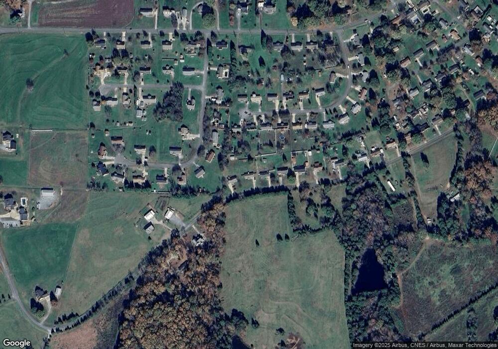
Map
Nearby Homes
- 105 Trotter Ln
- 707 Sandalwood Ln
- 907 Bethlehem Rd
- 107 Tara Terrace
- 400 El Bethel Rd
- 105 Barley Dr
- 104 Carol Lyn Rd
- 143 Yarbro Rd Unit 16
- 143 Yarbro Rd Unit 2
- 143 Yarbro Rd Unit 20
- 507 Bethlehem Rd
- 132 Yarbro Rd Unit 13
- 210 Roy Bell Rd
- 11111 High Ridge Ct Unit 11
- 293 Belcaro Dr
- 115 High Ridge Ct Unit 26
- 113 High Ridge Ct Unit 25
- 191 Belcaro Dr
- 163 Kipling Ln
- 130 Benton Rd
- 738 Mcdaniel Rd
- 734 Mcdaniel Rd
- 732 Mcdaniel Rd
- 125 Huntseat Dr
- 121 Trotter Ln
- 121 Huntseat Dr
- 123 Trotter Ln
- 125 Trotter Ln
- 129 Huntseat Dr
- 730 Mcdaniel Rd
- 119 Trotter Ln
- 117 Huntseat Dr
- 117 Huntseat Dr
- 117 Trotter Ln
- 133 Huntseat Dr
- 133 Huntseat Ln
- 728 Mcdaniel Rd
- 747 Mcdaniel Rd
- 120 Huntseat Dr
- 115 Trotter Ln
Your Personal Tour Guide
Ask me questions while you tour the home.