736 Miller St Bushnell, IL 61422
Estimated Value: $102,000 - $123,000
3
Beds
--
Bath
2,044
Sq Ft
$57/Sq Ft
Est. Value
About This Home
This home is located at 736 Miller St, Bushnell, IL 61422 and is currently estimated at $116,103, approximately $56 per square foot. 736 Miller St is a home located in McDonough County with nearby schools including Bushnell-Prairie City Elementary School, Bushnell-Prairie City Junior High School, and Bushnell-Prairie City High School.
Ownership History
Date
Name
Owned For
Owner Type
Purchase Details
Closed on
May 12, 2011
Sold by
Becker Ronald R and Becker Kathy A
Bought by
Troutman Georgia Fowler
Current Estimated Value
Purchase Details
Closed on
May 2, 2008
Sold by
Beckner Ronald R and Coombs Rhonda K
Bought by
Beckner Ronald R and Beckner Kathy A
Home Financials for this Owner
Home Financials are based on the most recent Mortgage that was taken out on this home.
Original Mortgage
$56,000
Interest Rate
6.51%
Mortgage Type
New Conventional
Create a Home Valuation Report for This Property
The Home Valuation Report is an in-depth analysis detailing your home's value as well as a comparison with similar homes in the area
Home Values in the Area
Average Home Value in this Area
Purchase History
| Date | Buyer | Sale Price | Title Company |
|---|---|---|---|
| Troutman Georgia Fowler | $10,000 | None Available | |
| Beckner Ronald R | $70,000 | None Available |
Source: Public Records
Mortgage History
| Date | Status | Borrower | Loan Amount |
|---|---|---|---|
| Previous Owner | Beckner Ronald R | $56,000 |
Source: Public Records
Tax History Compared to Growth
Tax History
| Year | Tax Paid | Tax Assessment Tax Assessment Total Assessment is a certain percentage of the fair market value that is determined by local assessors to be the total taxable value of land and additions on the property. | Land | Improvement |
|---|---|---|---|---|
| 2024 | $1,102 | $29,762 | $7,773 | $21,989 |
| 2023 | $1,071 | $29,447 | $7,691 | $21,756 |
| 2022 | $1,078 | $26,620 | $6,953 | $19,667 |
| 2021 | $1,080 | $25,486 | $6,657 | $18,829 |
| 2020 | $1,109 | $31,690 | $6,563 | $25,127 |
| 2019 | $1,108 | $26,183 | $6,839 | $19,344 |
| 2018 | $1,102 | $26,731 | $6,982 | $19,749 |
| 2017 | $1,098 | $26,349 | $6,882 | $19,467 |
| 2016 | $988 | $21,603 | $6,363 | $15,240 |
| 2015 | $1,002 | $21,603 | $6,363 | $15,240 |
| 2014 | $1,532 | $21,273 | $6,266 | $15,007 |
| 2013 | $1,505 | $22,978 | $6,768 | $16,210 |
Source: Public Records
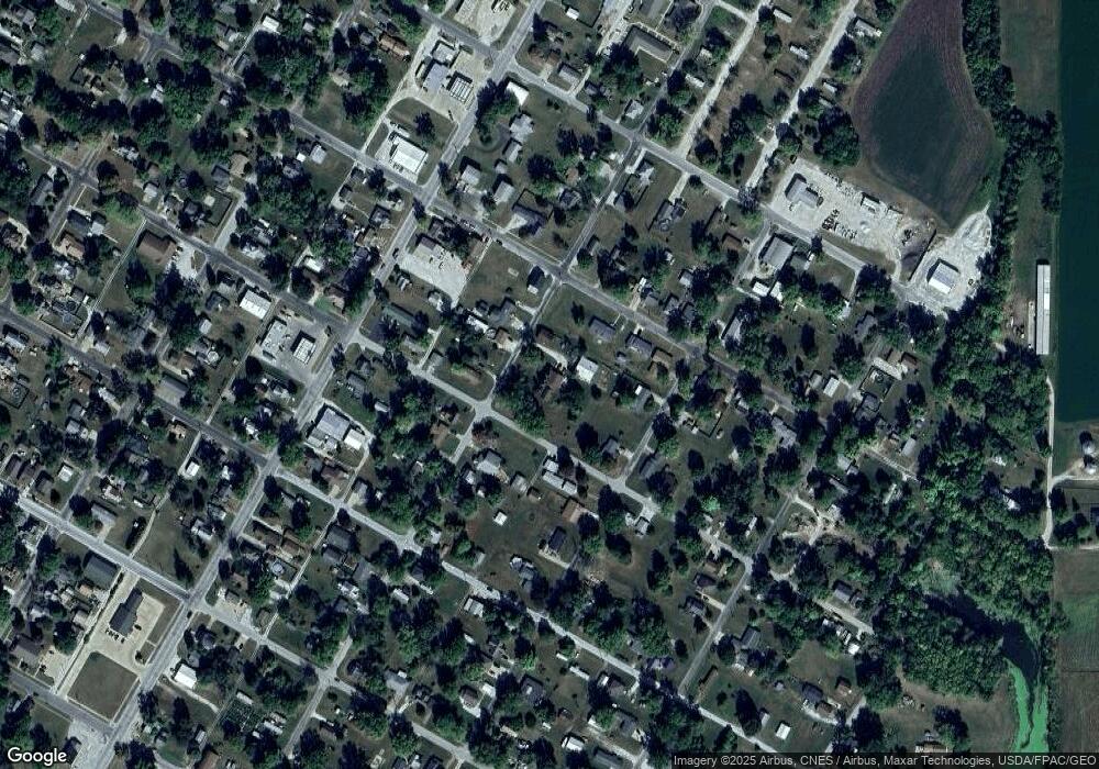
Map
Nearby Homes
- 777 Cole St
- 651 N Sperry St
- 924 N Crafford St
- 994 N Crafford St
- 1024 W Main St
- 134 W Osborne St
- 195 W Hail St
- 4 Hiel Dr
- 310 N Dean St
- 14 Hillcrest Dr
- 555 N Jackson St
- 295 W Harris Ave
- 425 N Jackson St
- 651 N Washington St
- 22561 N Cornerstone Rd
- 20620 N 2300th Rd
- 20620 N 2300 Rd
- 300 S Park St
- 18520 N 1450th Rd
- 235 N Smith St