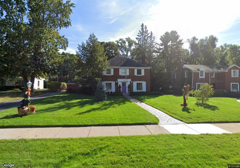
736 N Cranbrook Rd Bloomfield Hills, MI 48301
Estimated Value: $770,904 - $1,042,000
3
Beds
4
Baths
2,148
Sq Ft
$403/Sq Ft
Est. Value
About This Home
This home is located at 736 N Cranbrook Rd, Bloomfield Hills, MI 48301 and is currently estimated at $865,726, approximately $403 per square foot. 736 N Cranbrook Rd is a home located in Oakland County with nearby schools including Quarton Elementary, Derby Middle School, and Ernest W. Seaholm High School.
Ownership History
Date
Name
Owned For
Owner Type
Purchase Details
Closed on
Jul 25, 2017
Sold by
Spencer Iris N
Bought by
Hall Jeffrey M and Spencer Kerry Jane
Current Estimated Value
Home Financials for this Owner
Home Financials are based on the most recent Mortgage that was taken out on this home.
Original Mortgage
$320,000
Outstanding Balance
$266,582
Interest Rate
3.9%
Mortgage Type
New Conventional
Estimated Equity
$599,144
Create a Home Valuation Report for This Property
The Home Valuation Report is an in-depth analysis detailing your home's value as well as a comparison with similar homes in the area
Home Values in the Area
Average Home Value in this Area
Purchase History
| Date | Buyer | Sale Price | Title Company |
|---|---|---|---|
| Hall Jeffrey M | $400,000 | First American Title Insuren |
Source: Public Records
Mortgage History
| Date | Status | Borrower | Loan Amount |
|---|---|---|---|
| Open | Hall Jeffrey M | $320,000 |
Source: Public Records
Tax History Compared to Growth
Tax History
| Year | Tax Paid | Tax Assessment Tax Assessment Total Assessment is a certain percentage of the fair market value that is determined by local assessors to be the total taxable value of land and additions on the property. | Land | Improvement |
|---|---|---|---|---|
| 2024 | $6,178 | $329,780 | $0 | $0 |
| 2023 | $5,929 | $292,060 | $0 | $0 |
| 2022 | $10,453 | $269,480 | $0 | $0 |
| 2021 | $10,687 | $276,990 | $0 | $0 |
| 2020 | $5,775 | $269,190 | $0 | $0 |
| 2019 | $10,654 | $264,620 | $0 | $0 |
| 2018 | $10,541 | $250,000 | $0 | $0 |
| 2017 | $8,288 | $290,380 | $0 | $0 |
| 2016 | $8,335 | $273,130 | $0 | $0 |
| 2015 | -- | $264,200 | $0 | $0 |
| 2014 | -- | $248,480 | $0 | $0 |
| 2011 | -- | $225,030 | $0 | $0 |
Source: Public Records
Map
Nearby Homes
- 1019 N Cranbrook Rd
- 2579 Amberly Rd
- 956 Westwood Dr
- 1882 Melbourne St
- 345 Kimberly St
- 1120 Lyonhurst St
- 1834 Fairview St
- 1260 Lyonhurst St
- 120 Westchester Way
- 586 Fairfax St
- 397 S Cranbrook Rd
- 394 S Glenhurst Dr
- 1056 Pilgrim Ave
- 100 Overhill Rd
- 421 S Williamsbury Rd
- 222 Arlington St
- 3320 Morningview Terrace
- 520 Pleasant St
- 375 Dunston Rd
- 695 Westchester Way
- 684 N Cranbrook Rd Unit Bldg-Unit
- 684 N Cranbrook Rd
- 770 N Cranbrook Rd
- 770 N Cranbrook Rd
- 656 N Cranbrook Rd
- 830 N Cranbrook Rd
- 733 N Cranbrook Rd
- 620 N Cranbrook Rd
- 620 N Cranbrook Rd
- 655 N Cranbrook Rd
- 667 Waddington St
- 707 Waddington St
- 755 Waddington St
- 819 N Cranbrook Rd
- 611 N Cranbrook Rd
- 627 Waddington St
- 817 Waddington St
- 880 N Cranbrook Rd
- 506 Tilbury Rd
- 2276 Pine St