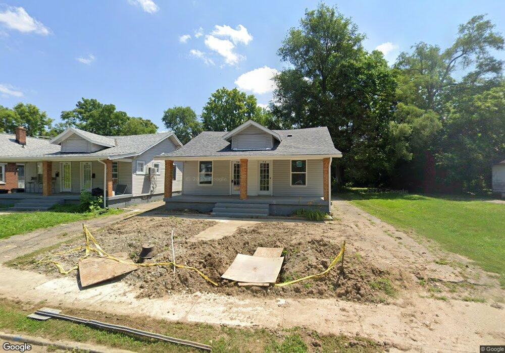
736 Osmond Ave Dayton, OH 45417
Westwood NeighborhoodEstimated Value: $88,000 - $125,000
2
Beds
2
Baths
1,176
Sq Ft
$83/Sq Ft
Est. Value
About This Home
This home is located at 736 Osmond Ave, Dayton, OH 45417 and is currently estimated at $97,862, approximately $83 per square foot. 736 Osmond Ave is a home located in Montgomery County with nearby schools including International School at Residence Park, Westwood Elementary, and Louise Troy Elementary.
Ownership History
Date
Name
Owned For
Owner Type
Purchase Details
Closed on
Sep 5, 2024
Sold by
Taylor Way Realty Llc
Bought by
Sorrell James T
Current Estimated Value
Purchase Details
Closed on
Jul 16, 2024
Sold by
King Courier Services Llc
Bought by
Taylor Way Realty Llc
Purchase Details
Closed on
Apr 8, 2021
Sold by
Cooper Don Cornelius
Bought by
King Courier Services Llc
Create a Home Valuation Report for This Property
The Home Valuation Report is an in-depth analysis detailing your home's value as well as a comparison with similar homes in the area
Home Values in the Area
Average Home Value in this Area
Purchase History
| Date | Buyer | Sale Price | Title Company |
|---|---|---|---|
| Sorrell James T | $85,000 | None Listed On Document | |
| Taylor Way Realty Llc | $20,000 | None Listed On Document | |
| King Courier Services Llc | $6,000 | None Available |
Source: Public Records
Tax History Compared to Growth
Tax History
| Year | Tax Paid | Tax Assessment Tax Assessment Total Assessment is a certain percentage of the fair market value that is determined by local assessors to be the total taxable value of land and additions on the property. | Land | Improvement |
|---|---|---|---|---|
| 2024 | $387 | $5,430 | $2,180 | $3,250 |
| 2023 | $387 | $5,430 | $2,180 | $3,250 |
| 2022 | $387 | $4,420 | $1,770 | $2,650 |
| 2021 | $325 | $4,420 | $1,770 | $2,650 |
| 2020 | $324 | $4,420 | $1,770 | $2,650 |
| 2019 | $334 | $3,990 | $1,770 | $2,220 |
| 2018 | $378 | $3,990 | $1,770 | $2,220 |
| 2017 | $376 | $3,990 | $1,770 | $2,220 |
| 2016 | $401 | $4,100 | $1,770 | $2,330 |
| 2015 | $767 | $4,100 | $1,770 | $2,330 |
| 2014 | $767 | $4,100 | $1,770 | $2,330 |
| 2012 | -- | $10,710 | $2,880 | $7,830 |
Source: Public Records
Map
Nearby Homes
- 3602 Hoover Ave Unit 3600
- 532 Crestmore Ave
- 524 Crestmore Ave
- 830 Bedford Ave
- 733 Leland Ave
- 728 Leland Ave
- 911 N Gettysburg Ave
- 712 N Gettysburg Ave
- 4059 Kammer Ave
- 548 Huron Ave
- 24 Edith St
- 314 N Upland Ave Unit 312
- 4126 Sylvan Dr
- 222 N Decker Ave
- 936 Walton Ave
- 309 Leland Ave
- 605 N Gettysburg Ave
- 4126 Kammer Ave
- 320 Huron Ave
- 4157 Kammer Ave
- 738 Osmond Ave Unit 736
- 732 Osmond Ave
- 740 Osmond Ave
- 744 Osmond Ave
- 728 Osmond Ave
- 748 Osmond Ave
- 724 Osmond Ave
- 733 Osmond Ave
- 637 Crestmore Ave
- 641 Crestmore Ave
- 635 Crestmore Ave
- 739 Osmond Ave
- 752 Osmond Ave
- 743 Osmond Ave
- 645 Crestmore Ave
- 718 Osmond Ave
- 629 Crestmore Ave
- 745 Osmond Ave
- 729 Osmond Ave
- 649 Crestmore Ave