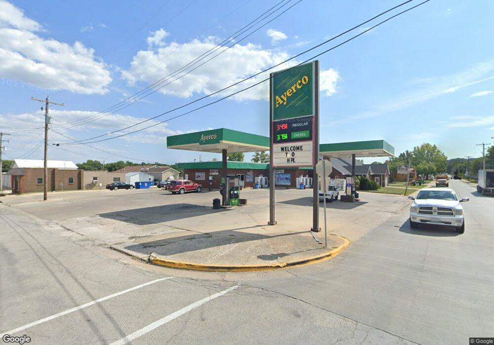
736 Salt Spring Rd Hardin, IL 62047
Estimated Value: $49,000 - $293,970
--
Bed
--
Bath
--
Sq Ft
2.2
Acres
About This Home
This home is located at 736 Salt Spring Rd, Hardin, IL 62047 and is currently estimated at $157,657. 736 Salt Spring Rd is a home located in Calhoun County with nearby schools including Calhoun Elementary/Junior High School and Calhoun High School.
Ownership History
Date
Name
Owned For
Owner Type
Purchase Details
Closed on
Mar 25, 2014
Sold by
Michael B Michael B and Hagen Peggy
Bought by
Baltisberger Eric J and Baltisberger Jennifer D
Current Estimated Value
Home Financials for this Owner
Home Financials are based on the most recent Mortgage that was taken out on this home.
Original Mortgage
$116,000
Outstanding Balance
$88,157
Interest Rate
4.41%
Mortgage Type
Unknown
Estimated Equity
$69,500
Create a Home Valuation Report for This Property
The Home Valuation Report is an in-depth analysis detailing your home's value as well as a comparison with similar homes in the area
Home Values in the Area
Average Home Value in this Area
Purchase History
| Date | Buyer | Sale Price | Title Company |
|---|---|---|---|
| Baltisberger Eric J | $145,000 | -- |
Source: Public Records
Mortgage History
| Date | Status | Borrower | Loan Amount |
|---|---|---|---|
| Open | Baltisberger Eric J | $116,000 |
Source: Public Records
Tax History Compared to Growth
Tax History
| Year | Tax Paid | Tax Assessment Tax Assessment Total Assessment is a certain percentage of the fair market value that is determined by local assessors to be the total taxable value of land and additions on the property. | Land | Improvement |
|---|---|---|---|---|
| 2024 | $5,133 | $66,300 | $2,625 | $63,675 |
| 2023 | $4,778 | $72,811 | $2,883 | $69,928 |
| 2022 | $3,922 | $66,300 | $2,625 | $63,675 |
| 2021 | $3,690 | $60,272 | $2,386 | $57,886 |
| 2020 | $3,501 | $49,518 | $2,256 | $47,262 |
| 2019 | $3,388 | $45,978 | $2,095 | $43,883 |
| 2018 | $3,485 | $45,978 | $2,095 | $43,883 |
| 2017 | $4,253 | $45,978 | $2,095 | $43,883 |
| 2016 | $4,253 | $45,978 | $2,095 | $43,883 |
| 2015 | $3,656 | $50,664 | $2,085 | $48,579 |
| 2014 | $3,656 | $50,664 | $2,085 | $48,579 |
| 2013 | $3,656 | $50,664 | $2,085 | $48,579 |
Source: Public Records
Map
Nearby Homes
- 986 Franklin Hill Rd
- 2388 Plummer Hill Rd
- 201 Barry St
- 3 Po Box
- 212 Franklin St
- 307 N Park St
- 305 Vineyard St
- 311 N Park St
- 1218 N Park St
- 236 Gallinipper Rd
- 00 Eldred Rd
- 478 W Batchtown Rd
- 2367 Degerlia Hollow Rd
- 2367 Degerlia Holw Rd
- 4 Falstaff Rd
- 000 Hidden Valley Rd
- 000 Fieldon Hallow Rd
- 0 Norton Woods Rd Unit 1094523
- 0 Norton Woods Rd Unit 17073496
- 908 Railroad Ave
- 1 Rr Box 11b Salt Spring Hollow Rd
- 1 Rr Box 11b Salt Spring Hollow Rd
- 19547 Illinois River Rd
- 19709 Illinois River Rd
- 81 Salt Spring Rd
- 0 Salt Spring Hollow Rd
- 76 Rr 2 Box
- 0 Highway 100 Unit 4406189
- 0 Highway 100 Unit 4215252
- 25 Hiwy 100
- 0 Highway 100 Unit MRD11324666
- 0 Highway 100 Unit 22007416
- 169 Salt Spring Hollow Rd
- 169 Salt Spring Hollow Rd
- RR 1 Box Salt Spring Hollow Rd
- XXX Salt Spring Hollow Rd
- 0 Salt Spring Hollow Rd
- 0 Salt Spring Hollow Unit 17062857
- 0 Salt Spring Hollow Unit 16061102
