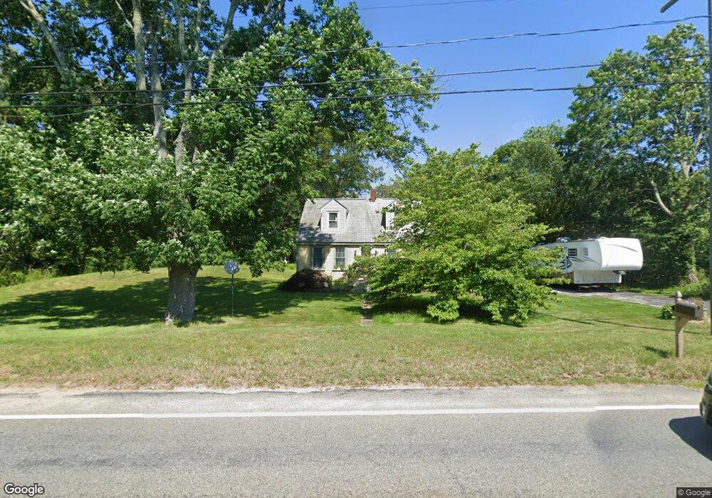
736 Sanford Rd Westport, MA 02790
North Westport NeighborhoodEstimated Value: $431,000 - $475,727
3
Beds
--
Bath
1,316
Sq Ft
$341/Sq Ft
Est. Value
About This Home
This home is located at 736 Sanford Rd, Westport, MA 02790 and is currently estimated at $448,242, approximately $340 per square foot. 736 Sanford Rd is a home located in Bristol County with nearby schools including Alice A. Macomber Primary School, Westport Elementary School, and Westport Middle-High School.
Create a Home Valuation Report for This Property
The Home Valuation Report is an in-depth analysis detailing your home's value as well as a comparison with similar homes in the area
Home Values in the Area
Average Home Value in this Area
Tax History Compared to Growth
Tax History
| Year | Tax Paid | Tax Assessment Tax Assessment Total Assessment is a certain percentage of the fair market value that is determined by local assessors to be the total taxable value of land and additions on the property. | Land | Improvement |
|---|---|---|---|---|
| 2025 | $2,688 | $360,800 | $180,500 | $180,300 |
| 2024 | $2,603 | $336,800 | $160,300 | $176,500 |
| 2023 | $2,563 | $314,100 | $146,000 | $168,100 |
| 2022 | $2,451 | $289,000 | $146,000 | $143,000 |
| 2021 | $2,127 | $246,700 | $120,700 | $126,000 |
| 2020 | $2,038 | $241,800 | $115,800 | $126,000 |
| 2019 | $1,958 | $236,800 | $115,800 | $121,000 |
| 2018 | $1,826 | $223,500 | $115,300 | $108,200 |
| 2017 | $1,765 | $221,500 | $111,600 | $109,900 |
| 2016 | $1,687 | $213,300 | $108,000 | $105,300 |
| 2015 | $1,678 | $211,600 | $110,400 | $101,200 |
Source: Public Records
Map
Nearby Homes
- 730 Sanford Rd
- 729 Sanford Rd
- 735 Sanford Rd
- 745 Sanford Rd
- 756 Sanford Rd
- 726 Sanford Rd
- 725 Sanford Rd
- 14 University Dr
- 719 Sanford Rd
- 753 Sanford Rd
- 9 University Dr
- 714 Sanford Rd
- 20 University Dr
- 15 University Dr
- 761 Sanford Rd
- 26 University Dr
- 21 University Dr
- 13 Souza Ln
- 1-3 Souza Ln
- 27 University Dr