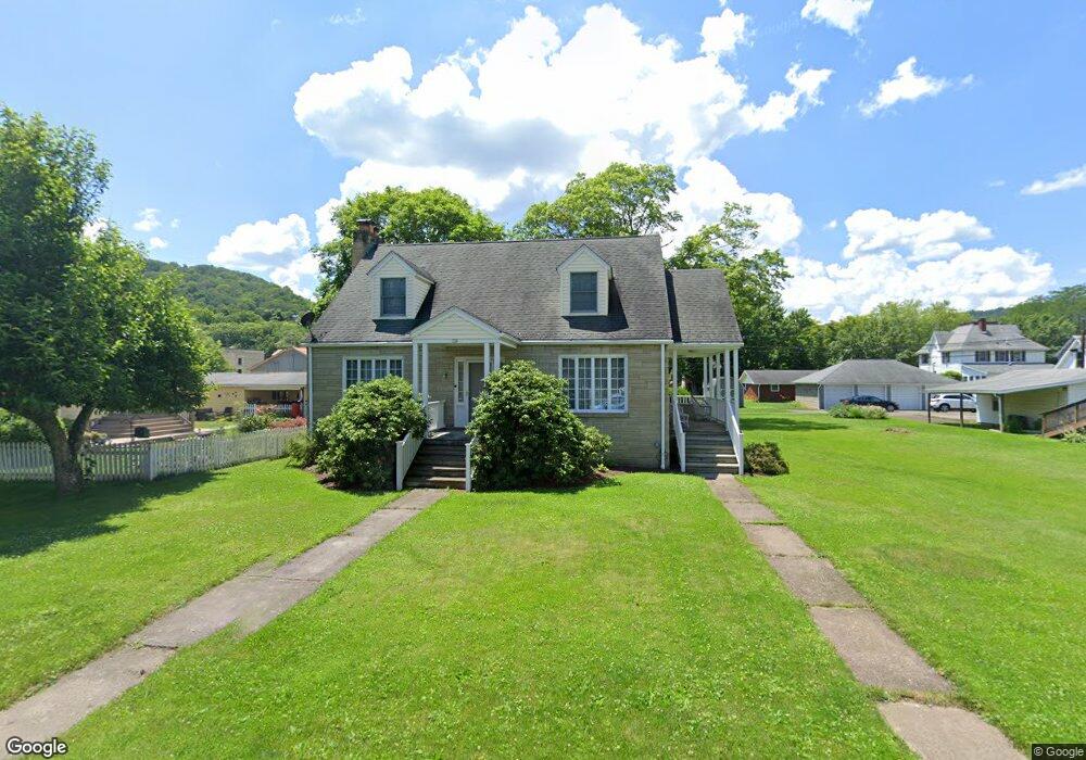
736 Williams St Confluence, PA 15424
Estimated Value: $173,890 - $237,000
4
Beds
2
Baths
--
Sq Ft
5,663
Sq Ft Lot
About This Home
This home is located at 736 Williams St, Confluence, PA 15424 and is currently estimated at $212,473. 736 Williams St is a home located in Somerset County with nearby schools including Turkeyfoot Valley Area Elementary School and Turkeyfoot Valley Area Junior/Senior High School.
Ownership History
Date
Name
Owned For
Owner Type
Purchase Details
Closed on
Feb 14, 2020
Sold by
May Patricia R
Bought by
May Patricia R and The Patricia R May Living Trus
Current Estimated Value
Purchase Details
Closed on
Oct 31, 2008
Sold by
Toner Riahcrd F and Toner Donna L
Bought by
May Patricia R
Home Financials for this Owner
Home Financials are based on the most recent Mortgage that was taken out on this home.
Original Mortgage
$127,000
Outstanding Balance
$83,572
Interest Rate
6.13%
Mortgage Type
New Conventional
Estimated Equity
$128,901
Purchase Details
Closed on
Jun 29, 2007
Sold by
Mcculley Larrry G and Mcculley Donna E
Bought by
Toner Richard F and Toner Donna L
Home Financials for this Owner
Home Financials are based on the most recent Mortgage that was taken out on this home.
Original Mortgage
$27,000
Interest Rate
6.24%
Mortgage Type
Purchase Money Mortgage
Create a Home Valuation Report for This Property
The Home Valuation Report is an in-depth analysis detailing your home's value as well as a comparison with similar homes in the area
Purchase History
| Date | Buyer | Sale Price | Title Company |
|---|---|---|---|
| May Patricia R | -- | None Available | |
| May Patricia R | $158,900 | None Available | |
| Toner Richard F | $135,000 | None Available |
Source: Public Records
Mortgage History
| Date | Status | Borrower | Loan Amount |
|---|---|---|---|
| Open | May Patricia R | $127,000 | |
| Previous Owner | Toner Richard F | $27,000 |
Source: Public Records
Tax History
| Year | Tax Paid | Tax Assessment Tax Assessment Total Assessment is a certain percentage of the fair market value that is determined by local assessors to be the total taxable value of land and additions on the property. | Land | Improvement |
|---|---|---|---|---|
| 2025 | $1,475 | $28,710 | $0 | $0 |
| 2024 | $1,475 | $28,710 | $0 | $0 |
| 2023 | $1,425 | $28,710 | $0 | $0 |
| 2022 | $979 | $28,710 | $0 | $0 |
| 2021 | $1,363 | $28,710 | $0 | $0 |
| 2020 | $1,363 | $28,710 | $0 | $0 |
| 2019 | $1,363 | $28,710 | $0 | $0 |
| 2018 | $1,350 | $28,710 | $3,570 | $25,140 |
| 2017 | $1,292 | $28,710 | $3,570 | $25,140 |
| 2016 | -- | $28,710 | $3,570 | $25,140 |
| 2015 | -- | $26,200 | $3,565 | $22,635 |
| 2014 | -- | $26,200 | $3,565 | $22,635 |
Source: Public Records
Map
Nearby Homes
- 631 Meyers St
- 833 Oden St
- 626 Sterner St
- 629 River Rd
- 305 Abram St
- 0 Klondike Rd Unit 22177073
- 0 Klondike Rd Unit 22177082
- 0 Klondike Rd Unit 22177074
- Lot 6 Klondike Rd
- Lot 2 Klondike Rd
- Lot 1 Klondike Rd
- 000
- 159 Cedar Rd
- #5 & 7 Laurel Rd
- 447 Lake Side Rd
- 230 Locust Rd
- 100 Jersey Hollow Rd
- 734 Main St
- 147 Fike Ln
- 171 Mae West Rd
Your Personal Tour Guide
Ask me questions while you tour the home.