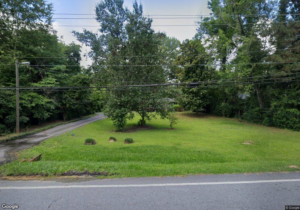
736 Wimbish Rd Macon, GA 31210
Estimated Value: $159,000 - $217,000
3
Beds
2
Baths
1,487
Sq Ft
$125/Sq Ft
Est. Value
About This Home
This home is located at 736 Wimbish Rd, Macon, GA 31210 and is currently estimated at $186,376, approximately $125 per square foot. 736 Wimbish Rd is a home located in Bibb County with nearby schools including Lane Elementary School, Howard Middle School, and Howard High School.
Ownership History
Date
Name
Owned For
Owner Type
Purchase Details
Closed on
Jul 8, 2011
Sold by
Waters Matthew E and Waters Gina G
Bought by
Glenn Latasha L
Current Estimated Value
Home Financials for this Owner
Home Financials are based on the most recent Mortgage that was taken out on this home.
Original Mortgage
$98,000
Outstanding Balance
$67,284
Interest Rate
4.62%
Mortgage Type
New Conventional
Estimated Equity
$119,092
Purchase Details
Closed on
Jun 30, 2004
Bought by
Waters Matthew and Waters Gina
Create a Home Valuation Report for This Property
The Home Valuation Report is an in-depth analysis detailing your home's value as well as a comparison with similar homes in the area
Home Values in the Area
Average Home Value in this Area
Purchase History
| Date | Buyer | Sale Price | Title Company |
|---|---|---|---|
| Glenn Latasha L | $98,000 | None Available | |
| Waters Matthew | $112,900 | -- |
Source: Public Records
Mortgage History
| Date | Status | Borrower | Loan Amount |
|---|---|---|---|
| Open | Glenn Latasha L | $98,000 |
Source: Public Records
Tax History Compared to Growth
Tax History
| Year | Tax Paid | Tax Assessment Tax Assessment Total Assessment is a certain percentage of the fair market value that is determined by local assessors to be the total taxable value of land and additions on the property. | Land | Improvement |
|---|---|---|---|---|
| 2025 | $1,110 | $52,154 | $14,040 | $38,114 |
| 2024 | $1,122 | $51,185 | $14,040 | $37,145 |
| 2023 | $542 | $46,340 | $14,040 | $32,300 |
| 2022 | $1,205 | $41,810 | $6,914 | $34,896 |
| 2021 | $1,103 | $36,032 | $6,382 | $29,650 |
| 2020 | $1,127 | $36,032 | $6,382 | $29,650 |
| 2019 | $1,136 | $36,032 | $6,382 | $29,650 |
| 2018 | $1,920 | $36,032 | $6,382 | $29,650 |
| 2017 | $1,088 | $36,032 | $6,382 | $29,650 |
| 2016 | $1,004 | $36,032 | $6,382 | $29,650 |
| 2015 | $1,422 | $36,032 | $6,382 | $29,650 |
| 2014 | $1,687 | $36,032 | $6,382 | $29,650 |
Source: Public Records
Map
Nearby Homes
- 880 Winchester Cir
- 770 Windsor Rd
- 740 Valley Trail
- 2988 Crestline Dr
- 648 Willow Creek Dr
- 615 Willow Creek Dr
- 603 Willow Creek Dr
- 161 Ten Knolls Dr
- 620 Rosa Taylor Dr
- 2945 Crestline Dr
- 613 Rosa Taylor Dr
- 1197 Matthews Place
- 621 Forest Hill Rd
- 518 High Point North Rd
- 938 Lundy Terrace
- 1246 Newport Rd
- 627 Lokchapee Ridge
- 636 Lokchapee Ridge
- 803 Captain Kell Dr
- 957 Laurel Oak Ct
- 732 Wimbish Rd
- 740 Wimbish Rd
- 741 Blanton Blvd
- 745 Blanton Blvd
- 728 Wimbish Rd
- 737 Blanton Blvd
- 744 Wimbish Rd
- 749 Blanton Blvd
- 737 Wimbish Rd
- 733 Wimbish Rd
- 723 Blanton Blvd
- 729 Blanton Blvd
- 727 Wimbish Rd
- 0 Blanton Blvd Unit 8389932
- 748 Wimbish Rd
- 745 Wimbish Rd
- 753 Blanton Blvd
- 744 Blanton Blvd
- 740 Blanton Blvd
- 725 Wimbish Rd