7361 State Route 725 W Camden, OH 45311
Estimated Value: $200,542 - $272,000
2
Beds
1
Bath
2,067
Sq Ft
$114/Sq Ft
Est. Value
About This Home
This home is located at 7361 State Route 725 W, Camden, OH 45311 and is currently estimated at $235,181, approximately $113 per square foot. 7361 State Route 725 W is a home located in Preble County with nearby schools including Miller Heights Elementary School, Hollingsworth East Elementary School, and William Bruce Elementary School.
Ownership History
Date
Name
Owned For
Owner Type
Purchase Details
Closed on
Oct 30, 2019
Sold by
Estate Of Diane Louise Wilhelm
Bought by
Wilhelm Kent A
Current Estimated Value
Purchase Details
Closed on
Jan 24, 2002
Sold by
Garrett David
Bought by
Wilhelm Diane
Home Financials for this Owner
Home Financials are based on the most recent Mortgage that was taken out on this home.
Original Mortgage
$76,300
Outstanding Balance
$31,772
Interest Rate
7.16%
Mortgage Type
New Conventional
Estimated Equity
$203,409
Purchase Details
Closed on
Nov 3, 1999
Sold by
Deprez Janet
Bought by
Garrett David and Garrett Linda
Home Financials for this Owner
Home Financials are based on the most recent Mortgage that was taken out on this home.
Original Mortgage
$38,400
Interest Rate
7.78%
Mortgage Type
New Conventional
Create a Home Valuation Report for This Property
The Home Valuation Report is an in-depth analysis detailing your home's value as well as a comparison with similar homes in the area
Home Values in the Area
Average Home Value in this Area
Purchase History
| Date | Buyer | Sale Price | Title Company |
|---|---|---|---|
| Wilhelm Kent A | -- | None Available | |
| Wilhelm Diane | $80,340 | -- | |
| Garrett David | $48,000 | -- |
Source: Public Records
Mortgage History
| Date | Status | Borrower | Loan Amount |
|---|---|---|---|
| Open | Wilhelm Diane | $76,300 | |
| Previous Owner | Garrett David | $38,400 |
Source: Public Records
Tax History Compared to Growth
Tax History
| Year | Tax Paid | Tax Assessment Tax Assessment Total Assessment is a certain percentage of the fair market value that is determined by local assessors to be the total taxable value of land and additions on the property. | Land | Improvement |
|---|---|---|---|---|
| 2024 | $1,720 | $51,140 | $19,180 | $31,960 |
| 2023 | $1,720 | $51,140 | $19,180 | $31,960 |
| 2022 | $1,825 | $44,630 | $17,780 | $26,850 |
| 2021 | $1,920 | $44,630 | $17,780 | $26,850 |
| 2020 | $1,845 | $44,630 | $17,780 | $26,850 |
| 2019 | $1,645 | $39,270 | $15,890 | $23,380 |
| 2018 | $1,700 | $39,270 | $15,890 | $23,380 |
| 2017 | $1,699 | $39,270 | $15,890 | $23,380 |
| 2016 | $1,479 | $36,930 | $15,400 | $21,530 |
| 2014 | $1,453 | $36,930 | $15,400 | $21,530 |
| 2013 | $1,503 | $36,925 | $15,400 | $21,525 |
Source: Public Records
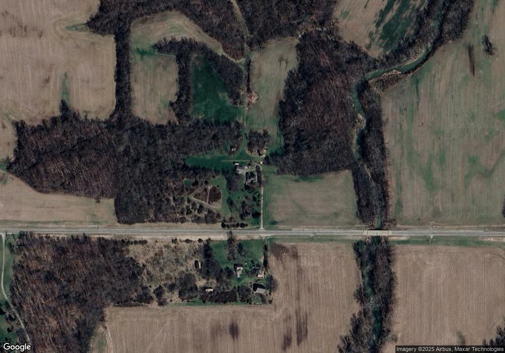
Map
Nearby Homes
- 6244 Watt Rd
- 5722 E Township Line Rd
- 5829 Watt Rd
- 7897 4 Mile State Line Rd
- 8961 Walnut St
- 212 Shideler St
- 515 Liberty Ave
- 106 County Line Rd
- 4 Main St
- 4122 E Solar Dr
- 400 Brookville St
- 209 Main St
- 400 Union St
- 218 Brookville St
- 2349 U S 27
- 5395 Brookville Pike
- 0 E County Road 200 N Unit 10052428
- 0 Valhalla Cove Unit 941078
- 314 Lakengren Dr
- 200 Finland Dr
- 7358 State Route 725 W
- 7772 Creek Rd
- 7772 Creek Rd
- 7646 State Route 725 W
- 8357 Simpson Rd
- 7646 Creek Rd
- 7472 Creek Rd
- 7380 Creek Rd
- 7461 Creek Rd
- 8235 Simpson Rd
- 8190 Fairhaven College Corner Rd
- 8350 Fairhaven Colg Corn Rd
- 8388 Fairhaven College Corner Rd
- 8465 Simpson Rd
- 8396 Simpson Rd
- 8167 Fairhaven Colg Corn Rd
- 7201 Creek Rd
- 8430 Simpson Rd
- 8355 Fairhaven College Corner Rd
- 7967 Fairhaven Colg Corn Rd