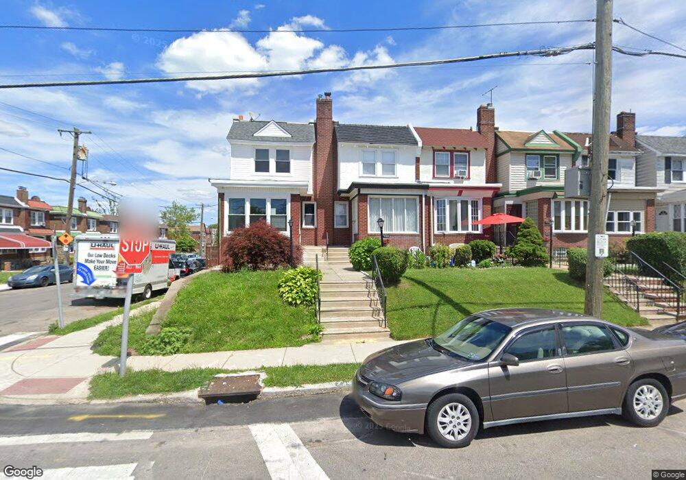
7363 Walnut Ln Philadelphia, PA 19138
West Oak Lane NeighborhoodEstimated Value: $223,000 - $228,000
3
Beds
1
Bath
1,400
Sq Ft
$161/Sq Ft
Est. Value
About This Home
This home is located at 7363 Walnut Ln, Philadelphia, PA 19138 and is currently estimated at $225,660, approximately $161 per square foot. 7363 Walnut Ln is a home located in Philadelphia County with nearby schools including Pennypacker Samuel School, Martin Luther King High School, and West Oak Lane Charter School.
Ownership History
Date
Name
Owned For
Owner Type
Purchase Details
Closed on
Jul 11, 2025
Sold by
Hardy Marlene Y and Harpe Tracy
Bought by
Dunn Wilton
Current Estimated Value
Home Financials for this Owner
Home Financials are based on the most recent Mortgage that was taken out on this home.
Original Mortgage
$229,837
Outstanding Balance
$229,448
Interest Rate
6.85%
Mortgage Type
VA
Estimated Equity
-$3,788
Purchase Details
Closed on
Sep 14, 1972
Bought by
Marlene Marlene Y and Marlene M
Create a Home Valuation Report for This Property
The Home Valuation Report is an in-depth analysis detailing your home's value as well as a comparison with similar homes in the area
Home Values in the Area
Average Home Value in this Area
Purchase History
| Date | Buyer | Sale Price | Title Company |
|---|---|---|---|
| Dunn Wilton | $225,000 | None Listed On Document | |
| Marlene Marlene Y | -- | -- |
Source: Public Records
Mortgage History
| Date | Status | Borrower | Loan Amount |
|---|---|---|---|
| Open | Dunn Wilton | $229,837 |
Source: Public Records
Tax History Compared to Growth
Tax History
| Year | Tax Paid | Tax Assessment Tax Assessment Total Assessment is a certain percentage of the fair market value that is determined by local assessors to be the total taxable value of land and additions on the property. | Land | Improvement |
|---|---|---|---|---|
| 2025 | $2,478 | $212,400 | $42,480 | $169,920 |
| 2024 | $2,478 | $212,400 | $42,480 | $169,920 |
| 2023 | $2,478 | $177,000 | $35,400 | $141,600 |
| 2022 | $1,160 | $132,000 | $35,400 | $96,600 |
| 2021 | $1,790 | $0 | $0 | $0 |
| 2020 | $1,790 | $0 | $0 | $0 |
| 2019 | $1,869 | $0 | $0 | $0 |
| 2018 | $1,832 | $0 | $0 | $0 |
| 2017 | $1,832 | $0 | $0 | $0 |
| 2016 | $1,412 | $0 | $0 | $0 |
| 2015 | $388 | $0 | $0 | $0 |
| 2014 | -- | $130,900 | $13,746 | $117,154 |
| 2012 | -- | $15,680 | $2,720 | $12,960 |
Source: Public Records
Map
Nearby Homes
- 1996 73rd Ave
- 1980 Penfield St
- 1979 73rd Ave
- 1975 73rd Ave
- 7321 Sommers Rd
- 7245 Ogontz Ave
- 7413 Sommers Rd
- 1947 Penfield St
- 7520 N 20th St
- 7188 N Uber St
- 7499 Briar Rd
- 7159 N 20th St
- 7206 Forrest Ave
- 1911 72nd Ave
- 2204 W Cheltenham Ave
- 1837 73rd Ave
- 7092 Forrest Ave
- 1847 Plymouth St
- 2216 W Cheltenham Ave
- 2308 76th Ave