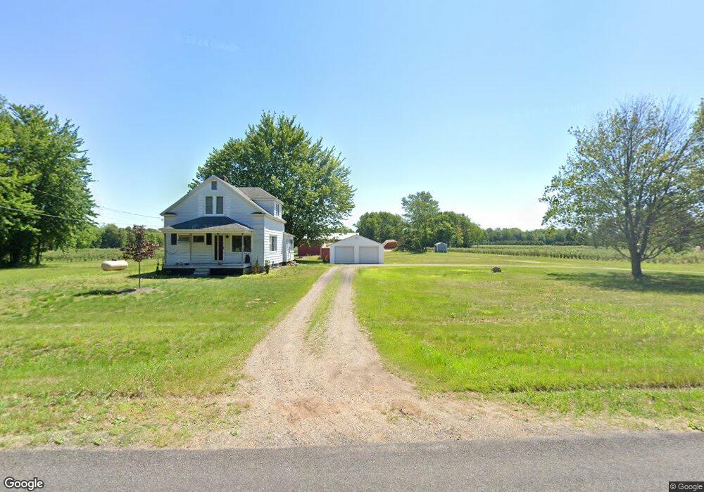
7364 152nd Ave West Olive, MI 49460
Estimated Value: $339,000 - $430,000
3
Beds
1
Bath
1,442
Sq Ft
$272/Sq Ft
Est. Value
About This Home
This home is located at 7364 152nd Ave, West Olive, MI 49460 and is currently estimated at $391,753, approximately $271 per square foot. 7364 152nd Ave is a home located in Ottawa County with nearby schools including Sheldon Woods Elementary School, Harbor Lights Middle School, and West Ottawa High School.
Ownership History
Date
Name
Owned For
Owner Type
Purchase Details
Closed on
May 21, 2014
Sold by
Bramer Tonya J
Bought by
Tonya J Bramer Trust and Bramer Matthew J
Current Estimated Value
Purchase Details
Closed on
Nov 4, 2011
Sold by
Kouw Donna Lou
Bought by
Bramer Tonya
Home Financials for this Owner
Home Financials are based on the most recent Mortgage that was taken out on this home.
Original Mortgage
$121,500
Outstanding Balance
$82,651
Interest Rate
3.97%
Mortgage Type
New Conventional
Estimated Equity
$309,102
Create a Home Valuation Report for This Property
The Home Valuation Report is an in-depth analysis detailing your home's value as well as a comparison with similar homes in the area
Home Values in the Area
Average Home Value in this Area
Purchase History
| Date | Buyer | Sale Price | Title Company |
|---|---|---|---|
| Tonya J Bramer Trust | -- | None Available | |
| Bramer Tonya | $135,000 | Lighthouse Title Inc |
Source: Public Records
Mortgage History
| Date | Status | Borrower | Loan Amount |
|---|---|---|---|
| Open | Bramer Tonya | $121,500 |
Source: Public Records
Tax History Compared to Growth
Tax History
| Year | Tax Paid | Tax Assessment Tax Assessment Total Assessment is a certain percentage of the fair market value that is determined by local assessors to be the total taxable value of land and additions on the property. | Land | Improvement |
|---|---|---|---|---|
| 2025 | $2,375 | $164,800 | $0 | $0 |
| 2024 | $2,053 | $149,000 | $0 | $0 |
| 2023 | $1,981 | $126,100 | $0 | $0 |
| 2022 | $2,176 | $111,400 | $0 | $0 |
| 2021 | $2,114 | $102,100 | $0 | $0 |
| 2020 | $2,091 | $99,800 | $0 | $0 |
| 2019 | $2,001 | $92,600 | $0 | $0 |
| 2018 | -- | $80,000 | $0 | $0 |
| 2017 | -- | $80,000 | $0 | $0 |
| 2016 | -- | $76,500 | $0 | $0 |
| 2015 | -- | $72,200 | $0 | $0 |
| 2014 | -- | $69,500 | $0 | $0 |
Source: Public Records
Map
Nearby Homes
- 15611 River Woods
- VL Blair St
- 0 Port Sheldon St Unit Parcel A 25009245
- 16302 Blair St
- 6060 152nd Ave
- 15991 Croswell St
- 8518 146th Ave
- 15955 Revello Ct
- 14474 Winding Creek Ln
- 8747 Muirfield Dr
- 7135 Lakeshore Dr
- 16976 Lake Ave
- 0 Blair St Unit D 22011592
- V/L Inland Dr
- 16659 Adler Dr
- 14243 Bogie Ln
- 5577 Timberstone Ln
- 9150 Stoney Station Unit Lot 570
- 14445 Fellows Station
- 9235 Bigleaf Dr
- 7495 152nd Ave
- 7495 152nd Ave
- 7490 152nd Ave
- 15125 Tyler St
- 7520 152nd Ave
- 7535 152nd Ave
- 15100 Baldwin St
- 15146 Baldwin St
- 7585 152nd Ave
- 7100 152nd Ave
- 15060 Baldwin St
- 15433 River Trace
- 14955 Tyler St
- 15265 Baldwin St
- 15444 River Trace
- 15211 Baldwin St
- 15018 Baldwin St
- 14831 Tyler St
- 15101 Baldwin St
- 15091 Baldwin St