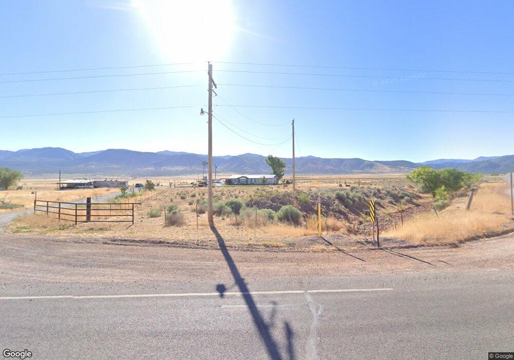
7365 S Highway 133 Hwy Kanosh, UT 84637
Estimated Value: $334,157 - $884,000
--
Bed
--
Bath
--
Sq Ft
11.24
Acres
About This Home
This home is located at 7365 S Highway 133 Hwy, Kanosh, UT 84637 and is currently estimated at $530,386. 7365 S Highway 133 Hwy is a home.
Create a Home Valuation Report for This Property
The Home Valuation Report is an in-depth analysis detailing your home's value as well as a comparison with similar homes in the area
Home Values in the Area
Average Home Value in this Area
Tax History Compared to Growth
Tax History
| Year | Tax Paid | Tax Assessment Tax Assessment Total Assessment is a certain percentage of the fair market value that is determined by local assessors to be the total taxable value of land and additions on the property. | Land | Improvement |
|---|---|---|---|---|
| 2025 | $925 | $123,124 | $19,750 | $103,374 |
| 2024 | $925 | $142,271 | $14,250 | $128,021 |
| 2023 | $1,152 | $142,271 | $14,250 | $128,021 |
| 2022 | $1,326 | $126,979 | $14,250 | $112,729 |
| 2021 | $1,195 | $110,486 | $12,600 | $97,886 |
| 2020 | $998 | $93,430 | $12,600 | $80,830 |
| 2019 | $818 | $77,243 | $12,600 | $64,643 |
| 2018 | $664 | $64,314 | $12,600 | $51,714 |
| 2017 | $660 | $61,014 | $9,300 | $51,714 |
| 2016 | $626 | $60,685 | $9,300 | $51,385 |
| 2015 | $634 | $61,437 | $8,800 | $52,637 |
| 2014 | -- | $61,437 | $8,800 | $52,637 |
| 2013 | -- | $61,437 | $8,800 | $52,637 |
Source: Public Records
Map
Nearby Homes
- 135 E 200 N
- 115 W 200 S
- 58 E 300 South St
- 8610 S Highway 91
- 5098 W Hatton Rd
- Parcel # 8816
- 60 W Center St
- 50 N 100 Rd E
- 145 N 200 E
- 1565 W Sunflower Ln Unit 3
- 1615 W Sunflower Ln
- 1615 W Sunflower Ln Unit 4
- 1565 W Sunflower Ln
- 2000 N West Frontage I-15
- 1100 S 725 Rd W
- 0 Tbd Black Rock Rd Unit LotWP001
- 310 S 500 West Rd
- 190 W 400 St S
- 760 E 700 St S
- 155 E 500 St S