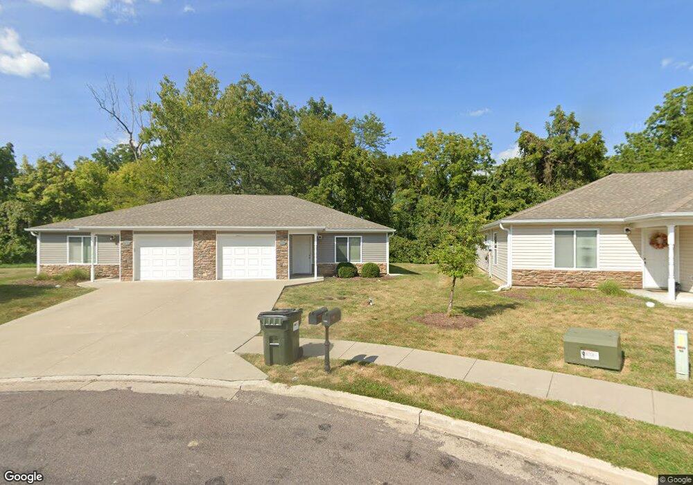
7367 Noah Ct Columbia, MO 65202
Estimated Value: $293,000
2
Beds
2
Baths
1,091
Sq Ft
$269/Sq Ft
Est. Value
About This Home
This home is located at 7367 Noah Ct, Columbia, MO 65202 and is currently estimated at $293,000, approximately $268 per square foot. 7367 Noah Ct is a home located in Boone County with nearby schools including Eliot Battle Elementary School, John B. Lange Middle School, and Muriel W. Battle High School.
Ownership History
Date
Name
Owned For
Owner Type
Purchase Details
Closed on
Mar 13, 2025
Sold by
Barkhem Holdings Llc
Bought by
Summer Solstice Properties Llc
Current Estimated Value
Home Financials for this Owner
Home Financials are based on the most recent Mortgage that was taken out on this home.
Original Mortgage
$2,955,625
Outstanding Balance
$1,879,141
Interest Rate
6.95%
Mortgage Type
Construction
Estimated Equity
-$1,586,141
Create a Home Valuation Report for This Property
The Home Valuation Report is an in-depth analysis detailing your home's value as well as a comparison with similar homes in the area
Purchase History
| Date | Buyer | Sale Price | Title Company |
|---|---|---|---|
| Summer Solstice Properties Llc | -- | None Listed On Document |
Source: Public Records
Mortgage History
| Date | Status | Borrower | Loan Amount |
|---|---|---|---|
| Open | Summer Solstice Properties Llc | $2,955,625 |
Source: Public Records
Tax History
| Year | Tax Paid | Tax Assessment Tax Assessment Total Assessment is a certain percentage of the fair market value that is determined by local assessors to be the total taxable value of land and additions on the property. | Land | Improvement |
|---|---|---|---|---|
| 2025 | $2,557 | $36,366 | $5,320 | $31,046 |
| 2024 | $2,391 | $33,060 | $5,320 | $27,740 |
| 2023 | $2,370 | $33,060 | $5,320 | $27,740 |
| 2022 | $2,277 | $31,787 | $5,320 | $26,467 |
| 2021 | $2,281 | $31,787 | $5,320 | $26,467 |
| 2020 | $2,417 | $31,787 | $5,320 | $26,467 |
| 2019 | $2,417 | $31,787 | $5,320 | $26,467 |
| 2018 | $2,432 | $0 | $0 | $0 |
| 2017 | $2,404 | $31,787 | $5,320 | $26,467 |
| 2016 | $2,400 | $31,787 | $5,320 | $26,467 |
| 2015 | $2,217 | $31,787 | $5,320 | $26,467 |
| 2014 | $2,222 | $31,787 | $5,320 | $26,467 |
Source: Public Records
Map
Nearby Homes
- 0 E St Charles Rd Unit 431486
- 0 E St Charles Rd Unit 415697
- LOT 302 Battle Ave
- LOT 502 Armstrong Dr
- LOT 3 Battle Ave
- LOT 1 Battle Ave
- 6900 Armstrong Dr
- 6812 Armstrong Dr
- 2422 Lawton Dr
- 2205 Brengman Dr
- 9830 Interstate 70 Dr SE
- 820 NW Park Ln
- 2530 N Lake of the Wood Rd
- 223 Sarazen Ct
- 2380 N Federal Dr
- 2400 N Federal Dr
- 2275 N Traveller Dr
- 2415 N Traveller Dr
- 2456 N Traveller Dr
- 2314 N Traveller Dr
- 7365 Noah Ct
- 7385-7387 Noah Ct
- 7385 E E 7385 7387 Noah Ct Ct
- 7347 Noah Ct
- 7417 Noah Ct
- 7382 Noah Ct
- 7362 Noah Ct
- 7435 Noah Ct Unit 7437
- 7360 Noah Ct
- 7370 Arratt Ct Unit 7372
- 7380 Noah Ct
- 7437 Noah Ct
- 1900 N Frank Stanton Dr
- 7412 Noah Ct
- 7372 Arratt Ct
- 7410 Noah Ct Unit 7412
- 7390 Arratt Ct Unit 7392
- 7392 Arratt Ct
- 7455 Noah Ct Unit 7457
- 7420 Arratt Ct Unit 7422
Your Personal Tour Guide
Ask me questions while you tour the home.