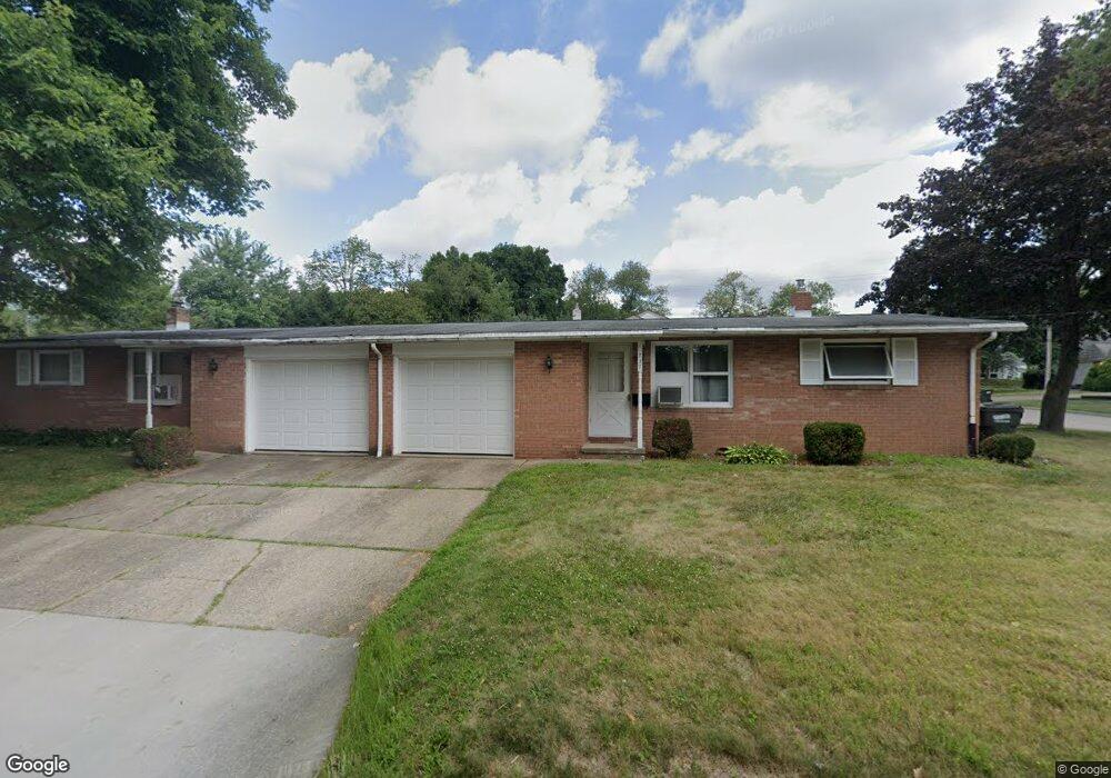
737 7th St NW North Canton, OH 44720
Estimated Value: $184,769 - $251,000
4
Beds
2
Baths
1,852
Sq Ft
$123/Sq Ft
Est. Value
About This Home
This home is located at 737 7th St NW, North Canton, OH 44720 and is currently estimated at $228,692, approximately $123 per square foot. 737 7th St NW is a home located in Stark County with nearby schools including Orchard Hill Intermediate School, North Canton Middle School, and Hoover High School.
Ownership History
Date
Name
Owned For
Owner Type
Purchase Details
Closed on
Jul 30, 2019
Sold by
Muntean Dennis L and Muntean Nancy A
Bought by
Muntean Brian D and The Muntean Family Irrevocable Trust
Current Estimated Value
Purchase Details
Closed on
Dec 18, 2015
Sold by
Muntean Dennis L and Muntean Nancy A
Bought by
Lake Emerson & Seventh Llc
Purchase Details
Closed on
Oct 31, 2013
Sold by
Cassler Richard E
Bought by
Muntean Dennis L and Muntean Nancy A
Home Financials for this Owner
Home Financials are based on the most recent Mortgage that was taken out on this home.
Original Mortgage
$78,750
Interest Rate
4.5%
Mortgage Type
New Conventional
Purchase Details
Closed on
Mar 31, 1993
Create a Home Valuation Report for This Property
The Home Valuation Report is an in-depth analysis detailing your home's value as well as a comparison with similar homes in the area
Home Values in the Area
Average Home Value in this Area
Purchase History
| Date | Buyer | Sale Price | Title Company |
|---|---|---|---|
| Muntean Brian D | -- | None Available | |
| Muntean Dennis L | -- | None Available | |
| Lake Emerson & Seventh Llc | -- | Attorney | |
| Muntean Dennis L | $105,000 | None Available | |
| -- | -- | -- |
Source: Public Records
Mortgage History
| Date | Status | Borrower | Loan Amount |
|---|---|---|---|
| Previous Owner | Muntean Dennis L | $78,750 |
Source: Public Records
Tax History Compared to Growth
Tax History
| Year | Tax Paid | Tax Assessment Tax Assessment Total Assessment is a certain percentage of the fair market value that is determined by local assessors to be the total taxable value of land and additions on the property. | Land | Improvement |
|---|---|---|---|---|
| 2025 | -- | $57,750 | $16,450 | $41,300 |
| 2024 | -- | $57,750 | $16,450 | $41,300 |
| 2023 | $2,851 | $52,220 | $13,090 | $39,130 |
| 2022 | $2,743 | $52,220 | $13,090 | $39,130 |
| 2021 | $2,648 | $52,220 | $13,090 | $39,130 |
| 2020 | $2,582 | $45,720 | $11,380 | $34,340 |
| 2019 | $2,410 | $45,720 | $11,380 | $34,340 |
| 2018 | $2,505 | $45,720 | $11,380 | $34,340 |
| 2017 | $2,326 | $44,450 | $10,500 | $33,950 |
| 2016 | $2,335 | $44,450 | $10,500 | $33,950 |
| 2015 | $2,344 | $44,450 | $10,500 | $33,950 |
| 2014 | $381 | $42,150 | $9,980 | $32,170 |
| 2013 | $1,102 | $38,890 | $10,290 | $28,600 |
Source: Public Records
Map
Nearby Homes
- 608 Werstler Ave NW
- 404 7th St NW
- 742 Portage St NW
- 1015 Lois Ave NW
- 455 Royer Ave NW
- 624 Portage St NW
- 1263 Los Angeles Blvd NW
- 1171 Terrace Rd NW
- 140 5th St NE
- 0 W Maple St Unit 5135089
- 1482 Democracy Dr NW
- 1222 W Maple St Unit 6A
- 1060 Park Ave NE
- 1246 W Maple St Unit 4A
- 1236 W Maple St
- 1350 Overland Ave NE
- 727 Lorena St SW
- 406 Hower St NE
- 448 Hower St NE
- 434 Heather Cir NE
- 703 Werstler Ave NW
- 615 Werstler Ave NW
- 765 7th St NW
- 609 Werstler Ave NW
- 714 Emerson Ave NW
- 530 Emerson Ave NW
- 720 Emerson Ave NW
- 721 7th St NW
- 702 Werstler Ave NW
- 603 Werstler Ave NW
- 522 524 A&B Emerson Ave NW
- 0 Werstler Ave NW Unit 3934852
- 614 Werstler Ave NW
- 710 Werstler Ave NW
- 522 Emerson Ave NW
- 524 Emerson Ave NW
- 524 Emerson Ave NW Unit A
- 803 Werstler Ave NW
- 509 Werstler Ave NW
- 800 Emerson Ave NW