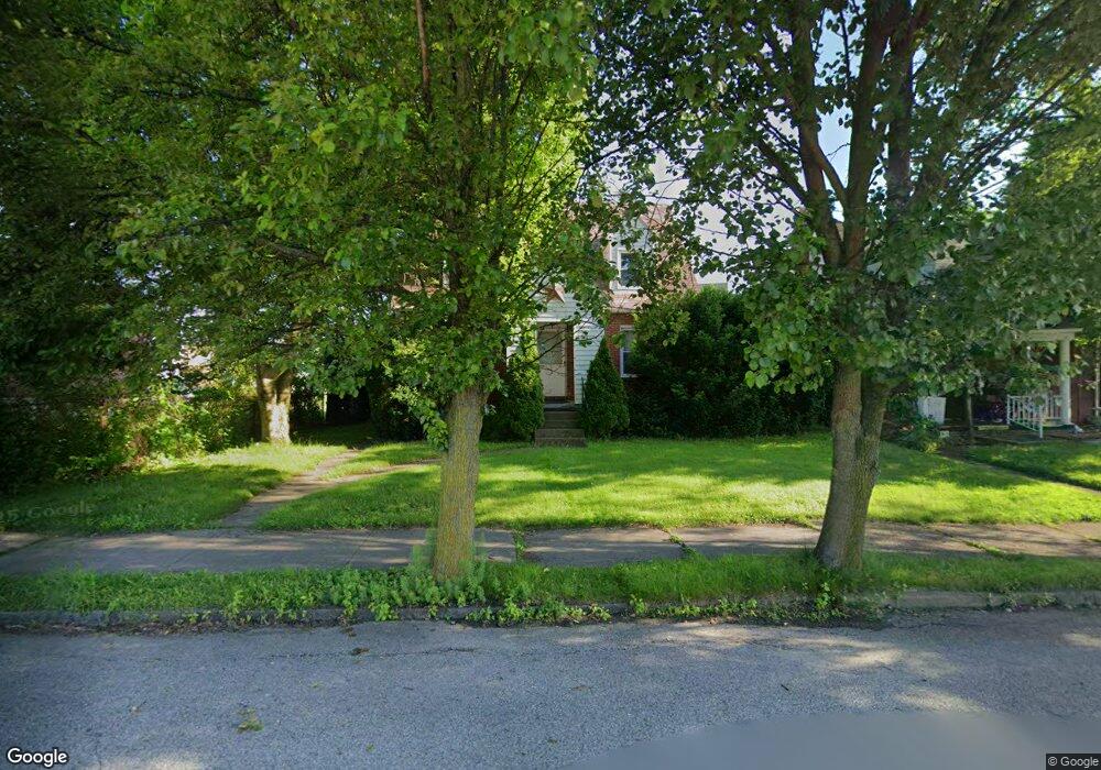
737 Anderson St New Kensington, PA 15068
Estimated Value: $52,569 - $119,000
--
Bed
--
Bath
--
Sq Ft
4,617
Sq Ft Lot
About This Home
This home is located at 737 Anderson St, New Kensington, PA 15068 and is currently estimated at $86,642. 737 Anderson St is a home located in Westmoreland County with nearby schools including Mary Queen of Apostles School.
Ownership History
Date
Name
Owned For
Owner Type
Purchase Details
Closed on
Feb 16, 2024
Sold by
Defelices Guy F and Defelices Patricia G
Bought by
Defelices Guy F
Current Estimated Value
Purchase Details
Closed on
Oct 7, 2019
Sold by
Pivirotto Dana
Bought by
Defelices Guy F and Defelices Patricia G
Purchase Details
Closed on
Oct 17, 2018
Sold by
Felices Cuy F De and Felices Patricia G De
Bought by
Pivirotto Dana and Defelices Family Irrevocable Trust
Create a Home Valuation Report for This Property
The Home Valuation Report is an in-depth analysis detailing your home's value as well as a comparison with similar homes in the area
Home Values in the Area
Average Home Value in this Area
Purchase History
| Date | Buyer | Sale Price | Title Company |
|---|---|---|---|
| Defelices Guy F | -- | None Listed On Document | |
| Defelices Guy F | -- | None Available | |
| Pivirotto Dana | -- | None Available |
Source: Public Records
Tax History Compared to Growth
Tax History
| Year | Tax Paid | Tax Assessment Tax Assessment Total Assessment is a certain percentage of the fair market value that is determined by local assessors to be the total taxable value of land and additions on the property. | Land | Improvement |
|---|---|---|---|---|
| 2025 | $2,227 | $13,950 | $2,740 | $11,210 |
| 2024 | $2,206 | $13,950 | $2,740 | $11,210 |
| 2023 | $2,088 | $13,950 | $2,740 | $11,210 |
| 2022 | $2,024 | $13,950 | $2,740 | $11,210 |
| 2021 | $1,978 | $13,950 | $2,740 | $11,210 |
| 2020 | $1,936 | $13,950 | $2,740 | $11,210 |
| 2019 | $1,887 | $13,950 | $2,740 | $11,210 |
| 2018 | $1,859 | $13,950 | $2,740 | $11,210 |
| 2017 | $1,832 | $13,950 | $2,740 | $11,210 |
| 2016 | $1,832 | $13,950 | $2,740 | $11,210 |
| 2015 | $1,832 | $13,950 | $2,740 | $11,210 |
| 2014 | $1,760 | $13,950 | $2,740 | $11,210 |
Source: Public Records
Map
Nearby Homes
- 159 Freeport Rd
- 168 Short St
- 512 Linden Ave
- 254 Ridge Ave
- 486 McCargo St
- 546 3rd Ave Unit 548
- 414 Argonne Dr
- 445 5th Ave
- 318 Ridge Ave
- 404 Argonne Dr
- Lots 12-14 Ross Ave
- 327 Charles Ave
- 1025 Kenneth Ave
- 357 Keystone Dr
- 324 Main St
- 359 Pershing Dr
- 1117 Forest Ave
- 1725 Pleasant Ave
- 1134 Leishman Ave
- 331-337 4th Ave