737 Arrowhead Dr Mineral Bluff, GA 30559
Estimated Value: $274,117 - $572,000
--
Bed
--
Bath
1,125
Sq Ft
$403/Sq Ft
Est. Value
About This Home
This home is located at 737 Arrowhead Dr, Mineral Bluff, GA 30559 and is currently estimated at $453,029, approximately $402 per square foot. 737 Arrowhead Dr is a home with nearby schools including Fannin County High School.
Ownership History
Date
Name
Owned For
Owner Type
Purchase Details
Closed on
Sep 13, 2000
Sold by
Maddox Randy O and Maddox Sha
Bought by
Maddox Sharon B
Current Estimated Value
Purchase Details
Closed on
Sep 17, 1999
Sold by
Parker Randall and Parker Kri
Bought by
Maddox Randy O and Maddox Sha
Purchase Details
Closed on
Feb 10, 1999
Sold by
Cummins William S
Bought by
Parker Randall and Parker Kri
Purchase Details
Closed on
May 6, 1998
Sold by
Cummins William S
Bought by
Parker Randall and Parker Kri
Purchase Details
Closed on
Jun 1, 1979
Bought by
Cummins William S
Create a Home Valuation Report for This Property
The Home Valuation Report is an in-depth analysis detailing your home's value as well as a comparison with similar homes in the area
Home Values in the Area
Average Home Value in this Area
Purchase History
| Date | Buyer | Sale Price | Title Company |
|---|---|---|---|
| Maddox Sharon B | -- | -- | |
| Maddox Randy O | $10,700 | -- | |
| Parker Randall | -- | -- | |
| Parker Randall | $9,000 | -- | |
| Cummins William S | $9,000 | -- |
Source: Public Records
Tax History Compared to Growth
Tax History
| Year | Tax Paid | Tax Assessment Tax Assessment Total Assessment is a certain percentage of the fair market value that is determined by local assessors to be the total taxable value of land and additions on the property. | Land | Improvement |
|---|---|---|---|---|
| 2024 | $589 | $102,480 | $20,000 | $82,480 |
| 2023 | $742 | $85,536 | $20,000 | $65,536 |
| 2022 | $754 | $87,105 | $20,000 | $67,105 |
| 2021 | $713 | $55,582 | $20,000 | $35,582 |
| 2020 | $726 | $55,582 | $20,000 | $35,582 |
| 2019 | $674 | $49,336 | $13,754 | $35,582 |
| 2018 | $714 | $49,336 | $13,754 | $35,582 |
| 2017 | $880 | $49,722 | $13,754 | $35,968 |
| 2016 | $773 | $48,871 | $13,754 | $35,117 |
| 2015 | $812 | $49,249 | $13,754 | $35,494 |
| 2014 | $839 | $51,070 | $13,754 | $37,316 |
| 2013 | -- | $39,437 | $13,754 | $25,682 |
Source: Public Records
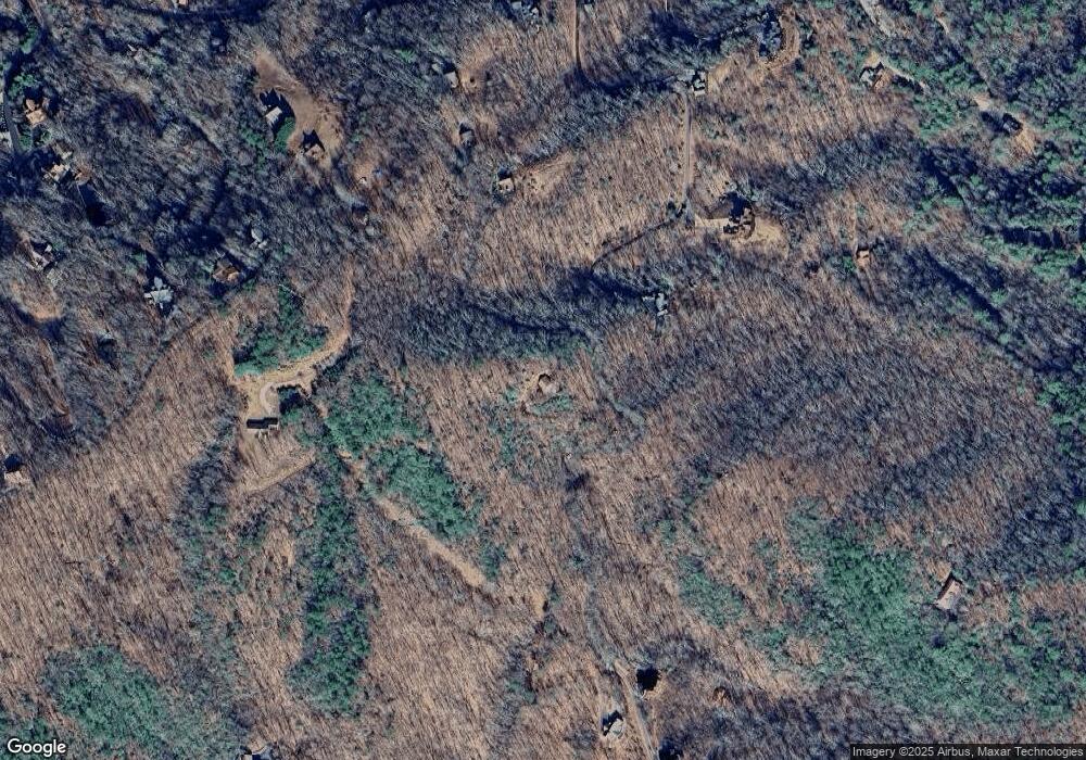
Map
Nearby Homes
- LOT 3- 2.3 ACRE Arrowhead Dr
- Lot 79 Moosilaukee Dr
- 58 Moosilaukee Dr
- 1359 Mountain High Dr
- 300 Katahdin Dr
- 18 Wawayanda Dr
- 1150 Mountain High Dr
- 56 Kennebec Dr
- Lot 13 Rocking Chair Ridge
- Lot 11 Rocking Chair Ridge
- Lot 12 Rocking Chair Ridge
- Lot 5 Rocking Chair Ridge
- Lot 14 Rocking Chair Ridge
- Lot 15 Rocking Chair Ridge
- Lot 4 Rocking Chair Ridge
- Lot 7 Rocking Chair Ridge
- #242 Kittatinny Dr
- 395 Pontoosuc Dr
- 474 Kennebec Dr
- 910 Arrowhead Dr
- 526 Arrowhead Dr
- LOT 9 Sourwood Trail
- 940 Arrowhead Dr
- 405 Kennebec Dr
- 972 Arrowhead Dr
- 411 Rocking Chair Rd
- 207 Mountain High Dr
- 405 Kennebec
- 165 Mountain High Dr
- 1088 Arrowhead Dr
- 436 Arrowhead Dr
- 1092 Arrowhead Dr
- LT Mountain High
- LT 131 Mountain High
- 976 Arrowhead Dr
- 129 Mountain High Trail
- 490 Arrowhead Dr
- 283 Kennebec Dr