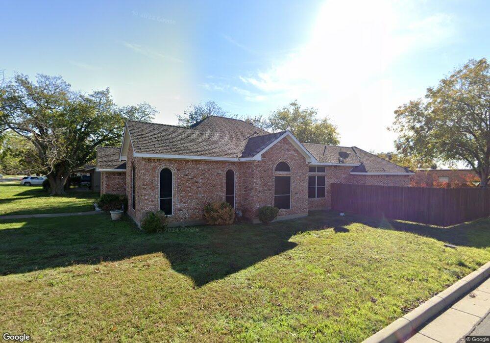
737 Bonham St Grand Prairie, TX 75050
Estimated Value: $292,799 - $325,000
3
Beds
2
Baths
1,643
Sq Ft
$186/Sq Ft
Est. Value
About This Home
This home is located at 737 Bonham St, Grand Prairie, TX 75050 and is currently estimated at $305,700, approximately $186 per square foot. 737 Bonham St is a home located in Dallas County with nearby schools including Crosswinds High School, Delmas Morton Elementary School, and Digital Arts & Technology Academy at Adams Middle.
Ownership History
Date
Name
Owned For
Owner Type
Purchase Details
Closed on
May 10, 2016
Sold by
Jaurequi Gabriel and Jaurequi Sara
Bought by
Jaurequi Gabriel and Jaurequi Sara P
Current Estimated Value
Purchase Details
Closed on
Jun 20, 2011
Sold by
Jaurequi Sara Patricia and Jaurequi Gabriel
Bought by
Jaurequi Gabriel and Jaurequi Sara
Purchase Details
Closed on
Nov 6, 2010
Sold by
Jaurequi Gabriel and Jaurequi Sara
Bought by
Jauregui Sara Patricia and Jauregui Gabriel
Create a Home Valuation Report for This Property
The Home Valuation Report is an in-depth analysis detailing your home's value as well as a comparison with similar homes in the area
Home Values in the Area
Average Home Value in this Area
Purchase History
| Date | Buyer | Sale Price | Title Company |
|---|---|---|---|
| Jaurequi Gabriel | -- | None Available | |
| Jaurequi Gabriel | -- | None Available | |
| Jauregui Sara Patricia | -- | None Available |
Source: Public Records
Tax History Compared to Growth
Tax History
| Year | Tax Paid | Tax Assessment Tax Assessment Total Assessment is a certain percentage of the fair market value that is determined by local assessors to be the total taxable value of land and additions on the property. | Land | Improvement |
|---|---|---|---|---|
| 2025 | $600 | $298,880 | $87,500 | $211,380 |
| 2024 | $600 | $246,540 | $62,500 | $184,040 |
| 2023 | $600 | $246,540 | $62,500 | $184,040 |
| 2022 | $5,738 | $226,190 | $62,500 | $163,690 |
| 2021 | $4,997 | $188,020 | $56,250 | $131,770 |
| 2020 | $5,186 | $183,920 | $56,250 | $127,670 |
| 2019 | $4,483 | $153,450 | $22,500 | $130,950 |
| 2018 | $4,125 | $141,170 | $22,500 | $118,670 |
| 2017 | $4,122 | $141,170 | $22,500 | $118,670 |
| 2016 | $3,473 | $118,960 | $22,500 | $96,460 |
| 2015 | $1,245 | $88,000 | $22,500 | $65,500 |
| 2014 | $1,245 | $88,000 | $22,500 | $65,500 |
Source: Public Records
Map
Nearby Homes
- 505 N Carrier Pkwy
- 1218 W Church St
- 645 NW 10th St
- 1101 Fort Worth St
- 405 SW 6th St
- 1153 College St
- 805 NW 9th St
- 601 Shawnee Trace
- 720 Burleson St
- 226 SW 4th St
- 322 Hill St
- 1202 W Strong Pkwy
- 825 Apache Trace
- 701 SW 5th St
- 2434 Starlight St
- 3682 Zenith Rd
- 1002 Capetown Dr
- 741 NW 14th St
- 1109 Capetown Dr
- 1005 Capetown Dr
- 729 Bonham St
- 801 Bonham St
- 20 Bonham St
- 725 Bonham St
- 805 Bonham St
- 721 Bonham St
- 738 Bonham St
- 734 Bonham St
- 809 Bonham St
- 730 Bonham St
- 717 Bonham St
- 810 Dalworth St Unit A
- 810 Dalwoth Ln
- 726 Bonham St
- 802 Bonham St
- 726 Dalworth St Unit 1000
- 726 Dalworth St
- 726 Dalworth St Unit 1003
- 724 Bonham St
- 713 Bonham St