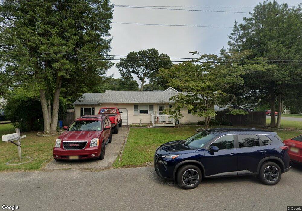
737 Briar Rd Lanoka Harbor, NJ 08734
Lacey Township NeighborhoodEstimated Value: $321,000 - $401,000
3
Beds
2
Baths
1,224
Sq Ft
$295/Sq Ft
Est. Value
About This Home
This home is located at 737 Briar Rd, Lanoka Harbor, NJ 08734 and is currently estimated at $360,805, approximately $294 per square foot. 737 Briar Rd is a home located in Ocean County with nearby schools including Lacey Township High School.
Ownership History
Date
Name
Owned For
Owner Type
Purchase Details
Closed on
Jul 6, 1995
Sold by
Vander Laan E O Jacob
Bought by
Dobransky Bruce and Dobransky Tammy
Current Estimated Value
Home Financials for this Owner
Home Financials are based on the most recent Mortgage that was taken out on this home.
Original Mortgage
$60,000
Interest Rate
7.7%
Create a Home Valuation Report for This Property
The Home Valuation Report is an in-depth analysis detailing your home's value as well as a comparison with similar homes in the area
Home Values in the Area
Average Home Value in this Area
Purchase History
| Date | Buyer | Sale Price | Title Company |
|---|---|---|---|
| Dobransky Bruce | $75,000 | -- |
Source: Public Records
Mortgage History
| Date | Status | Borrower | Loan Amount |
|---|---|---|---|
| Closed | Dobransky Bruce | $60,000 |
Source: Public Records
Tax History Compared to Growth
Tax History
| Year | Tax Paid | Tax Assessment Tax Assessment Total Assessment is a certain percentage of the fair market value that is determined by local assessors to be the total taxable value of land and additions on the property. | Land | Improvement |
|---|---|---|---|---|
| 2025 | $4,739 | $187,000 | $83,500 | $103,500 |
| 2024 | $4,430 | $187,000 | $83,500 | $103,500 |
| 2023 | $4,232 | $187,000 | $83,500 | $103,500 |
| 2022 | $4,232 | $187,000 | $83,500 | $103,500 |
| 2021 | $4,161 | $187,000 | $83,500 | $103,500 |
| 2020 | $4,028 | $187,000 | $83,500 | $103,500 |
| 2019 | $3,957 | $187,000 | $83,500 | $103,500 |
| 2018 | $3,910 | $187,000 | $83,500 | $103,500 |
| 2017 | $3,820 | $187,000 | $83,500 | $103,500 |
| 2016 | $3,805 | $187,000 | $83,500 | $103,500 |
| 2015 | $3,635 | $187,000 | $83,500 | $103,500 |
| 2014 | $3,719 | $216,200 | $113,500 | $102,700 |
Source: Public Records
Map
Nearby Homes
- 27 Cedar Dr
- 202 Cedar Dr
- 203 Walnut Dr
- 214 Laurel Blvd
- 303 Chestnut Dr
- 507 Laurelwood Dr
- 320 Walnut Dr
- 308 Predmore Ave
- 502 Teakwood Dr
- 412 Chestnut Dr
- 406 Hemlock Dr
- 119 Driftwood Ln
- 321 Lawrence Dr
- 20 Bay Way
- 510 Dugout Dr
- 421 Laurel Blvd
- 114 Forrest Ave
- 0 Bay Way Unit 22522675
- 15 Jacqueline Ct
- 689 Lake Barnegat Dr N