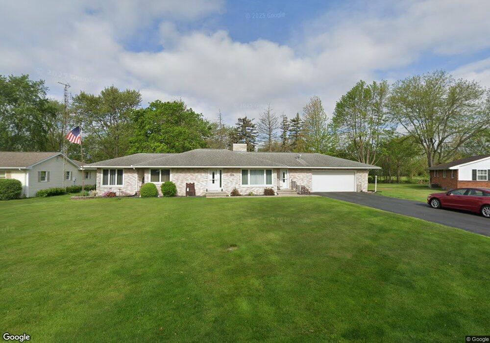
737 Fairlane Dr Delphos, OH 45833
Estimated Value: $241,895 - $317,000
3
Beds
2
Baths
1,814
Sq Ft
$155/Sq Ft
Est. Value
About This Home
This home is located at 737 Fairlane Dr, Delphos, OH 45833 and is currently estimated at $280,724, approximately $154 per square foot. 737 Fairlane Dr is a home located in Allen County with nearby schools including Delphos St. John's High School and Delphos St. John's Elementary School.
Ownership History
Date
Name
Owned For
Owner Type
Purchase Details
Closed on
Dec 27, 2018
Sold by
Haunhorst Todd and Haunhorst Trisha
Bought by
Haunhorst Todd and Haunhorst Trisha
Current Estimated Value
Purchase Details
Closed on
Oct 18, 2010
Sold by
Youngpeter Loyola and Deffenbaugh Joseph P
Bought by
Haunhorst Todd and Haunhorst Trisha
Home Financials for this Owner
Home Financials are based on the most recent Mortgage that was taken out on this home.
Original Mortgage
$101,600
Outstanding Balance
$66,909
Interest Rate
4.31%
Mortgage Type
Purchase Money Mortgage
Estimated Equity
$213,815
Purchase Details
Closed on
Dec 31, 1991
Bought by
Deffenbaugh A James
Create a Home Valuation Report for This Property
The Home Valuation Report is an in-depth analysis detailing your home's value as well as a comparison with similar homes in the area
Home Values in the Area
Average Home Value in this Area
Purchase History
| Date | Buyer | Sale Price | Title Company |
|---|---|---|---|
| Haunhorst Todd | -- | None Available | |
| Haunhorst Todd | $127,000 | Attorney | |
| Deffenbaugh A James | -- | -- |
Source: Public Records
Mortgage History
| Date | Status | Borrower | Loan Amount |
|---|---|---|---|
| Open | Haunhorst Todd | $101,600 |
Source: Public Records
Tax History
| Year | Tax Paid | Tax Assessment Tax Assessment Total Assessment is a certain percentage of the fair market value that is determined by local assessors to be the total taxable value of land and additions on the property. | Land | Improvement |
|---|---|---|---|---|
| 2024 | $2,009 | $65,240 | $14,070 | $51,170 |
| 2023 | $1,762 | $54,360 | $11,730 | $42,630 |
| 2022 | $1,806 | $54,360 | $11,730 | $42,630 |
| 2021 | $1,815 | $54,360 | $11,730 | $42,630 |
| 2020 | $1,545 | $48,340 | $11,060 | $37,280 |
| 2019 | $1,545 | $48,340 | $11,060 | $37,280 |
| 2018 | $1,543 | $48,340 | $11,060 | $37,280 |
| 2017 | $1,514 | $46,620 | $11,060 | $35,560 |
| 2016 | $1,527 | $46,620 | $11,060 | $35,560 |
| 2015 | $1,447 | $46,620 | $11,060 | $35,560 |
| 2014 | $1,447 | $43,690 | $10,610 | $33,080 |
| 2013 | $1,451 | $43,690 | $10,610 | $33,080 |
Source: Public Records
Map
Nearby Homes
- 628 N Pierce St
- 821 E 3rd St
- 610 N Washington St
- 201 E 5th St
- 702 N Main St
- 1000 Colettas Way
- 221 S Main St
- 537 / 539 Toomey
- 424 S Canal St
- 483 S Franklin St
- 709 W 4th St
- 827 S Washington St
- 6800 N Defiance Trail
- 8448 Elida Rd
- 180 3rd St
- 608 N Adams St
- 9750 Middle Point Rd
- 3755 Grubb Rd N
- 0 N Conant Rd
- 19195 State Rd
Your Personal Tour Guide
Ask me questions while you tour the home.