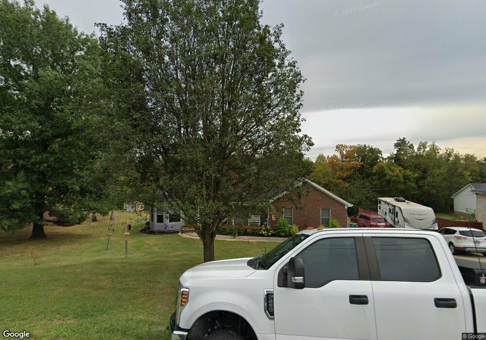
737 Floyds Fork Dr Shepherdsville, KY 40165
Estimated Value: $366,000 - $381,000
3
Beds
2
Baths
1,613
Sq Ft
$231/Sq Ft
Est. Value
About This Home
This home is located at 737 Floyds Fork Dr, Shepherdsville, KY 40165 and is currently estimated at $372,124, approximately $230 per square foot. 737 Floyds Fork Dr is a home located in Bullitt County with nearby schools including Freedom Elementary School, Hebron Middle School, and North Bullitt High School.
Ownership History
Date
Name
Owned For
Owner Type
Purchase Details
Closed on
Sep 27, 2021
Sold by
Riggs and Rhonda
Bought by
Robinette Amanda M and Robinette Jeremy W
Current Estimated Value
Home Financials for this Owner
Home Financials are based on the most recent Mortgage that was taken out on this home.
Original Mortgage
$294,950
Outstanding Balance
$268,967
Interest Rate
2.8%
Mortgage Type
New Conventional
Estimated Equity
$103,157
Create a Home Valuation Report for This Property
The Home Valuation Report is an in-depth analysis detailing your home's value as well as a comparison with similar homes in the area
Home Values in the Area
Average Home Value in this Area
Purchase History
| Date | Buyer | Sale Price | Title Company |
|---|---|---|---|
| Robinette Amanda M | $347,000 | Mattingly Ford Title |
Source: Public Records
Mortgage History
| Date | Status | Borrower | Loan Amount |
|---|---|---|---|
| Open | Robinette Amanda M | $294,950 |
Source: Public Records
Tax History Compared to Growth
Tax History
| Year | Tax Paid | Tax Assessment Tax Assessment Total Assessment is a certain percentage of the fair market value that is determined by local assessors to be the total taxable value of land and additions on the property. | Land | Improvement |
|---|---|---|---|---|
| 2024 | $2,677 | $230,088 | $60,000 | $170,088 |
| 2023 | $2,659 | $230,088 | $0 | $230,088 |
| 2022 | $2,687 | $230,088 | $0 | $230,088 |
| 2021 | $2,224 | $230,088 | $0 | $0 |
| 2020 | $2,234 | $230,088 | $0 | $0 |
| 2019 | $2,198 | $194,602 | $0 | $0 |
| 2018 | $2,242 | $194,602 | $0 | $0 |
| 2017 | $2,209 | $194,602 | $0 | $0 |
| 2016 | $2,170 | $194,602 | $0 | $0 |
| 2015 | $2,065 | $194,602 | $0 | $0 |
| 2014 | $1,923 | $194,602 | $0 | $0 |
Source: Public Records
Map
Nearby Homes
- 887 Floyds Fork Dr
- 310 Christman Ln Unit B
- 188 Columbia Ln
- 153 Spring Farm Trail
- 392 Gentry Ln
- 355 Rockwood Ln
- 234 Gentry Ln
- 310 Minnie Ln
- Lot 15 Wray Dr
- Lot 8 Wray Dr
- Lot 3 Wray Dr
- Lot 2 Wray Dr
- Lot 1 Wray Dr
- Lot 10 Wray Dr
- 278 Berger Farm Dr
- 234 London Square
- 310 Lentz Ln
- 346 London Square
- Breckenridge Plan at Bethel Springs - Maple Street Collections
- Fairfax Plan at Bethel Springs - Maple Street Collections
- 751 Floyds Fork Dr
- 717 Floyds Fork Dr
- 726 Floyds Fork Dr
- 773 Floyds Fork Dr
- 679 Floyds Fork Dr
- 754 Floyds Fork Rd
- 754 Floyds Fork Dr
- 698 Floyds Fork Dr
- 791 Floyds Fork Rd
- 796 Floyds Fork Dr
- 791 Floyds Fork Dr
- 662 Floyds Fork Dr
- 639 Floyds Fork Dr
- 160 Derek Rd
- 137 Derek Rd
- 824 Floyds Fork Dr
- 180 Derek Rd
- 626 Floyds Fork Dr
- 617 Floyds Fork Dr
- 175 Derek Rd