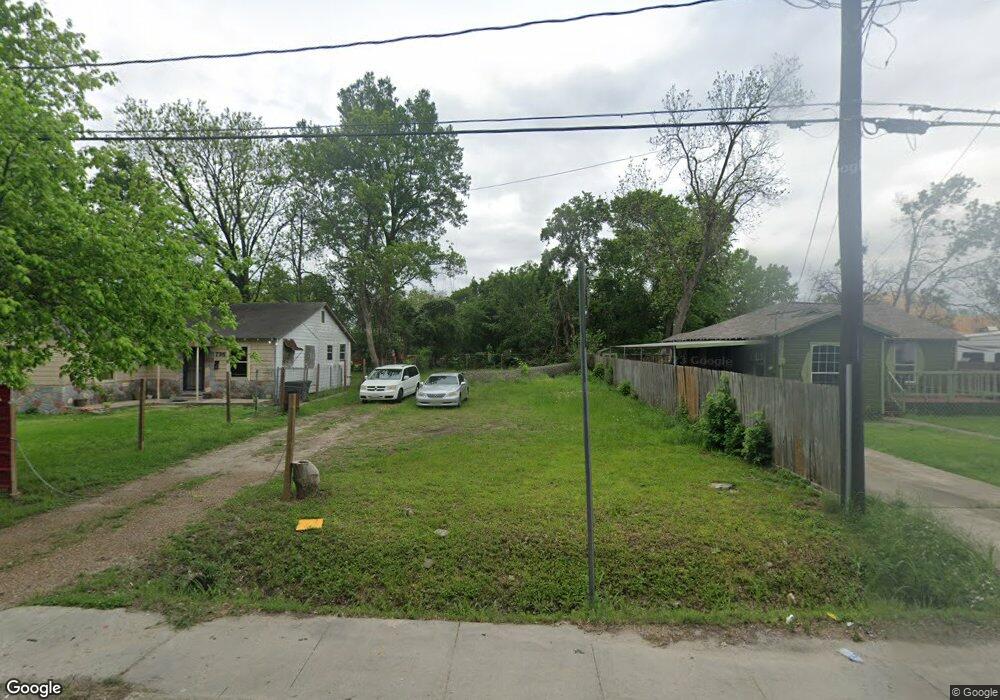
737 Granville Dr Houston, TX 77091
Acres Homes NeighborhoodEstimated Value: $48,753 - $259,000
--
Bed
--
Bath
--
Sq Ft
7,405
Sq Ft Lot
About This Home
This home is located at 737 Granville Dr, Houston, TX 77091 and is currently estimated at $156,688. 737 Granville Dr is a home located in Harris County with nearby schools including Wesley Elementary School, Williams Middle, and Booker T Washington Sr High.
Ownership History
Date
Name
Owned For
Owner Type
Purchase Details
Closed on
Aug 20, 2014
Sold by
Young Allen
Bought by
Secure Construction Llc
Current Estimated Value
Home Financials for this Owner
Home Financials are based on the most recent Mortgage that was taken out on this home.
Original Mortgage
$5,000
Interest Rate
4.19%
Mortgage Type
Purchase Money Mortgage
Purchase Details
Closed on
Feb 23, 2009
Sold by
Truitt F A and Truitt Helen
Bought by
County Of Harris and City Of Houston
Create a Home Valuation Report for This Property
The Home Valuation Report is an in-depth analysis detailing your home's value as well as a comparison with similar homes in the area
Home Values in the Area
Average Home Value in this Area
Purchase History
| Date | Buyer | Sale Price | Title Company |
|---|---|---|---|
| Secure Construction Llc | -- | Stewart Title | |
| County Of Harris | -- | None Available |
Source: Public Records
Mortgage History
| Date | Status | Borrower | Loan Amount |
|---|---|---|---|
| Closed | Secure Construction Llc | $5,000 |
Source: Public Records
Tax History Compared to Growth
Tax History
| Year | Tax Paid | Tax Assessment Tax Assessment Total Assessment is a certain percentage of the fair market value that is determined by local assessors to be the total taxable value of land and additions on the property. | Land | Improvement |
|---|---|---|---|---|
| 2025 | $1,450 | $69,280 | $69,280 | -- |
| 2024 | $1,450 | $69,280 | $69,280 | -- |
| 2023 | $1,450 | $69,280 | $69,280 | $0 |
| 2022 | $819 | $37,175 | $37,175 | $0 |
| 2021 | $788 | $33,795 | $33,795 | $0 |
| 2020 | $655 | $27,036 | $27,036 | $0 |
| 2019 | $257 | $10,139 | $10,139 | $0 |
| 2018 | $257 | $10,139 | $10,139 | $0 |
| 2017 | $256 | $10,139 | $10,139 | $0 |
| 2016 | $256 | $10,139 | $10,139 | $0 |
| 2015 | $154 | $6,008 | $6,008 | $0 |
| 2014 | $154 | $6,008 | $6,008 | $0 |
Source: Public Records
Map
Nearby Homes
- 741 Granville Dr
- 6220 De Priest St
- 862 Granville Dr
- 7014 De Priest St
- 814 Granville Dr
- 775 Rittenhouse St
- 0 Lovers Ln Unit 36585920
- 872 Granville Dr
- 747 W Rittenhouse Rd
- 834 Green Meadow Ln
- 859 W Rittenhouse St
- 855 W Little York Rd
- 748 Millville Dr
- 843 Lovers Ln
- 740 Millville Dr
- 872 Lovers Ln
- 899 W Little York Rd
- 0 De Priest St Unit 66567963
- 715 W Rittenhouse Rd
- 6730 Knox St Unit A
- 6922 De Priest St
- 801 Granville Dr
- 7007 De Priest St
- 795 Granville Dr
- 6922 De Priest St
- 806 Granville Dr
- 793 Granville Dr
- 809 Granville Dr
- 788 Granville Dr
- 812 Granville Dr
- 791 Granville Dr
- 7013 De Priest St
- 813 Granville Dr
- 786 Granville Dr
- 796 Dillard St
- 806 Dillard St
- 793 W Rittenhouse Rd
- 815 W Rittenhouse Rd
- 797 W Rittenhouse Rd
- 794 Dillard St