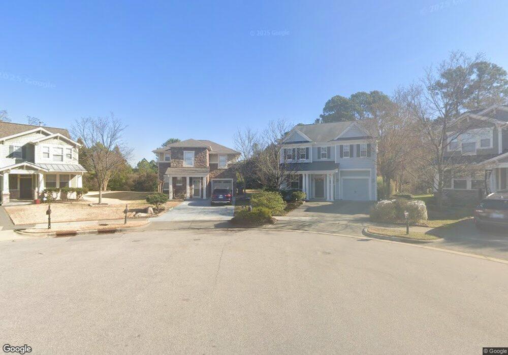
737 Hewespoint Ct Cary, NC 27519
Twin Lakes NeighborhoodEstimated Value: $547,000 - $642,000
4
Beds
3
Baths
2,082
Sq Ft
$285/Sq Ft
Est. Value
About This Home
This home is located at 737 Hewespoint Ct, Cary, NC 27519 and is currently estimated at $593,652, approximately $285 per square foot. 737 Hewespoint Ct is a home located in Wake County with nearby schools including Cedar Fork Elementary, West Cary Middle School, and Panther Creek High School.
Ownership History
Date
Name
Owned For
Owner Type
Purchase Details
Closed on
Jul 30, 2018
Sold by
Jafan Mohammad Reza and Talebi Zohrch Asghrzadeh
Bought by
Reddy Venkat Phanibhushan and Bendagwati Inkumnaro
Current Estimated Value
Home Financials for this Owner
Home Financials are based on the most recent Mortgage that was taken out on this home.
Original Mortgage
$352,838
Outstanding Balance
$307,094
Interest Rate
4.6%
Mortgage Type
New Conventional
Estimated Equity
$286,558
Purchase Details
Closed on
Dec 28, 2009
Sold by
Jafari Mohammad Reza
Bought by
Jafari Mohammad Reza and Talebi Zohreh Asgharzadeh
Purchase Details
Closed on
Jan 25, 2008
Sold by
Kb Home Raleigh Durham Inc
Bought by
Jafari Mohammad Reza
Home Financials for this Owner
Home Financials are based on the most recent Mortgage that was taken out on this home.
Original Mortgage
$220,700
Interest Rate
5.77%
Mortgage Type
Purchase Money Mortgage
Create a Home Valuation Report for This Property
The Home Valuation Report is an in-depth analysis detailing your home's value as well as a comparison with similar homes in the area
Home Values in the Area
Average Home Value in this Area
Purchase History
| Date | Buyer | Sale Price | Title Company |
|---|---|---|---|
| Reddy Venkat Phanibhushan | $364,000 | None Available | |
| Jafari Mohammad Reza | -- | None Available | |
| Jafari Mohammad Reza | $276,000 | None Available |
Source: Public Records
Mortgage History
| Date | Status | Borrower | Loan Amount |
|---|---|---|---|
| Open | Reddy Venkat Phanibhushan | $352,838 | |
| Previous Owner | Jafari Mohammad Reza | $220,700 |
Source: Public Records
Tax History Compared to Growth
Tax History
| Year | Tax Paid | Tax Assessment Tax Assessment Total Assessment is a certain percentage of the fair market value that is determined by local assessors to be the total taxable value of land and additions on the property. | Land | Improvement |
|---|---|---|---|---|
| 2025 | $4,592 | $533,412 | $180,000 | $353,412 |
| 2024 | $4,493 | $533,412 | $180,000 | $353,412 |
| 2023 | $3,543 | $351,552 | $95,000 | $256,552 |
| 2022 | $3,411 | $351,552 | $95,000 | $256,552 |
| 2021 | $3,342 | $351,552 | $95,000 | $256,552 |
| 2020 | $3,360 | $351,552 | $95,000 | $256,552 |
| 2019 | $3,029 | $281,056 | $70,000 | $211,056 |
| 2018 | $0 | $279,651 | $70,000 | $209,651 |
| 2017 | $2,719 | $279,651 | $70,000 | $209,651 |
| 2016 | $2,678 | $279,651 | $70,000 | $209,651 |
| 2015 | $2,424 | $244,152 | $52,000 | $192,152 |
| 2014 | $2,286 | $244,152 | $52,000 | $192,152 |
Source: Public Records
Map
Nearby Homes
- 3155 Rapid Falls Rd
- 784 Newstead Way
- 3224 Rapid Falls Rd
- 1001 Kelnor Ct
- 532 Front Ridge Dr
- 501 Tranquil Sound Dr
- 732 Suffield Way
- 202 Governors House Dr
- 716 Pierside Dr
- 111 Governors House Dr
- 204 Concordia Woods Dr
- 605 Courthouse Dr
- 142 Brentfield Loop
- 0 Lot 2 Church St
- 0 Lot 1 Church St
- 0 Lot 5 Church St
- 0 Lot 6 Church St
- 0 Lot 4 Church St
- 1012 Fulbright Dr
- 234 Linden Park Ln
- 728 Hewespoint Ct
- 733 Hewespoint Ct
- 724 Hewespoint Ct
- 729 Hewespoint Ct
- 712 Hewespoint Ct
- 725 Hewespoint Ct
- 340 New Milford Rd
- 336 New Milford Rd
- 708 Hewespoint Ct
- 721 Hewespoint Ct
- 332 New Milford Rd
- 328 New Milford Rd
- 717 Hewespoint Ct
- 704 Hewespoint Ct
- 324 New Milford Rd
- 976 Justice Walk Ave
- 713 Hewespoint Ct
- 320 New Milford Rd
- 980 Justice Walk Ave
- 964 Justice Walk Ave