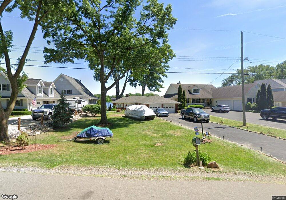
737 Laguna Dr Wolverine Lake, MI 48390
Estimated Value: $317,000 - $525,000
2
Beds
1
Bath
1,363
Sq Ft
$307/Sq Ft
Est. Value
About This Home
This home is located at 737 Laguna Dr, Wolverine Lake, MI 48390 and is currently estimated at $418,887, approximately $307 per square foot. 737 Laguna Dr is a home located in Oakland County with nearby schools including Loon Lake Elementary School, Sarah G. Banks Middle School, and Walled Lake Central High School.
Ownership History
Date
Name
Owned For
Owner Type
Purchase Details
Closed on
Oct 11, 2023
Sold by
Baker Dwight N
Bought by
Dwight N Baker Jr Trust and Baker
Current Estimated Value
Purchase Details
Closed on
May 29, 1998
Sold by
Blankenship John R
Bought by
Baker Dwight N
Home Financials for this Owner
Home Financials are based on the most recent Mortgage that was taken out on this home.
Original Mortgage
$198,750
Interest Rate
7.15%
Create a Home Valuation Report for This Property
The Home Valuation Report is an in-depth analysis detailing your home's value as well as a comparison with similar homes in the area
Home Values in the Area
Average Home Value in this Area
Purchase History
| Date | Buyer | Sale Price | Title Company |
|---|---|---|---|
| Dwight N Baker Jr Trust | -- | None Listed On Document | |
| Baker Dwight N | -- | -- | |
| Baker Dwight M | -- | -- |
Source: Public Records
Mortgage History
| Date | Status | Borrower | Loan Amount |
|---|---|---|---|
| Previous Owner | Baker Dwight M | $198,750 |
Source: Public Records
Tax History Compared to Growth
Tax History
| Year | Tax Paid | Tax Assessment Tax Assessment Total Assessment is a certain percentage of the fair market value that is determined by local assessors to be the total taxable value of land and additions on the property. | Land | Improvement |
|---|---|---|---|---|
| 2024 | $4,379 | $221,210 | $0 | $0 |
| 2023 | $4,153 | $209,240 | $0 | $0 |
| 2022 | $4,952 | $192,420 | $0 | $0 |
| 2021 | $4,851 | $183,860 | $0 | $0 |
| 2020 | $3,986 | $174,430 | $0 | $0 |
| 2019 | $3,284 | $160,070 | $0 | $0 |
| 2018 | $4,600 | $153,120 | $0 | $0 |
| 2017 | $4,533 | $153,120 | $0 | $0 |
| 2016 | $4,481 | $146,800 | $0 | $0 |
| 2015 | -- | $134,090 | $0 | $0 |
| 2014 | -- | $122,030 | $0 | $0 |
| 2011 | -- | $108,400 | $0 | $0 |
Source: Public Records
Map
Nearby Homes
- 822 Manzano Dr
- 2687 Los Angeles Dr
- 2323 Solano Dr
- 2370 Roselawn St
- Parcel "B" Log Cabin Dr
- 2436 Woodlawn St
- 826 Wolverine Dr
- 2551 Oakview Dr
- 2802 Captains Cove
- 2160 Newport Ct
- 2145 Helmsford Dr
- 275 Angola St
- 2159 Helmsford Dr
- 3010 Fisher Ave
- 853 Adelaide Dr
- 2230 Briar Ridge
- 688 Wolverine Dr
- 3054 Brisbane St
- 1747 Shankin Dr
- 2903 Woodbury St