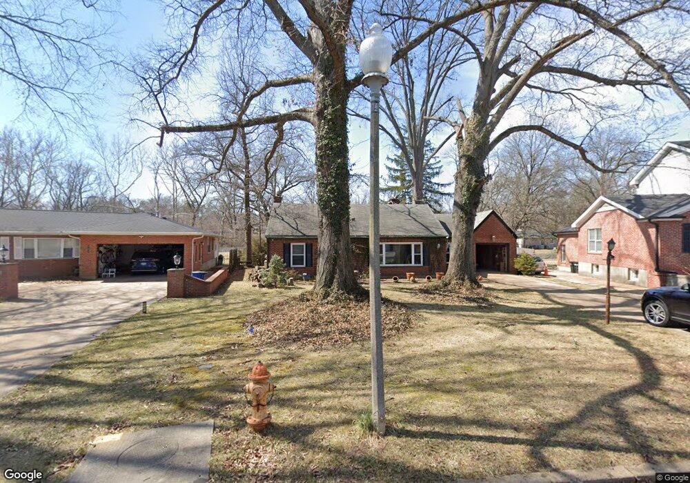
737 Langton Dr Saint Louis, MO 63105
Downtown Clayton NeighborhoodEstimated Value: $392,328 - $528,000
2
Beds
1
Bath
1,670
Sq Ft
$271/Sq Ft
Est. Value
About This Home
This home is located at 737 Langton Dr, Saint Louis, MO 63105 and is currently estimated at $452,332, approximately $270 per square foot. 737 Langton Dr is a home located in St. Louis County with nearby schools including Meramec Elementary, Wydown Middle School, and Clayton High School.
Ownership History
Date
Name
Owned For
Owner Type
Purchase Details
Closed on
Feb 25, 2006
Sold by
Carnahan Donald Dean
Bought by
Postolache Nicu and Postolache Marilena
Current Estimated Value
Home Financials for this Owner
Home Financials are based on the most recent Mortgage that was taken out on this home.
Original Mortgage
$200,000
Outstanding Balance
$112,525
Interest Rate
6.19%
Mortgage Type
Fannie Mae Freddie Mac
Estimated Equity
$339,807
Create a Home Valuation Report for This Property
The Home Valuation Report is an in-depth analysis detailing your home's value as well as a comparison with similar homes in the area
Home Values in the Area
Average Home Value in this Area
Purchase History
| Date | Buyer | Sale Price | Title Company |
|---|---|---|---|
| Postolache Nicu | $250,000 | None Available |
Source: Public Records
Mortgage History
| Date | Status | Borrower | Loan Amount |
|---|---|---|---|
| Open | Postolache Nicu | $200,000 |
Source: Public Records
Tax History
| Year | Tax Paid | Tax Assessment Tax Assessment Total Assessment is a certain percentage of the fair market value that is determined by local assessors to be the total taxable value of land and additions on the property. | Land | Improvement |
|---|---|---|---|---|
| 2025 | $4,445 | $74,440 | $55,250 | $19,190 |
| 2024 | $4,445 | $65,080 | $41,440 | $23,640 |
| 2023 | $4,440 | $65,080 | $41,440 | $23,640 |
| 2022 | $4,386 | $60,820 | $46,190 | $14,630 |
| 2021 | $4,371 | $60,820 | $46,190 | $14,630 |
| 2020 | $4,602 | $62,050 | $49,340 | $12,710 |
| 2019 | $4,540 | $62,050 | $49,340 | $12,710 |
| 2018 | $3,698 | $51,360 | $35,890 | $15,470 |
| 2017 | $3,674 | $51,360 | $35,890 | $15,470 |
| 2016 | $3,538 | $47,100 | $25,120 | $21,980 |
Source: Public Records
Map
Nearby Homes
- 808 Wenneker Dr
- 8124 Roxburgh Dr Unit 1E, 1W, 2E, 2W
- 8110 Roxburgh Dr
- 411 Tanglewood Dr
- 8033 Seminole Place
- 250 S Brentwood Blvd Unit 1H
- 9028 McKnight Woods Ln
- 9017 Greenridge Dr
- 7801 Davis Dr
- 200 S Brentwood Blvd Unit 2C
- 200 S Brentwood Blvd Unit 2F
- 12 Ladue Manor
- 9033 Greenridge Dr
- 1034 E Linden Ave Unit 1034
- 4 Ridgewood St
- 1087 E Linden Ave
- 10 Brighton Way Unit 1
- 665 W Polo Dr
- 40 Brighton Way Unit 2N
- 8 Ridgewood St
- 735 Langton Dr
- 741 Langton Dr
- 729 Langton Dr
- 853 Wenneker Dr
- 8148 Halifax Dr
- 840 Wenneker Dr
- 8145 Halifax Dr
- 725 Langton Dr
- 8140 Colmar Dr
- 8142 Halifax Dr
- 832 Wenneker Dr
- 8141 Halifax Dr
- 847 Wenneker Dr
- 8435 Louwen Dr
- 6 Haddington Ct
- 8138 Halifax Dr
- 8132 Colmar Dr
- 717 Langton Dr
- 839 Wenneker Dr
- 824 Wenneker Dr
Your Personal Tour Guide
Ask me questions while you tour the home.