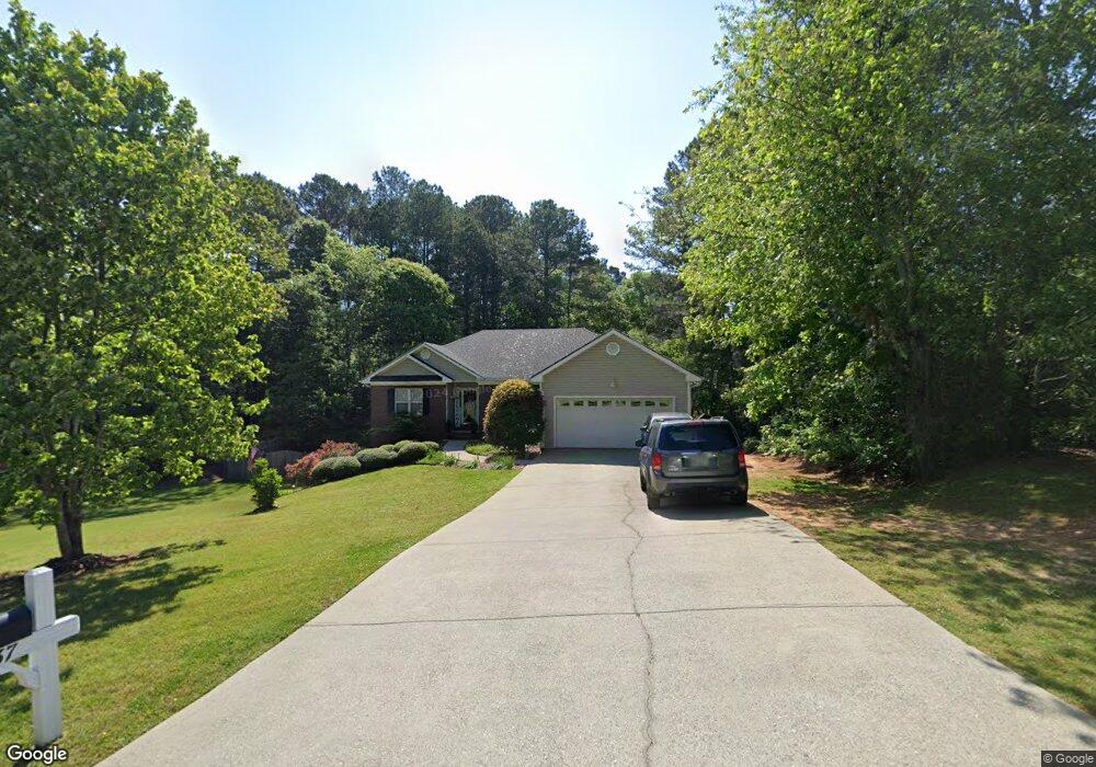
737 Michael Dr Winder, GA 30680
Estimated Value: $347,000 - $382,000
3
Beds
2
Baths
1,768
Sq Ft
$207/Sq Ft
Est. Value
About This Home
This home is located at 737 Michael Dr, Winder, GA 30680 and is currently estimated at $366,468, approximately $207 per square foot. 737 Michael Dr is a home located in Barrow County with nearby schools including County Line Elementary School, Russell Middle School, and Winder-Barrow High School.
Ownership History
Date
Name
Owned For
Owner Type
Purchase Details
Closed on
Aug 1, 2001
Sold by
D & R Development
Bought by
Wright Robert and Wright Heather
Current Estimated Value
Home Financials for this Owner
Home Financials are based on the most recent Mortgage that was taken out on this home.
Original Mortgage
$137,000
Interest Rate
7.09%
Mortgage Type
New Conventional
Purchase Details
Closed on
Jul 16, 1996
Bought by
D & R Development In
Create a Home Valuation Report for This Property
The Home Valuation Report is an in-depth analysis detailing your home's value as well as a comparison with similar homes in the area
Home Values in the Area
Average Home Value in this Area
Purchase History
| Date | Buyer | Sale Price | Title Company |
|---|---|---|---|
| Wright Robert | $25,000 | -- | |
| D & R Development In | -- | -- |
Source: Public Records
Mortgage History
| Date | Status | Borrower | Loan Amount |
|---|---|---|---|
| Closed | Wright Robert | $137,000 |
Source: Public Records
Tax History Compared to Growth
Tax History
| Year | Tax Paid | Tax Assessment Tax Assessment Total Assessment is a certain percentage of the fair market value that is determined by local assessors to be the total taxable value of land and additions on the property. | Land | Improvement |
|---|---|---|---|---|
| 2024 | $2,792 | $126,810 | $27,200 | $99,610 |
| 2023 | $2,376 | $127,210 | $27,200 | $100,010 |
| 2022 | $2,655 | $103,363 | $20,000 | $83,363 |
| 2021 | $2,267 | $81,615 | $16,400 | $65,215 |
| 2020 | $2,136 | $76,222 | $13,600 | $62,622 |
| 2019 | $2,107 | $73,630 | $13,600 | $60,030 |
| 2018 | $1,957 | $68,445 | $13,600 | $54,845 |
| 2017 | $1,718 | $59,017 | $13,600 | $45,417 |
| 2016 | $1,667 | $57,598 | $16,000 | $41,598 |
| 2015 | $1,675 | $57,598 | $16,000 | $41,598 |
| 2014 | $1,466 | $49,514 | $7,448 | $42,066 |
| 2013 | -- | $46,862 | $7,448 | $39,414 |
Source: Public Records
Map
Nearby Homes
- 615 Wellington Dr
- The Paisley Plan at Rockwell Farms
- The Rockwell Plan at Rockwell Farms
- The Barnes Plan at Rockwell Farms
- The Reynolds Plan at Rockwell Farms
- The Austin Plan at Rockwell Farms
- The Logan Plan at Rockwell Farms
- The Rose II Plan at Rockwell Farms
- 980 Lake Rockwell Way
- 412 Regan Dr
- 746 Baskins Cir
- 0 Mulberry Cir Unit 10647438
- 731 Lincoln Dr
- 926 Live Oak Ct Unit 2
- 563 Rockwell Church Rd NW
- 137 New Cut Rd
- 318 Ryan Rd
- 0 Mulberry Trail Unit 7684364
- 0 Gainesville Hwy Unit 10549985
- 27 Creekside Dr
- 741 Michael Dr
- 753 Michael Dr Unit 1
- 232 Alanna Ave Unit 1
- 234 Alanna Ave
- 755 Michael Dr Unit 1
- 738 Michael Dr Unit 18
- 738 Michael Dr
- 236 Alanna Ave
- 740 Michael Dr Unit 1
- 736 Michael Dr Unit 1
- 742 Michael Dr
- 734 Michael Dr
- 759 Michael Dr
- 752 Michael Dr Unit 24
- 752 Michael Dr
- 750 Michael Dr
- 750 Michael Dr Unit 1
- 233 Alanna Ave
- 754 Michael Dr
- 240 Alanna Ave Unit 2