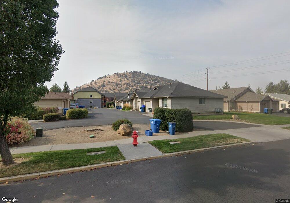
737 NE Savannah Dr Bend, OR 97701
Mountain View NeighborhoodEstimated Value: $1,044,000 - $1,096,000
4
Beds
4
Baths
3,198
Sq Ft
$335/Sq Ft
Est. Value
About This Home
This home is located at 737 NE Savannah Dr, Bend, OR 97701 and is currently estimated at $1,070,000, approximately $334 per square foot. 737 NE Savannah Dr is a home located in Deschutes County with nearby schools including Juniper Elementary School, Bend Senior High School, and Eastmont Community School.
Ownership History
Date
Name
Owned For
Owner Type
Purchase Details
Closed on
Nov 30, 2010
Sold by
Perrine Garrith D and Perrine Linnea L
Bought by
Perrine Garrith D and Perrine Linnea L
Current Estimated Value
Home Financials for this Owner
Home Financials are based on the most recent Mortgage that was taken out on this home.
Original Mortgage
$169,500
Interest Rate
4.18%
Mortgage Type
New Conventional
Create a Home Valuation Report for This Property
The Home Valuation Report is an in-depth analysis detailing your home's value as well as a comparison with similar homes in the area
Home Values in the Area
Average Home Value in this Area
Purchase History
| Date | Buyer | Sale Price | Title Company |
|---|---|---|---|
| Perrine Garrith D | -- | Amerititle |
Source: Public Records
Mortgage History
| Date | Status | Borrower | Loan Amount |
|---|---|---|---|
| Closed | Perrine Garrith D | $169,500 |
Source: Public Records
Tax History Compared to Growth
Tax History
| Year | Tax Paid | Tax Assessment Tax Assessment Total Assessment is a certain percentage of the fair market value that is determined by local assessors to be the total taxable value of land and additions on the property. | Land | Improvement |
|---|---|---|---|---|
| 2025 | $7,381 | $436,820 | -- | -- |
| 2024 | $7,101 | $424,100 | -- | -- |
| 2023 | $6,583 | $411,750 | $0 | $0 |
| 2022 | $6,141 | $388,120 | $0 | $0 |
| 2021 | $6,151 | $376,820 | $0 | $0 |
| 2020 | $5,835 | $376,820 | $0 | $0 |
| 2019 | $5,673 | $365,850 | $0 | $0 |
| 2018 | $5,513 | $355,200 | $0 | $0 |
| 2017 | $5,351 | $344,860 | $0 | $0 |
| 2016 | $5,103 | $334,820 | $0 | $0 |
| 2015 | $4,962 | $325,070 | $0 | $0 |
| 2014 | $4,782 | $315,610 | $0 | $0 |
Source: Public Records
Map
Nearby Homes
- 940 NE Purcell Blvd
- 1072 NE Parkview Ct
- 940 NE Paula Dr Unit 21
- 21019 Carl St
- 62001 NE Nates Place
- 98 NE Telima Ln
- 1767 NE Lotus Dr Unit 1 and 2
- 1419 NE Lucinda Ct
- 1687 NE Lotus Dr
- 1188 NE 27th St Unit 71
- 1188 NE 27th St Unit 19
- 1188 NE 27th St Unit 82
- 61969 SE 27th St
- 1297 NE Dawson Dr Unit A&B
- 2876 NE Forum Dr
- 1622 NE Parkridge Dr
- 608 NE 10th St
- 1630 NE 13th St
- 61635 Pettigrew Rd Unit 12
- 21489 Oconnor Way Unit 17
- 709 NE Savannah Dr
- 751 NE Savannah Dr
- 0 NE Savannah Dr
- 542 NE Savannah Dr
- 689 NE Savannah Dr
- 773 NE Savannah Dr
- 726 NE Savannah Dr
- 744 NE Savannah Dr
- 714 NE Savannah Dr
- 2086 NE Linnea Dr
- 696 NE Savannah Dr
- 2122 NE Linnea Dr
- 2104 NE Linnea Dr
- 787 NE Savannah Dr
- 760 NE Savannah Dr
- 680 NE Savannah Dr
- 782 NE Savannah Dr
- 819 NE Savannah Dr
- 658 NE Savannah Dr
- 2035 NE Zachary Ct