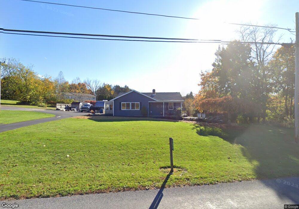
737 Range End Rd Dillsburg, PA 17019
Estimated Value: $224,155 - $266,000
3
Beds
1
Bath
1,080
Sq Ft
$222/Sq Ft
Est. Value
About This Home
This home is located at 737 Range End Rd, Dillsburg, PA 17019 and is currently estimated at $240,289, approximately $222 per square foot. 737 Range End Rd is a home located in York County with nearby schools including Northern Middle School and Northern High School.
Ownership History
Date
Name
Owned For
Owner Type
Purchase Details
Closed on
Mar 25, 2004
Sold by
Deutsche Bank National Trust Co
Bought by
Hostler John W and Hostler Connie S
Current Estimated Value
Home Financials for this Owner
Home Financials are based on the most recent Mortgage that was taken out on this home.
Original Mortgage
$64,000
Interest Rate
5.2%
Mortgage Type
Purchase Money Mortgage
Purchase Details
Closed on
Nov 9, 1993
Bought by
Bankers Trust Co Of Ca
Create a Home Valuation Report for This Property
The Home Valuation Report is an in-depth analysis detailing your home's value as well as a comparison with similar homes in the area
Home Values in the Area
Average Home Value in this Area
Purchase History
| Date | Buyer | Sale Price | Title Company |
|---|---|---|---|
| Hostler John W | $91,927 | -- | |
| Bankers Trust Co Of Ca | $70,000 | -- |
Source: Public Records
Mortgage History
| Date | Status | Borrower | Loan Amount |
|---|---|---|---|
| Previous Owner | Hostler John W | $64,000 |
Source: Public Records
Tax History Compared to Growth
Tax History
| Year | Tax Paid | Tax Assessment Tax Assessment Total Assessment is a certain percentage of the fair market value that is determined by local assessors to be the total taxable value of land and additions on the property. | Land | Improvement |
|---|---|---|---|---|
| 2025 | $2,890 | $102,380 | $42,470 | $59,910 |
| 2024 | $2,859 | $102,380 | $42,470 | $59,910 |
| 2023 | $2,743 | $102,380 | $42,470 | $59,910 |
| 2022 | $2,686 | $102,380 | $42,470 | $59,910 |
| 2021 | $2,513 | $102,380 | $42,470 | $59,910 |
| 2020 | $2,454 | $102,380 | $42,470 | $59,910 |
| 2019 | $2,394 | $102,380 | $42,470 | $59,910 |
| 2018 | $2,343 | $102,380 | $42,470 | $59,910 |
| 2017 | $2,343 | $102,380 | $42,470 | $59,910 |
| 2016 | $0 | $102,380 | $42,470 | $59,910 |
| 2015 | -- | $102,380 | $42,470 | $59,910 |
| 2014 | -- | $102,380 | $42,470 | $59,910 |
Source: Public Records
Map
Nearby Homes
- 771 Range End Rd
- 104 Furman Rd
- 111 Saint George Dr
- 1111 S Mountain Rd
- 0 Church St Unit PAYK2054218
- lot 1 Baltimore St
- 0 Range End Rd Unit PAYK2075290
- 45 Chain Saw Rd
- 1150 S Mountain Rd
- 65 Walmar Manor
- 78 Walmar Manor
- 0 S Mountain Rd Unit PAYK2060260
- 165 Chain Saw Rd
- 17 Homewood St
- 233 S Baltimore St
- 8 Dove Ct
- Whitehall II Plan at Stony Run Single Family Homes
- York II Garage Plan at Stony Run Townhomes
- Carnegie II Plan at Stony Run Single Family Homes
- Cranberry II Plan at Stony Run Single Family Homes
- 744 Range End Rd
- 731 Range End Rd
- 733 Range End Rd
- 733 Range End Rd
- 729 Range End Rd
- 732 Range End Rd
- 750 Range End Rd
- 727 Range End Rd
- 725 Range End Rd
- 726 Range End Rd
- 723 Range End Rd
- 722 Range End Rd
- 735 Range End Rd
- 721 Range End Rd
- 720 Range End Rd
- 790 Range End Rd
- 719 Range End Rd
- 718 Range End Rd
- 718 Range End Rd
- 761 Range End Rd