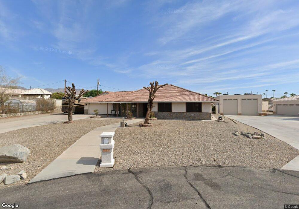
737 Satellite Ct Lake Havasu City, AZ 86404
Estimated Value: $553,200 - $717,000
3
Beds
2
Baths
1,837
Sq Ft
$335/Sq Ft
Est. Value
About This Home
This home is located at 737 Satellite Ct, Lake Havasu City, AZ 86404 and is currently estimated at $614,800, approximately $334 per square foot. 737 Satellite Ct is a home located in Mohave County with nearby schools including Havasupai Elementary School, Thunderbolt Middle School, and Lake Havasu High School.
Ownership History
Date
Name
Owned For
Owner Type
Purchase Details
Closed on
Sep 1, 2011
Sold by
St Pierre Raymond Edward and St Pierre Lori Ann
Bought by
Lopez Frank P and Lopez Patricia A
Current Estimated Value
Purchase Details
Closed on
Feb 21, 2005
Sold by
Queenen William R and Queenen Barbara A
Bought by
Stpierre Raymond E and Stpierre Lori
Home Financials for this Owner
Home Financials are based on the most recent Mortgage that was taken out on this home.
Original Mortgage
$200,000
Interest Rate
5.17%
Mortgage Type
New Conventional
Create a Home Valuation Report for This Property
The Home Valuation Report is an in-depth analysis detailing your home's value as well as a comparison with similar homes in the area
Home Values in the Area
Average Home Value in this Area
Purchase History
| Date | Buyer | Sale Price | Title Company |
|---|---|---|---|
| Lopez Frank P | $195,000 | Stewart Title & Trust Of Pho | |
| Stpierre Raymond E | $250,000 | State Title Agency Inc |
Source: Public Records
Mortgage History
| Date | Status | Borrower | Loan Amount |
|---|---|---|---|
| Previous Owner | Stpierre Raymond E | $200,000 |
Source: Public Records
Tax History Compared to Growth
Tax History
| Year | Tax Paid | Tax Assessment Tax Assessment Total Assessment is a certain percentage of the fair market value that is determined by local assessors to be the total taxable value of land and additions on the property. | Land | Improvement |
|---|---|---|---|---|
| 2026 | -- | -- | -- | -- |
| 2025 | $1,190 | $48,565 | $0 | $0 |
| 2024 | $1,190 | $56,156 | $0 | $0 |
| 2023 | $1,190 | $45,360 | $0 | $0 |
| 2022 | $1,203 | $35,229 | $0 | $0 |
| 2021 | $1,453 | $32,546 | $0 | $0 |
| 2019 | $1,510 | $29,482 | $0 | $0 |
| 2018 | $1,527 | $26,568 | $0 | $0 |
| 2017 | $1,569 | $26,010 | $0 | $0 |
| 2016 | $1,453 | $22,233 | $0 | $0 |
| 2015 | $1,478 | $18,784 | $0 | $0 |
Source: Public Records
Map
Nearby Homes
- 2875 Swirl Dr
- 2880 Sombrero Dr
- 2735 Poseidon Dr
- 710 Meadows Dr
- 2699 Poseidon Dr
- 2825 Pepperwood Dr
- 2815 Pepperwood Dr
- 3000 Applewood Dr
- 2775 Briarcrest Dr
- 2740 Arcadia Dr
- 3030 Green Acres Dr
- 2528 Tanglewood Dr
- 600 Stone Acre Dr
- 3056 Ironwood Dr
- 2795 Barbara
- 2850 Kiowa Blvd N
- 2820 Briarcrest Dr
- 2575 Ascot Dr
- 2980 Kiowa Blvd N
- 2953 Canyon Oak Dr
- 735 Satellite Ct
- 739 Satellite Ct
- 731 Satellite Dr
- 725 Satellite Dr
- 725 Satellite Dr
- 719 Satellite Dr
- 715 Satellite Dr
- 745 Satellite Dr
- 745 Satellite Ct
- 741 Satellite Ct
- 745 Satellite Dr
- 743 Satellite Ct
- 2825 Papeete Dr
- 2815 Papeete Dr
- 760 Satellite Dr
- 749 Satellite Dr
- 766 Satellite Dr
- 705 Satellite Dr
- 2805 Papeete Dr
- 750 Satellite Dr