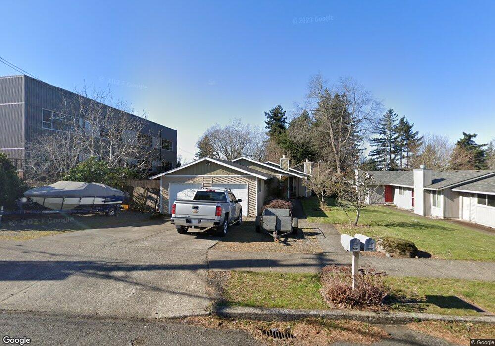
737 SE 217th Ave Unit 739 Gresham, OR 97030
North Central NeighborhoodEstimated Value: $431,947 - $450,000
4
Beds
2
Baths
1,560
Sq Ft
$282/Sq Ft
Est. Value
About This Home
This home is located at 737 SE 217th Ave Unit 739, Gresham, OR 97030 and is currently estimated at $440,237, approximately $282 per square foot. 737 SE 217th Ave Unit 739 is a home located in Multnomah County with nearby schools including North Gresham Elementary School, Clear Creek Middle School, and Gresham High School.
Ownership History
Date
Name
Owned For
Owner Type
Purchase Details
Closed on
Nov 5, 2008
Sold by
Clark Thomas J
Bought by
Miesner Gregory S
Current Estimated Value
Home Financials for this Owner
Home Financials are based on the most recent Mortgage that was taken out on this home.
Original Mortgage
$203,613
Outstanding Balance
$133,169
Interest Rate
6.09%
Mortgage Type
FHA
Estimated Equity
$307,068
Create a Home Valuation Report for This Property
The Home Valuation Report is an in-depth analysis detailing your home's value as well as a comparison with similar homes in the area
Home Values in the Area
Average Home Value in this Area
Purchase History
| Date | Buyer | Sale Price | Title Company |
|---|---|---|---|
| Miesner Gregory S | $207,000 | Ticor Title |
Source: Public Records
Mortgage History
| Date | Status | Borrower | Loan Amount |
|---|---|---|---|
| Open | Miesner Gregory S | $203,613 |
Source: Public Records
Tax History
| Year | Tax Paid | Tax Assessment Tax Assessment Total Assessment is a certain percentage of the fair market value that is determined by local assessors to be the total taxable value of land and additions on the property. | Land | Improvement |
|---|---|---|---|---|
| 2025 | $4,598 | $225,970 | -- | -- |
| 2024 | $4,402 | $219,390 | -- | -- |
| 2023 | $4,010 | $213,000 | $0 | $0 |
| 2022 | $3,898 | $206,800 | $0 | $0 |
| 2021 | $3,800 | $200,780 | $0 | $0 |
| 2020 | $3,576 | $194,940 | $0 | $0 |
| 2019 | $3,482 | $189,270 | $0 | $0 |
| 2018 | $3,320 | $183,760 | $0 | $0 |
| 2017 | $3,185 | $178,410 | $0 | $0 |
| 2016 | $2,809 | $173,220 | $0 | $0 |
Source: Public Records
Map
Nearby Homes
- 21532 SE Alder St
- 21525 SE Oak St
- 210 SE 218th Ave
- 21400 SE Stark St Unit 2
- 21260 SE Stark St
- 21553 SE Ankeny Terrace
- 1035 SE 225th Ave
- 209 SE 214th Ave
- 132 SE 214th Ave
- 21016 SE Stark St Unit 71
- 21016 SE Stark St Unit 69
- 2730 NE Roberts Ave
- 21033 SE Clay Ct
- 2013 NW Bella Vista Dr
- 450 NE 22nd St
- 1811 NW 19th St
- 535 NE 24th St
- 2775 NE Linden Ave
- 349 NE 18th St
- 1861 NW Wonderview Ave
- 723 SE 217th Ave Unit 725
- 21640 SE Alder St Unit 21644
- 21660 SE Alder St Unit 21662
- 21707 SE Alder Dr
- 21720 SE Alder Dr
- 633 SE 217th Ave Unit 635
- 21723 SE Alder Dr
- 21600 SE Alder St Unit 21602
- 21643 SE Alder St Unit 21647
- 836 SE 217th Ave
- 21724 SE Alder Dr
- 21603 SE Alder St Unit 21605
- 615 SE 217th Ave Unit 617
- 21540 SE Alder St
- 21546 SE Alder St
- 908 SE 217th Ave
- 21621 SE Alder St Unit 21627
- 21805 SE Alder Dr
- 21549 SE Alder St
- 901 SE 218th Ave
Your Personal Tour Guide
Ask me questions while you tour the home.